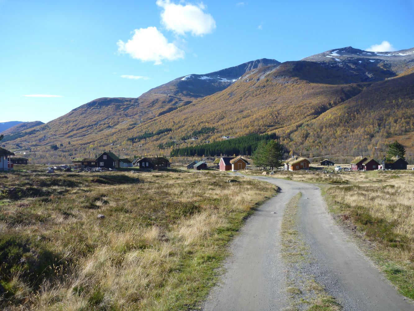
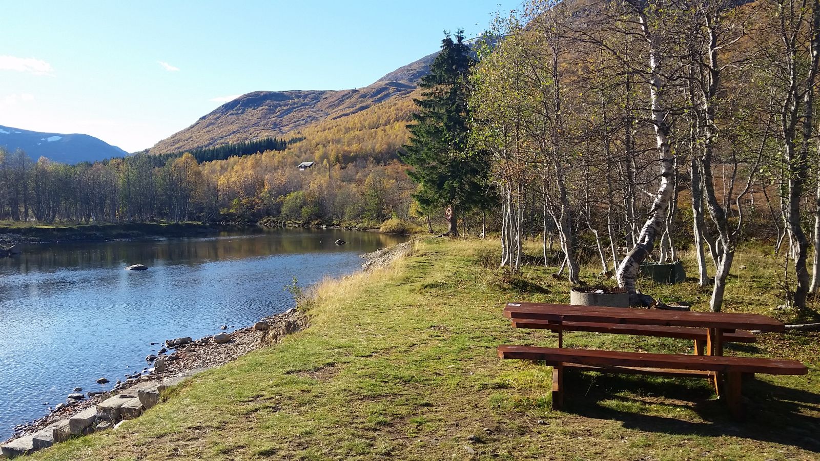
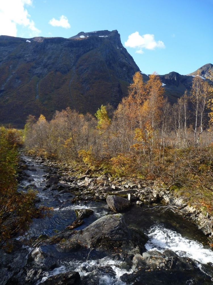
Around Øyna is an easy 2 km long looped trail that follows a gravel road. Øyna is located in the Langsæter area where there are two large summer mountain farms, Pusken and Kvitlane. Pusken lies further to the north. Øyna is a river delta that lies between the summer mountain farms. You will find a “gapahuk” shelter, a toilet, a place for a fire, as well as swimming and fishing opportunities in Øyna. The Langsæter area is a starting point for many great trails, including both calm walking trails and more challenging mountain hikes and mountain passage trails.
Route description
From the car park near the Puskebrua Bridge, walk over the bridge and turn right and follow the gravel road alongside the river. Continue walking along the river and after about 700 metres you will reach another bridge. Walk over this bridge and you will come to the Kvitlestølen summer mountain farm. You will find the trail postbox on a small car park at the top of the farm. Continue walking down from the farm. After about 700 metres you will reach a junction with Langsætrevegen Road. Turn right and walk for another 700 metres back to the car park. The area of Øyna itself covers a smaller areal than the looped trail described here. There are paths and footbridges in Øyna that are all easy to find, and the area is easy to navigate through. The easiest way to reach Øyna with its “gapahuk” shelter and the place for a fire is to start from the Puskebrua Bridge and walk along the river in the direction of Kvitlane. Turn onto the side road to the right after 200 metres. You will also easily get to Øyna from Kvitlestølen.
Access and parking
Drive along County Road 650 to Mo and turn off onto the county road in the direction of Overøye. Continue for about 1.9 km from Arena Overøye Resort on Langsætervegen Road towards Puskestølen. Park your car before the Puskebrua Bridge and walk over the bridge. Turn right and follow the gravel road along the river.
You can park your car near the Puskebrua Bridge. The parking fee is 50 NOK (automatic).
Hiking route
Green
Distance
2 km one way
Elevation
30 m
Duration
1 t. 5 min
Sesong
Winter, Spring, Summer, Autumn
Highest Point
398 masl
Signage
Both signed and marked
Mobile coverage
Map route
Surface type
Distance
Grus
2
Other
Øvre Stordal, Langsætrane and Øyna have their own tourist maps. You can download them as PDF files on http://www.friluftsraadet.no

 Driving directions
 Route data