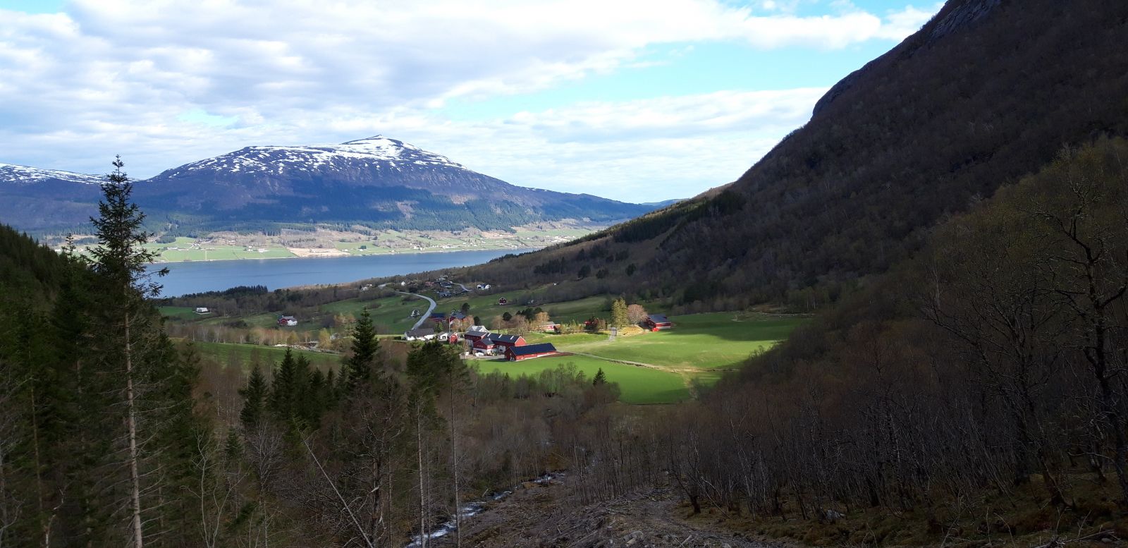
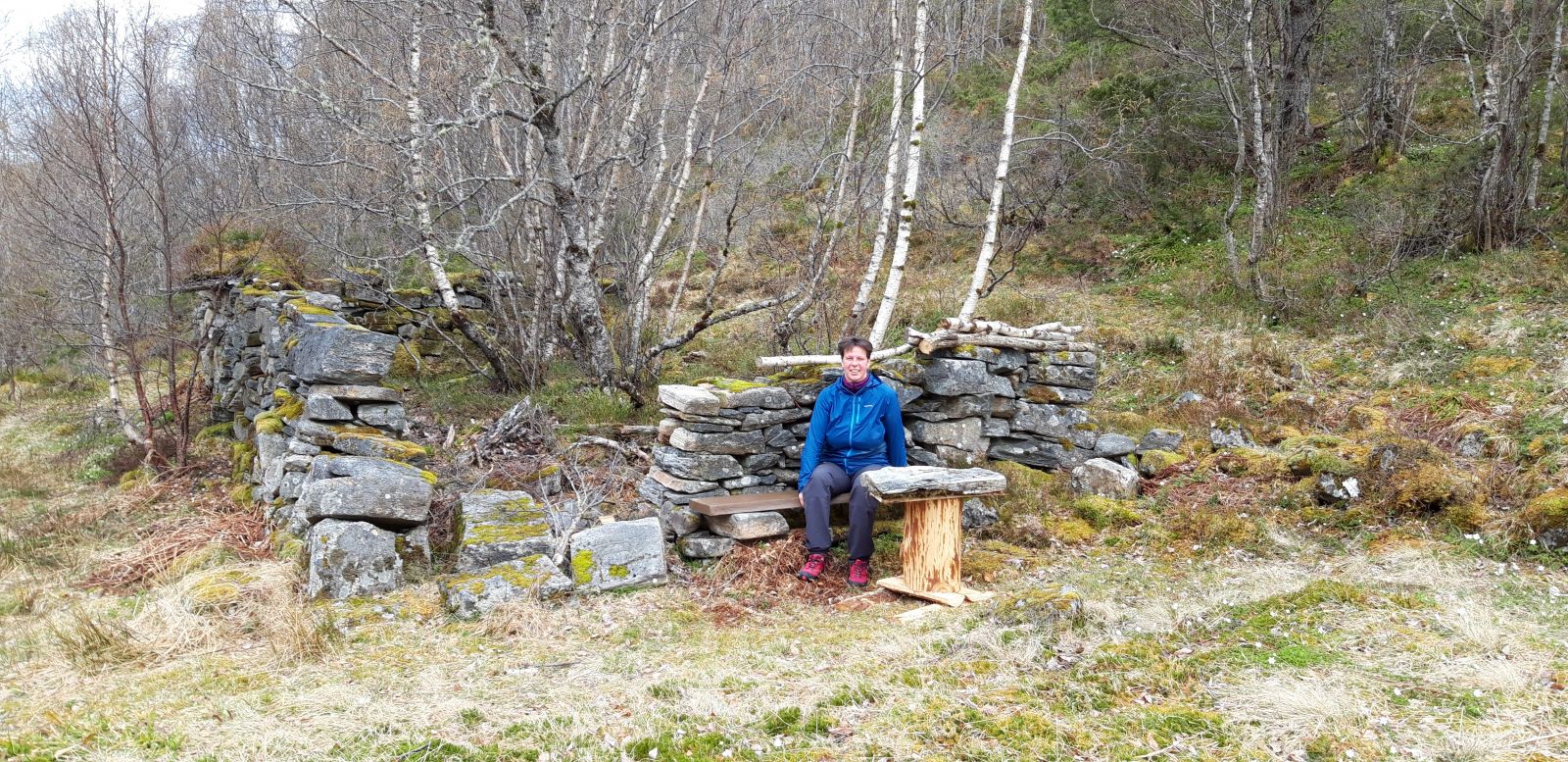
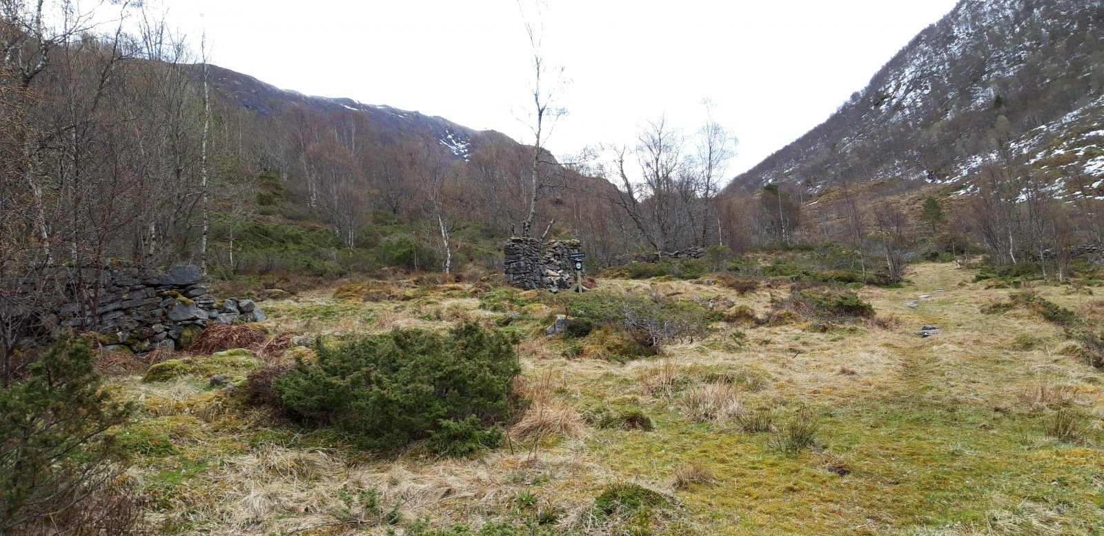
This lovely hike is well suited for children despite being a little steep. You will pass an old power plant on your way to the remains of the summer mountain farm Øverlandsetra. The site is considered as cultural heritage, so please be careful. Every Sunday, you can buy freshly baked bread, buns, and other pastries in the farmyard of the Harstad family, which is nice to bring on a hike.
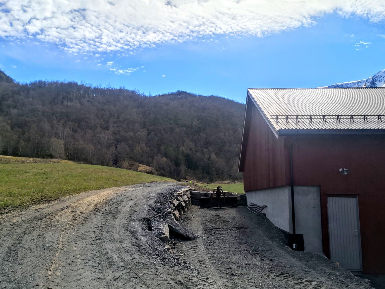
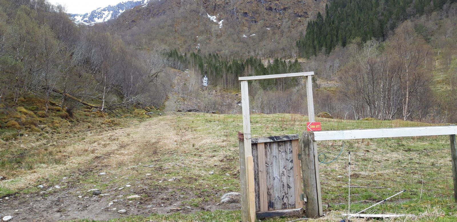
Turn left from the daycare centre and follow the main road for about 750 m before turning onto the gravel road that runs straight ahead. Look for signs for the farm shop (“gårdsbutikk”) and the Stikk UT trail. Follow the gravel road until you reach the farmyard. Behind the barn on the farm, you will find a tractor road that goes to the right. Walk up this road. Please make sure to properly close all the gates you walk through. There may be grazing animals in the area. For this reason we also kindly ask you to keep your dog on a leash. The leash regulation in Gjemnes Municipality applies from 15 April up through 15 October.
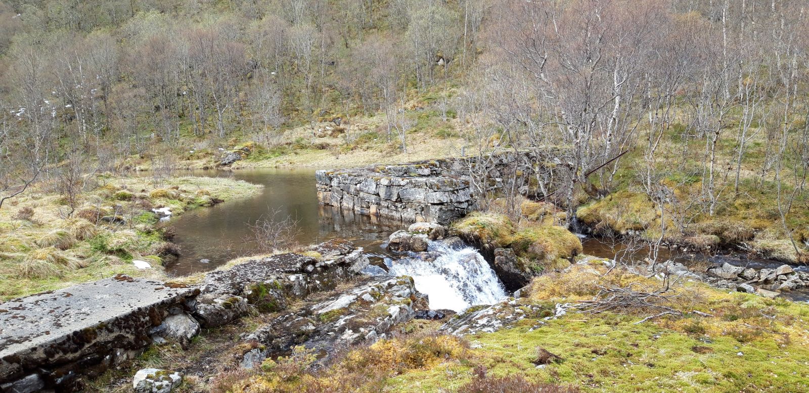
This is where a relatively long steep section of the trail begins. The tractor road eventually turns into a well-defined path. You will first see the old power plant. Continue following the path until you come to the remains of a mountain farm. The foundation walls of the old buildings are cultural heritage which should be treated with care. The walls can be unstable. Follow the same route back.
For a longer hike, consider walking over the mountain to Lake Astadvatnet and Batnfjordsøra. Once you reach Astadvatnet, you can turn to Mount Harstadfjellet, which is one of the Stikk UT trail destinations in 2021.
From Eide, follow County Road 532 until you reach the border of Gjemnes Municipality. After about 1 km from the border, you will see a sign for a daycare centre on your right.
Parking: by Lykkeliten Daycare Centre.
From Gjemnes, follow County Road 532 in the direction of Eide. Park your car by Lykkeliten Daycare Centre.
Duration
1 t. 20 min.

Sesong
Spring, Summer, Autumn
| Surface type |
Distance |
| Grus |
0,23 |
| Sti |
1 |
There is not much public transport in the area.
The old power plant was the first in Storlandet, and Øverland was the first farm to get electricity. The first dam that was constructed here was not stable enough, which resulted in a burst. Masses of water brought rocks, mud, and trees from the mountain down to the sea. It must have been a frightening experience for the locals.
The remains of the stone foundation walls at the mountain farm are unusually high for the area. You can clearly see the perimeters and location of the farm buildings.
 Driving directions
 Route data
GeoJSON