Øverberg – Vassdalsbu – Kvistivatnet – Bjørnen – Øverberg
Vanylven
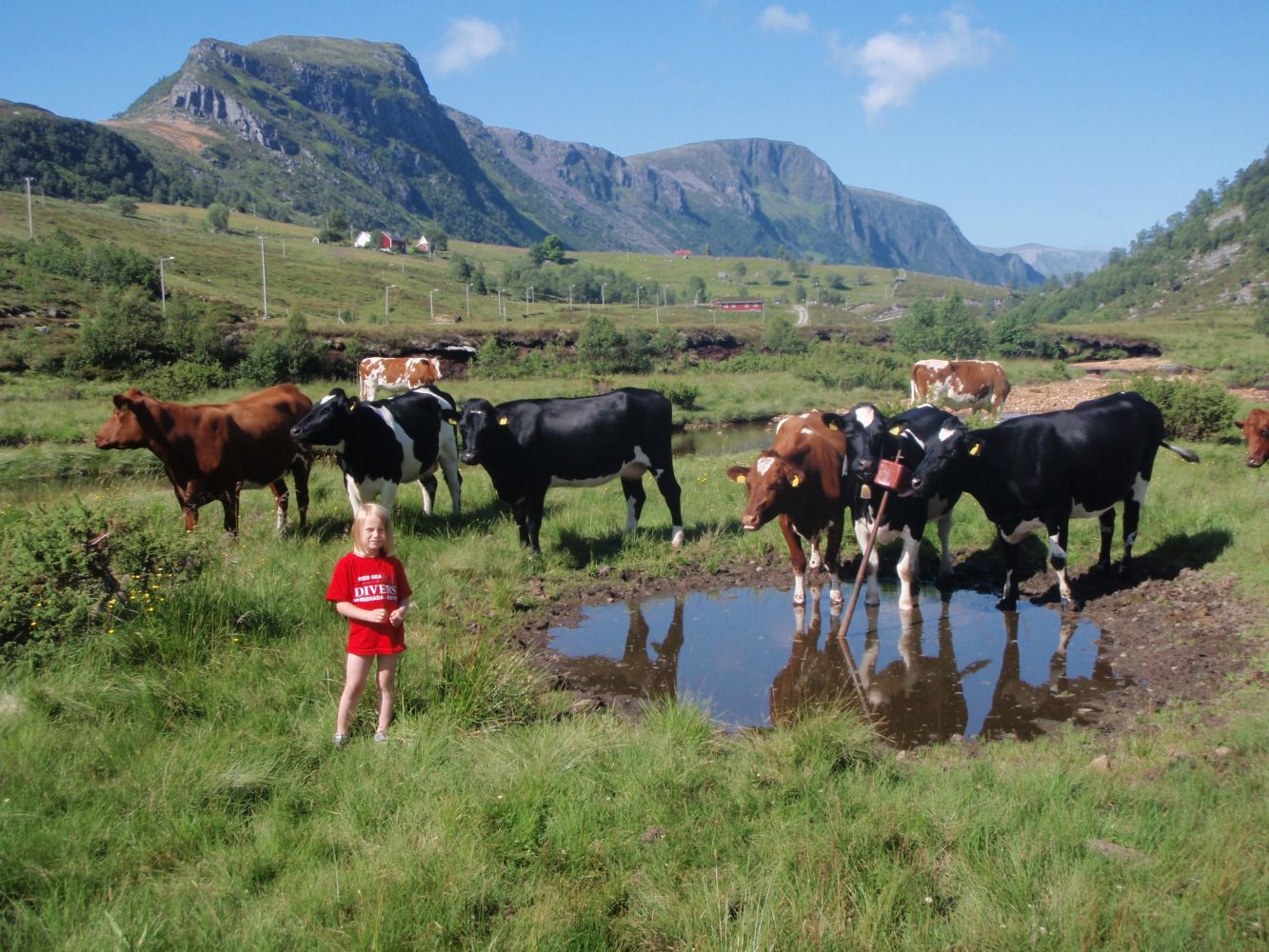
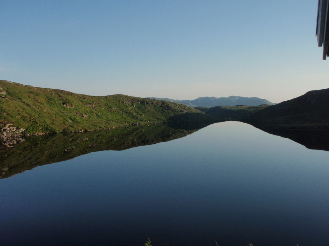
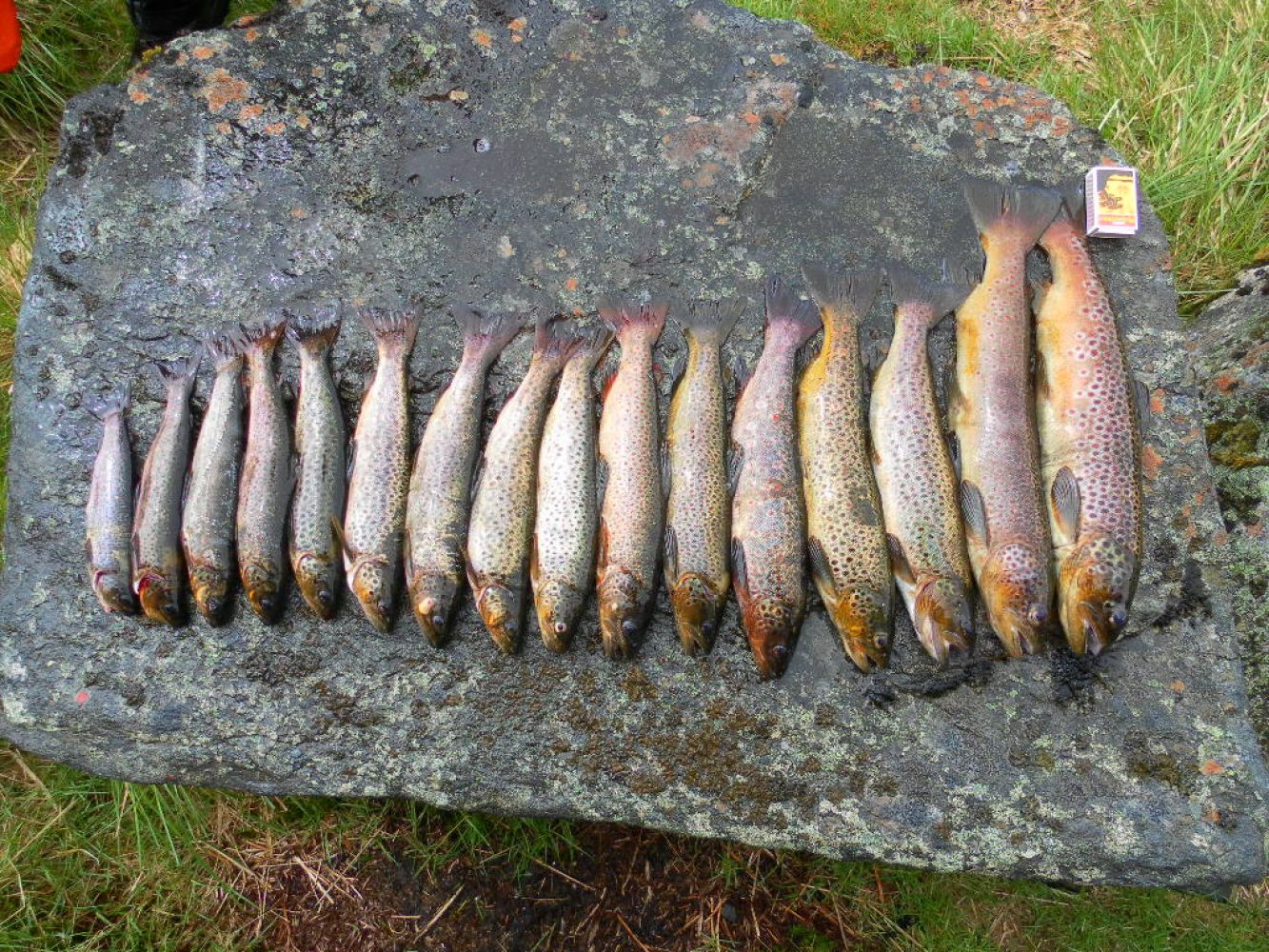
This trail winds its way from Øverberg towards Lidane with an idyllic river on one side, which is ideal for both fishing and swimming. You will find the remains of some stone walls at the end of the gravel road. As you walk through Lidane, the trail gradually ascends towards Vassdalsbu. Continue towards Lake Kvistivatn and Bjørnen as the landscape opens up and you finally get a fantastic view of Saurdal and Syvde in the north and the mouth of the Vanylvsfjord in the west. There are many tent sites along this route, for example by Lake Kvistivatn (marked on the map).
The start and the endpoint of this trail is the car park by the ski lodge at the ski resort Øverberg Skisenter.
Follow the gravel road for about 1 km. Continue along a solid path that follows a moraine ridge before a small climb to Leitet. You will come to a junction (N62 01.520 E5 42.040) just before Leitet. Turn right and walk up the small hilltop where you will find a sign that reads “Leite”. The path continues through a scenic landscape to Vassdalsbu. From Vassdalsbu, go west up a hill until you reach Lake Skinvatnet. Walk diagonally up until you reach the river mouth at Lake Kvistivatn. Head east and follow the mountain ridge. A slightly steeper section begins from the private cabin (N62 01.412 E5 40.798) and ends at a plateau which you should follow all the way to the cairn on the top of Bjørnen. The section down from Bjørnen to Øverberg is partially steep. The remaining section of the trail follows a gravel road.
If you start from Øverberg: take the county road from Syvde towards Saurdal (6 km). Drive along a municipal road (gravel) for about 2 km in the direction of Øverberg.
Park your car by the ski lodge at the ski resort Øverberg Skisenter. Parking fee for one day is NOK 20.

 Driving directions
 Route data