Øverberg – Rota – Route 55c
Vanylven
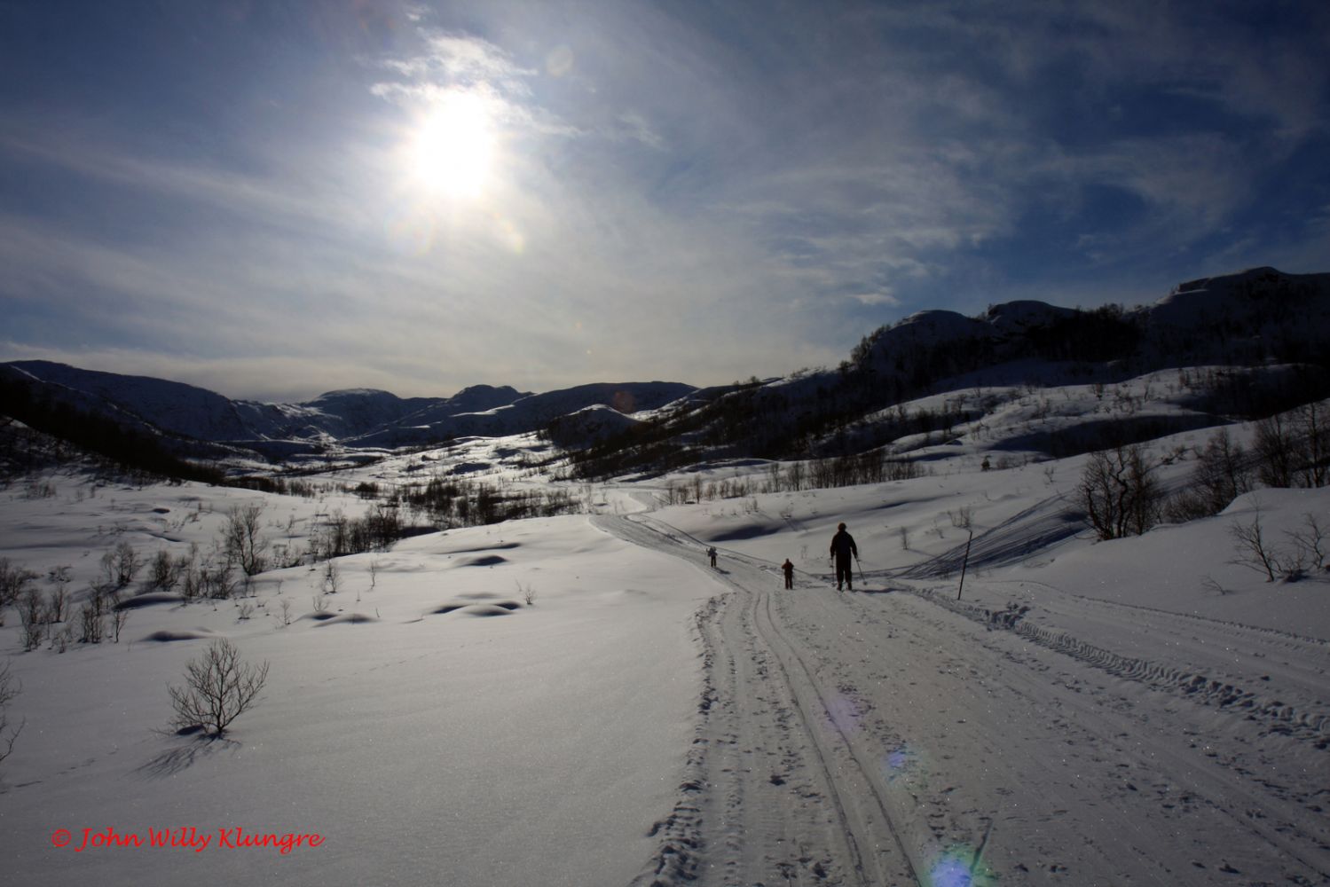
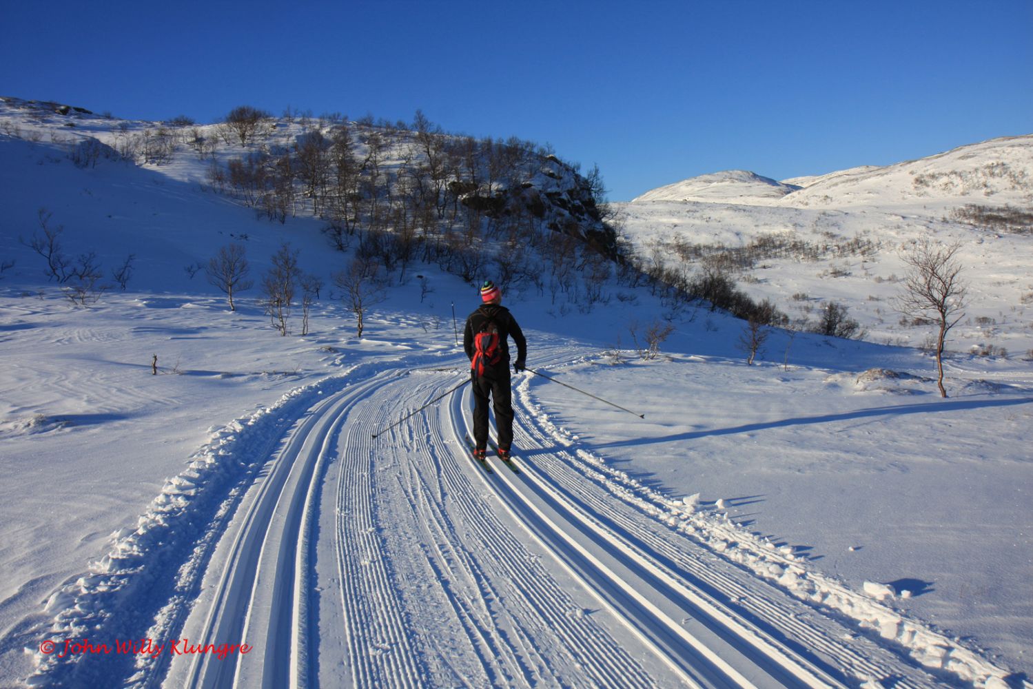
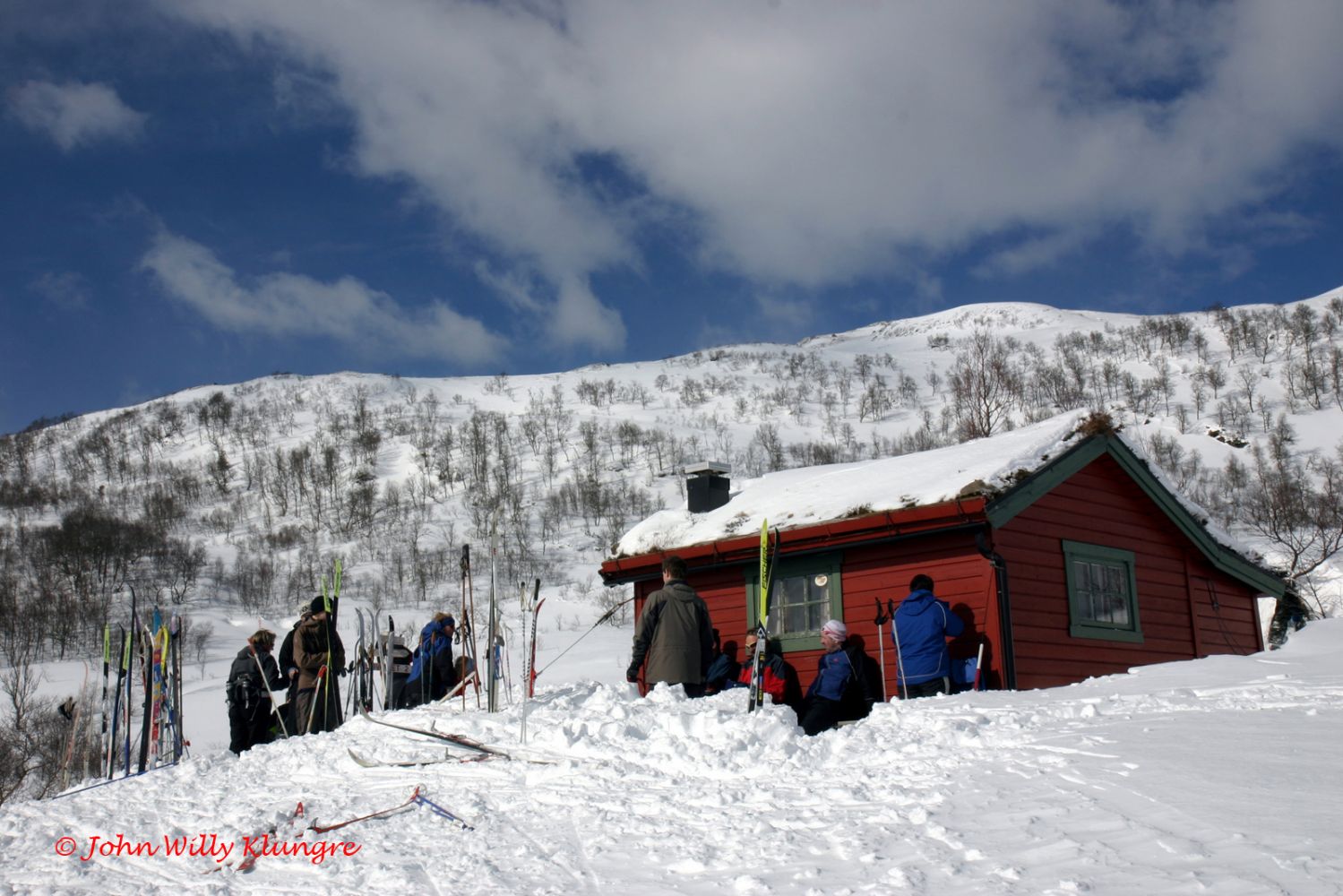
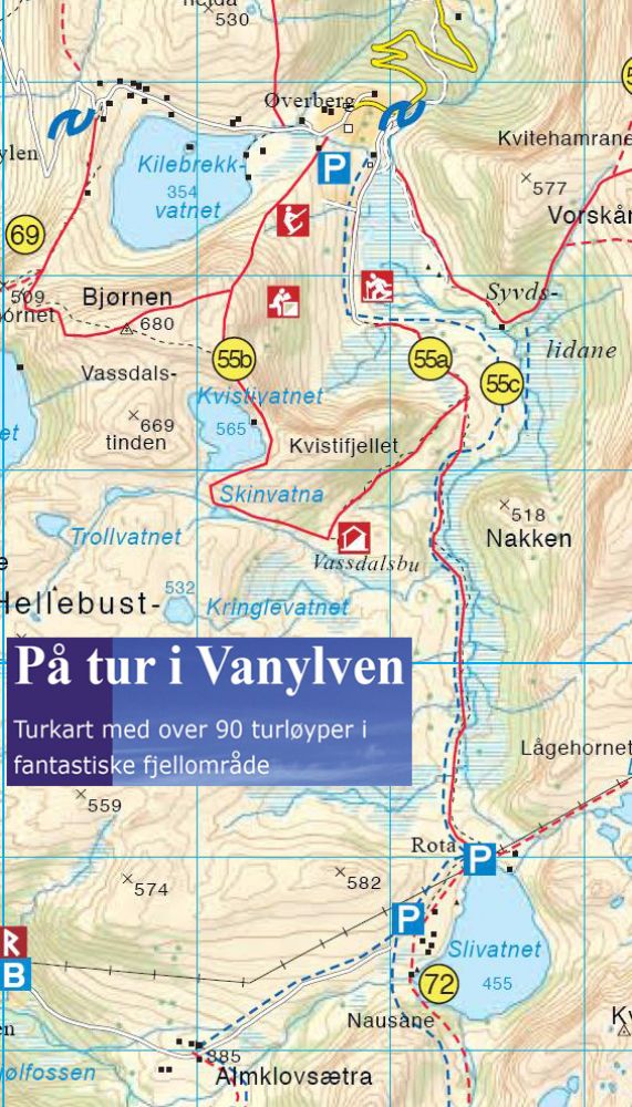
This is a family-friendly groomed ski trail in easy terrain. There is a spacious gapahuk shelter with a place for a fire about halfway between Øverberg and Rota. The trail follows a prepared ski route through the valley between Øverberg and Rota. In normal snow conditions, there are also groomed trails that start a few hundred metres south of the gapahuk. If you follow that route, you will come to the open ski lodge Vassdalsbu, which is a popular hiking destination and a meeting place for people coming from the north and the south. You can follow parts of the trail or the entire trail. In good snow conditions, there are often other prepared ski trails in the area.
This trail runs between two of Vanylven’s most popular areas for outdoor activities in winter. If you start in the north, you can drive along the road from Syvde, which is open in winter, to the Øverberg car park at 284 m a.s.l. If you start from the south, take the road from Åheim to Almklovdalen and park your car before you have to walk through the last section to Rota.
Øverberg car park – 285 m a.s.l.
Gapahuk shelter – 380 m a.s.l.
Rota – 460 m a.s.l.
Vassdalsbu – 455 m a.s.l.
Park your car by the ski resort Øverberg Skisenter or along the road from Almklovdalen if you start from the south.
Duration
2 t. 20 min.

| Surface type |
Distance |
| Preparert med tråkkemaskin |
11,2 |
Hiking map: På tur i Vanylven (Eng. Hiking in Vanylven) – can be purchased at local shops and petrol stations in Vanylven Municipality.
 Driving directions
 Route data
GeoJSON