Ørnetua – from Gusdal/Åheim
Vanylven
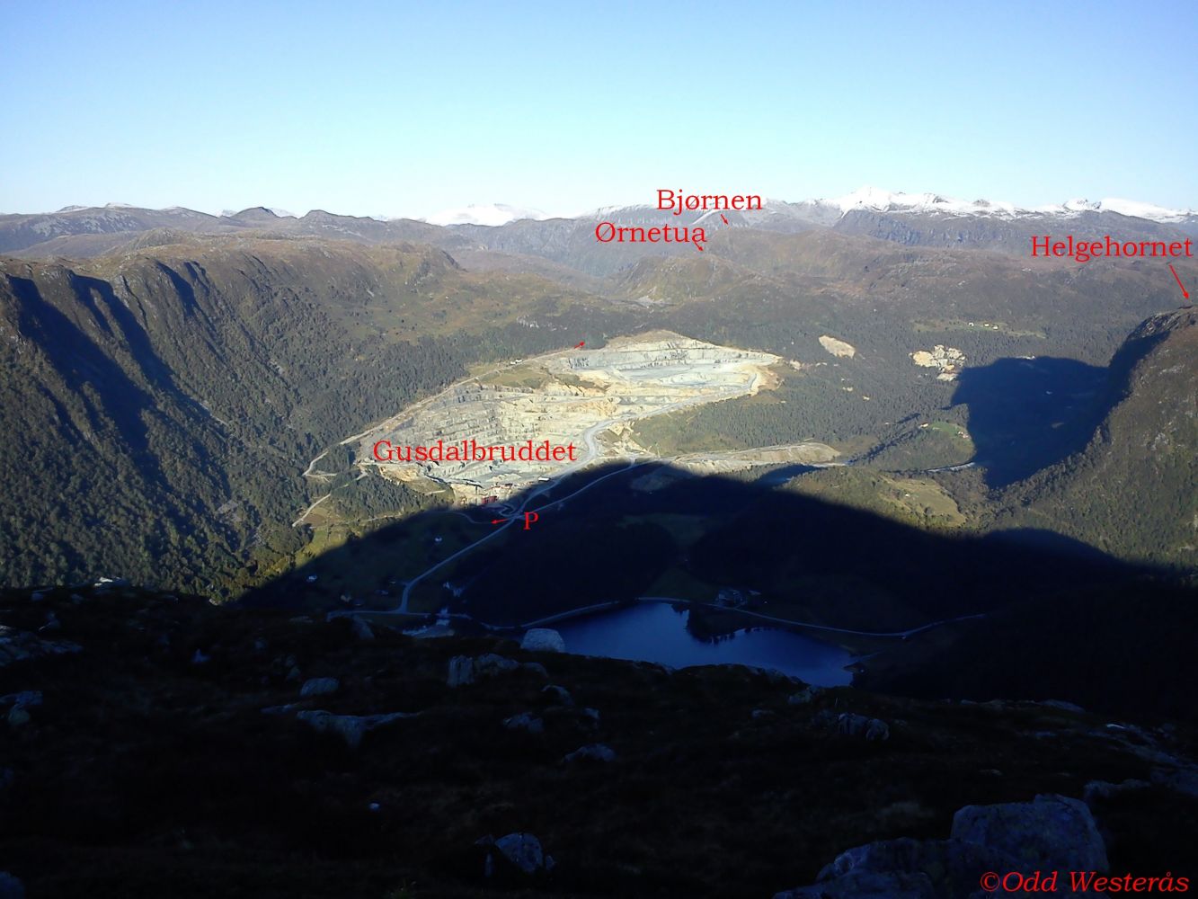
This is a relatively easy hike where more than half of the trail follows a good-quality gravel road. The first section of this trail follows Gusdalbruddet, an open-pit mine where Sibelco Nordic in Åheim annually extracts around 2 million tonnes of olivine, which is then crushed and sifted out into various fractions. Some of it is also used in the production of refractory materials. The stone is transported from the quarry down to the facility in Åheim by means of a 4 km long conveyor belt through a tunnel in the mountain. It comes out by the fjord at the Åheim facility.
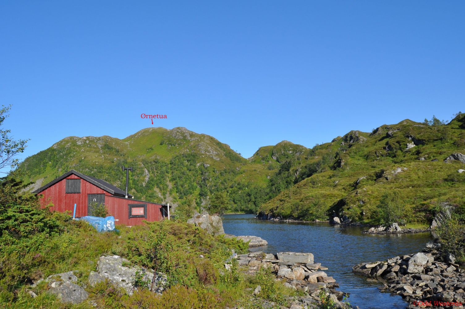
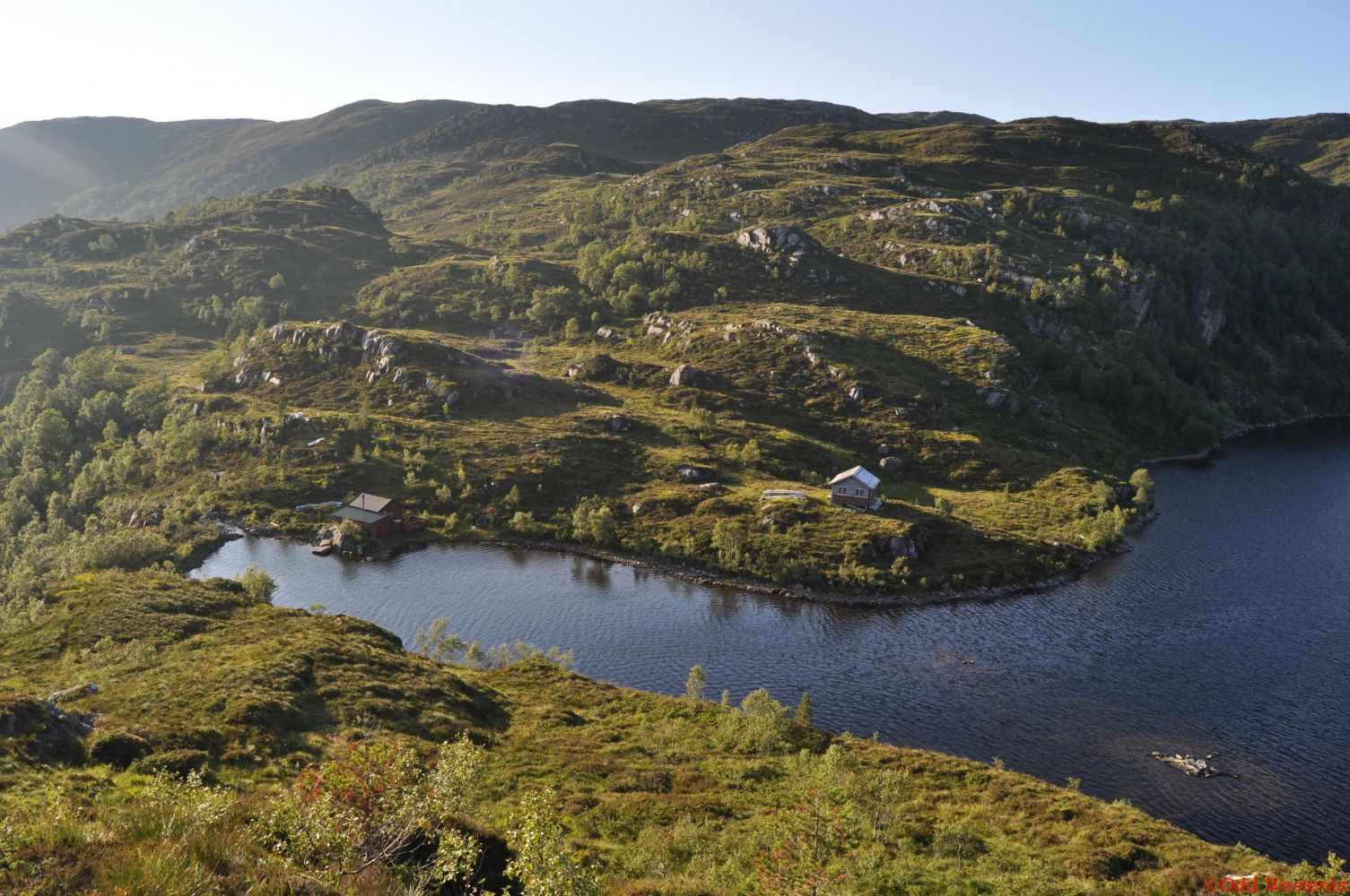
On this route, you will walk past the idyllic Lake Skjevatnet, where you can also go fishing.
The mountain peak Ørnetua offers a fantastic view in all directions.
This is one of a total of three routes to Ørnetua. The other two start from Kilebrekka/Syvde and Syltedalen/Sylte. The route from Kilebrekka is described on morotur.no under
Ørnetua – from Kilebrekka, route 69 – Trails – Morotur – Møre og Romsdal County Municipality.
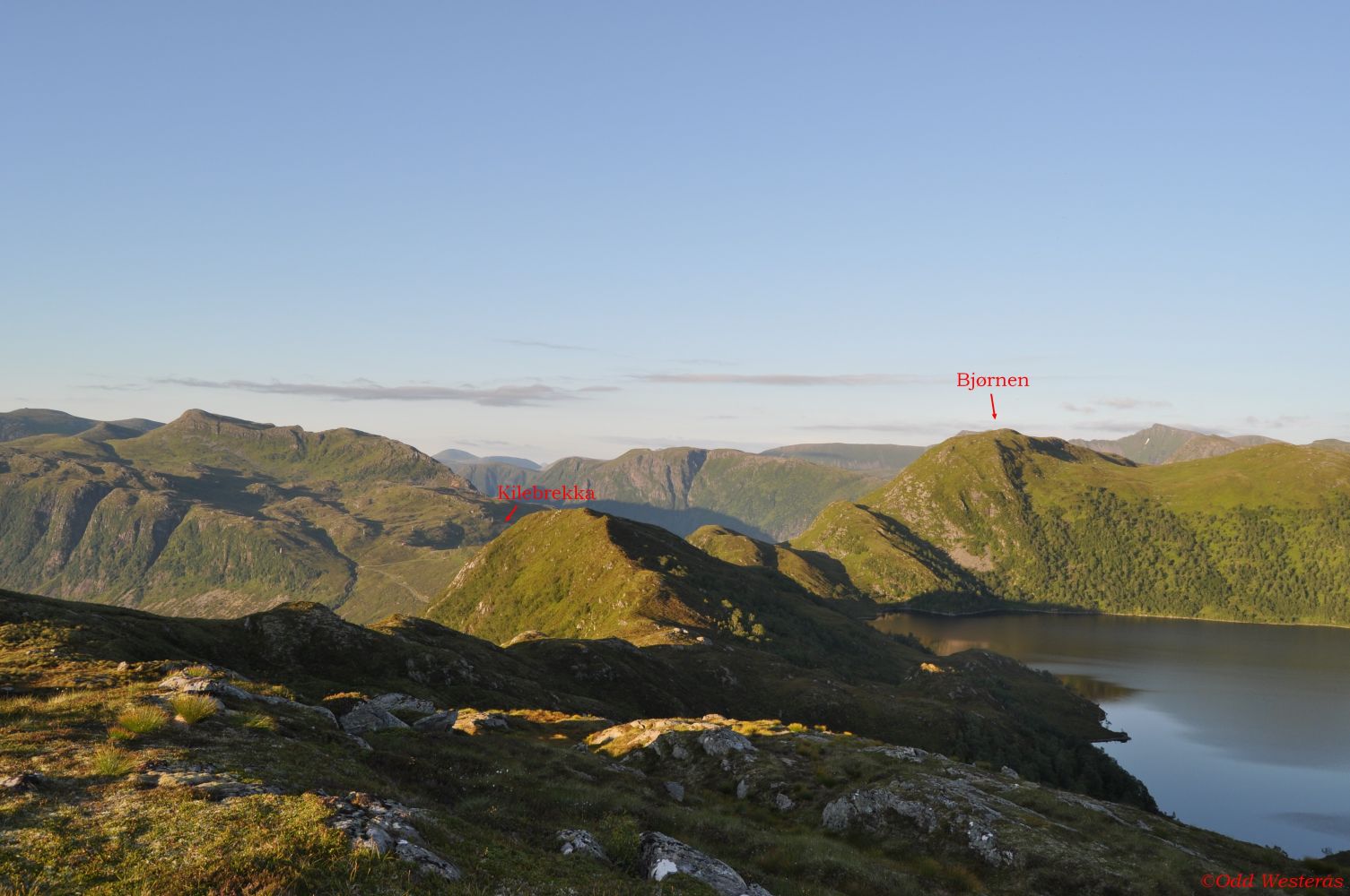
For a longer trail, you can continue to Kilebrekka and walk via Bjørnen: Bjørnen – Kilebrekka Circular Trail – Bjørnen – Øverberg – Route 55B/69 – Trails – Morotur – Møre og Romsdal County Municipality.
The trail starts from the olivine quarry in the Gusdalen Valley. Follow the gravel road that goes up on the west side of the quarry. There is a sign pointing to Ørnetua at the start of the trail. After about 2.2 km, you will pass the Berge farms. The residents relocated from here due to the expansion of the olivine quarry. From the farms, you will have a panoramic view of the quarry. The road splits in two about 200–300 metres after the buildings in Berge. Turn left and continue along the tractor road. A couple of hundred metres after the fork in the road, you will pass a gate. Please close it since there may be animals grazing in the area. The trail is now marked with blue paint on stones and trees or with blue sticks. The tractor road turns left and then right 300 metres after the gate. Turn right just after the right turn of the road. The place where you should turn off the tractor is marked with a sign for Ørnetua. You will now enter a good-quality path through the forest. After about 150 metres along this path, you will come to the idyllic Lake Skjevatnet. Here, you will meet the route from Syltedalen and see its way markers in front of the cabin. The trail continues across a stone bridge over the river just below the river mouth. The path is not so clearly defined through the remaining section of the trail, but it is well marked and easy to walk on. Some rocky outcrops above Lake Skjevatnet may be a little slippery, but you can easily bypass them. About 600 metres after the lake, turn left towards the ridge that leads to Ørnetua. After about 100 metres, the trail turns slightly to the right before you are up on the ridge which will take you all the way to the peak. Return the same way. You can also walk to Kilebrekka or follow the route towards Syltedalen.
Turn off to Sunndal/Almklov at the junction in Åheim, north of the river. After 4 km, you will reach Gusdal and the junction with a road to Almklov. Turn left at the sign for Almklov. You will arrive at the olivine quarry about 500–600 metres after the junction. Park your car on the side of the road opposite to the quarry. There is a sign for Ørnetua on the other side of the road.
The car park in Gusdalen by the exit road to the olivine quarry is well-maintained and free to use.
Distance
8,1 km both ways
Duration
3 t. 20 min.

| Surface type |
Distance |
| Sti |
1,5 |
Hiking map: På tur i Vanylven (Eng. Hiking in Vanylven) – can be purchased at local shops and petrol stations in Vanylven Municipality.
 Driving directions
 Route data
GeoJSON