Nystøylhornet, route 3
Vanylven
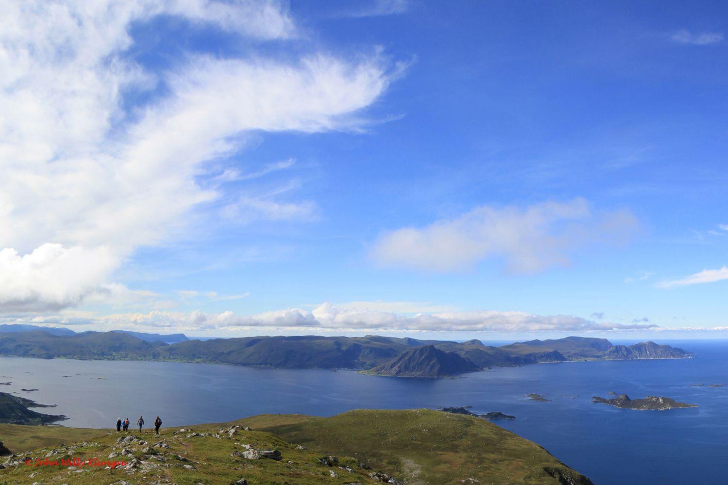
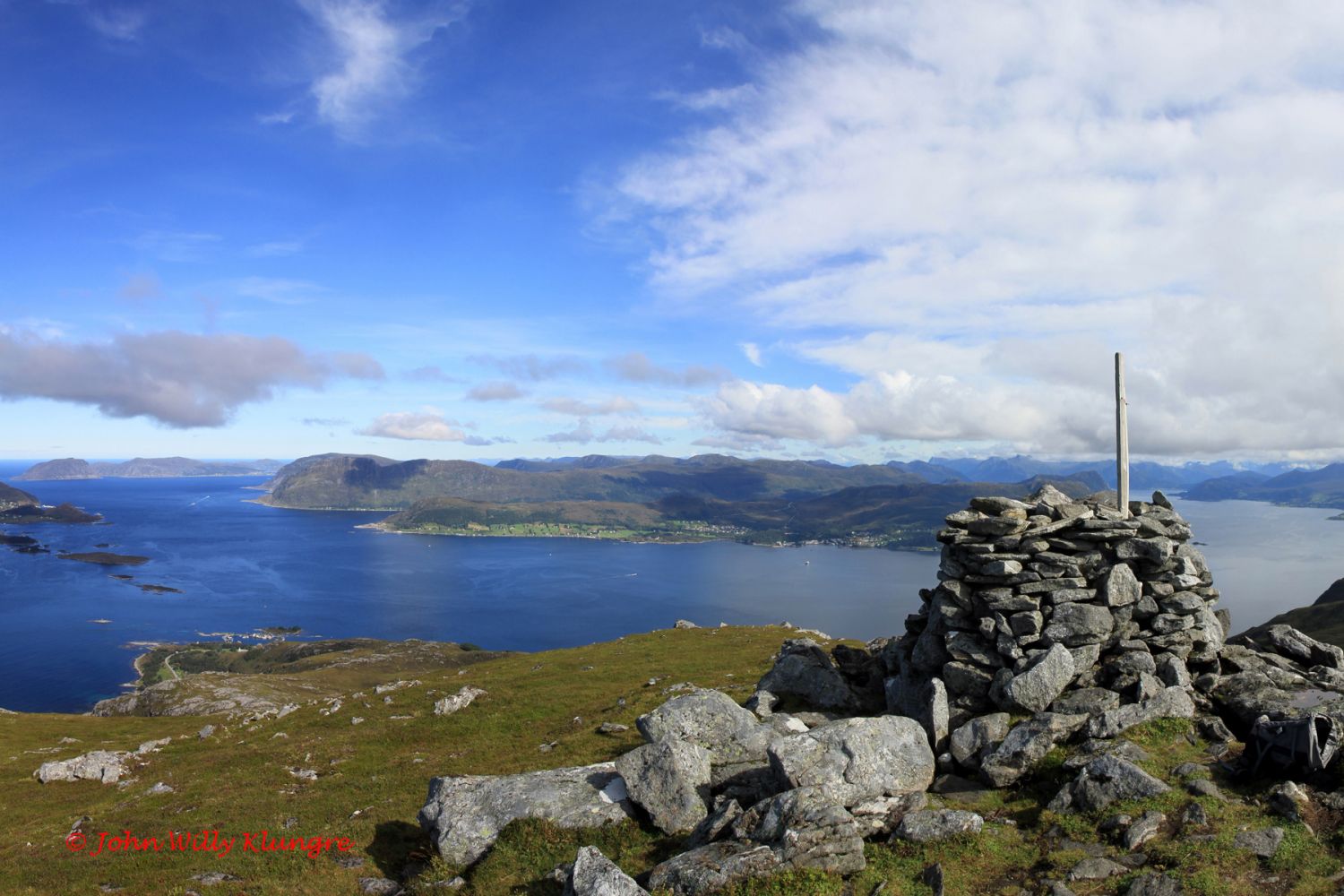
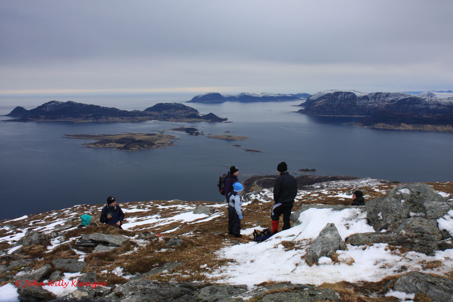
If you want to enjoy a fantastic view in all directions, the free-standing mountaintop of Nystøylhornet would be a great choice. In the south, you will see the mountains around the glaciers Gjegnalundsbreen and Ålfotbreen. The island of Vågsøy and the Stadlandet Peninsula will be in the southwest. You will get a wide view towards the ocean and the islands in the municipalities of Sande and Herøy as well as a view of the fjords towards the inner parts of Sunnmøre. In good weather, you can combine this hike with a dip in the sea on the incredibly beautiful sand beach of Sandvika.
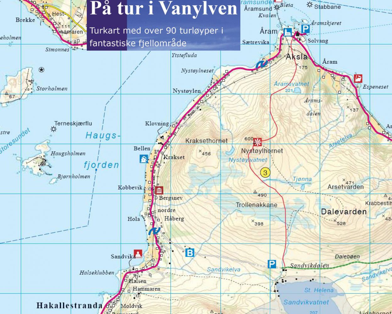
You can start walking either from Åram Church and or from the end of the toll road in Sandvikdalen. The beginning of the path is signposted at both starting points. The easiest option is to start the hike from the end of the toll road at the height of 240 m a.s.l. in Sandvikdalen. If you start and finish the hike in Sandvikdalen, you will follow the hiking route that is graded green. In that case, you will walk through gentle terrain along a well-marked path until you reach the top at 600 m a.s.l. You can also bring children on this hike. The information below regarding the ascent, length, and other details applies to the hiking option with the start from Sandvikdalen. The trail with the starting point in Åram covers steerer and more difficult terrain and is graded blue, but offers a great view the entire time.
You can start walking either from Åram Church located just by the ferry terminal in Åram or from the Sandvikdalen Valley. The road to Sandvikdalen begins 1 km north of the bridge over the Sandvikelva River.
There are car parks both next to Åram Church and at the end of the toll road in Sandvikdalen.
Duration
3 t. 10 min.

Sesong
Spring, Summer, Autumn
Signage
Both signed and marked
Mobile coverage
Partially
| Surface type |
Distance |
| Sti |
6,5 |
Hiking map: På tur i Vanylven (Eng. Hiking in Vanylven) – can be purchased at local shops and petrol stations in Vanylven Municipality.
 Driving directions
 Route data
GeoJSON