Nyken – Route 59
Vanylven
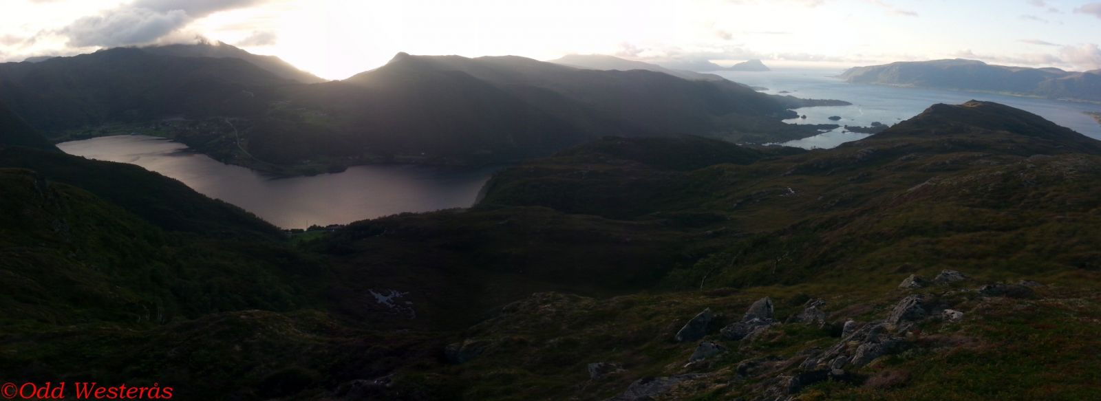
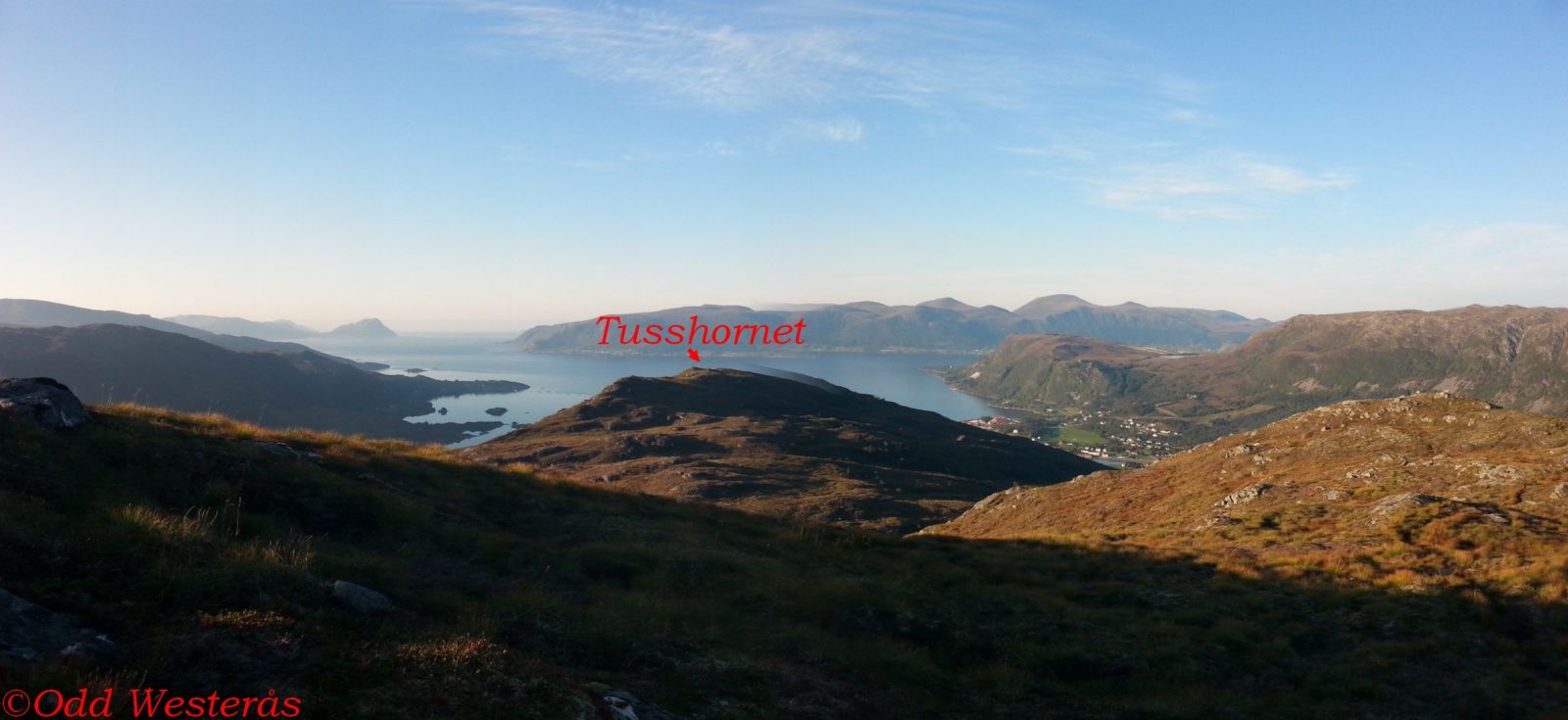
This trail covers fairly easy terrain. It is often combined with longer hiking trails, either via Vaulsnipa or further towards Tusshornet. Nyken is a great viewing point. Vaulvatnet at the start of the trail is a good fishing lake.
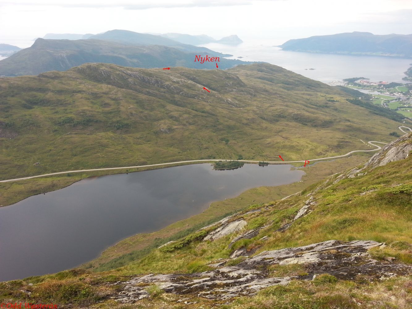
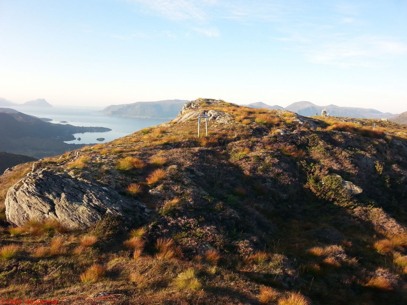
The trail starts from the northern end of Lake Vaulvatnet, which is located along FV61 between Åheim and Bryggja/Maurstad. You will see a sign showing the direction from the car park. The well-marked path climbs up west from the sign. Turn slightly to the right after about 500 metres and walk up along the ridge towards the highest point of the trail. Turn right and walk down to Nyken. The highest point of the trail is signposted. Feel free to take a walk out to the mountain edge right behind the sign to enjoy the view.
From the junction in Åheim, follow FV61 over the bridge in the direction of Måløy. The car park and the starting point of the trail are in Maurstadeidet, 3.8 km from the junction in Åheim. You will find the car park at the end of Lake Vaulvatnet right after you reach the plateau after driving up the road that bends up from Åheim.
The car park at the start of the trail is free of charge.
Distance
2,81 km both ways
Duration
1 t. 20 min.

Sesong
Spring, Summer, Autumn
Signage
Both signed and marked
| Surface type |
Distance |
| Sti |
2,78 |
Hiking map: På tur i Vanylven (Eng. Hiking in Vanylven) – can be purchased at local shops and petrol stations in Vanylven Municipality.
 Driving directions
 Route data
GeoJSON