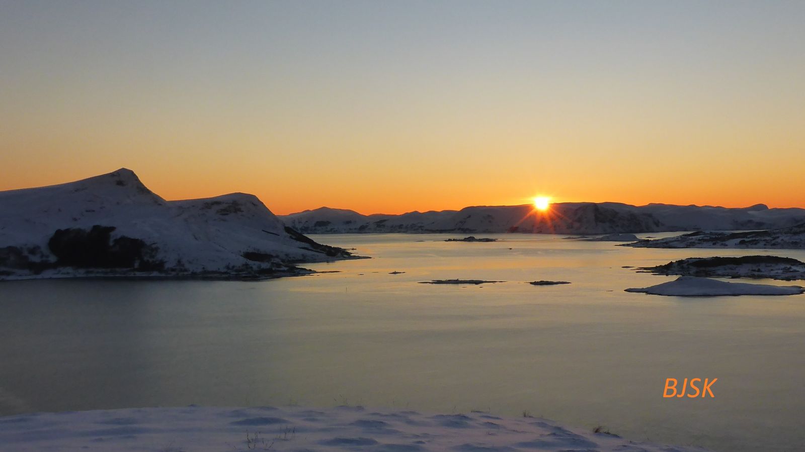
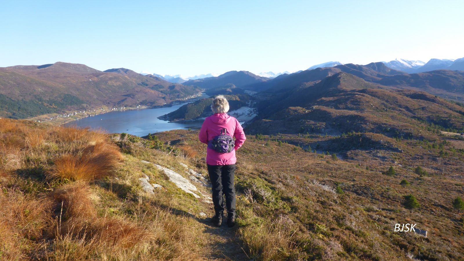
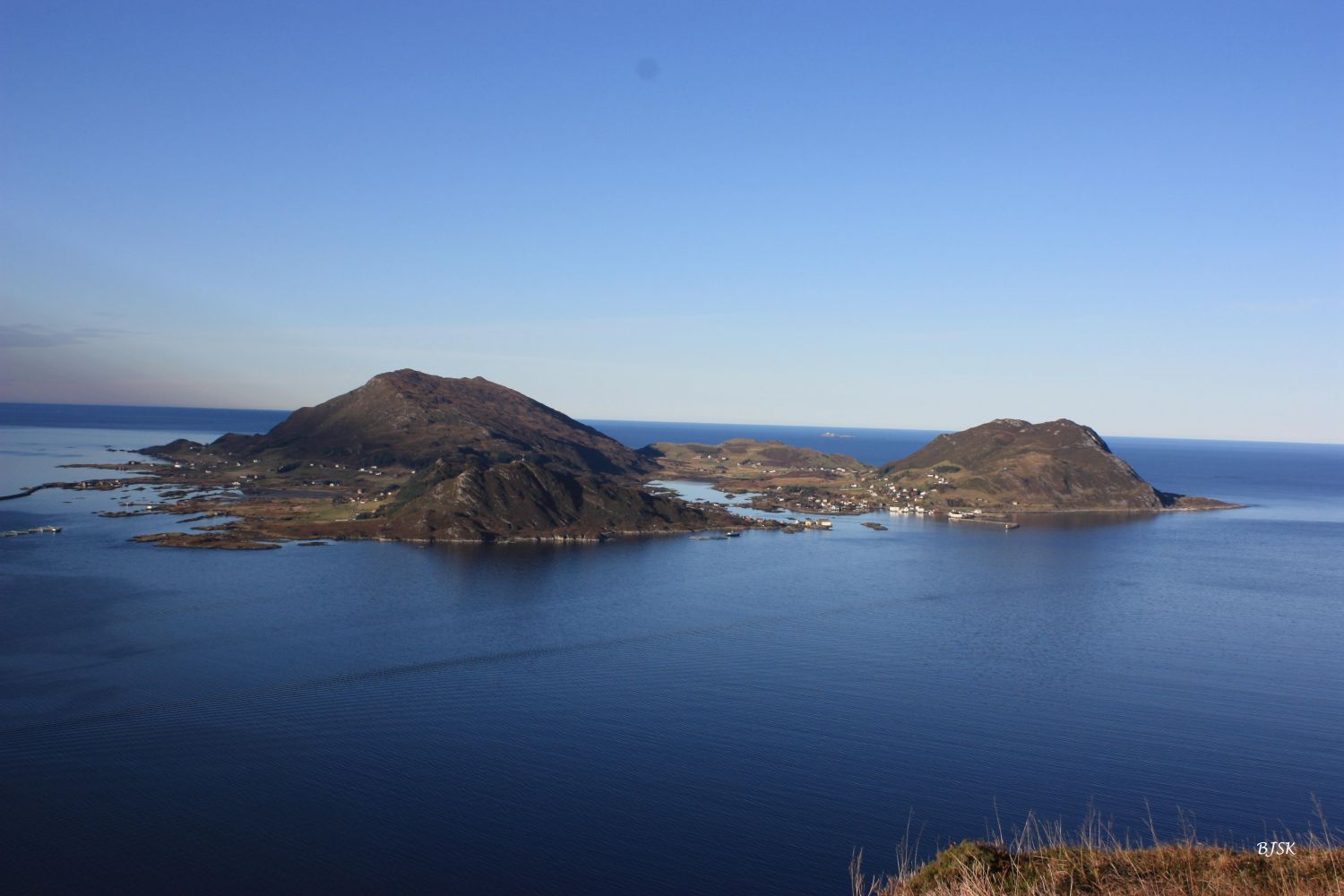
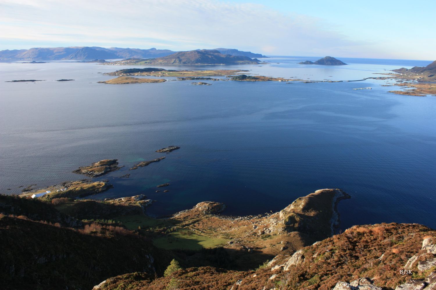
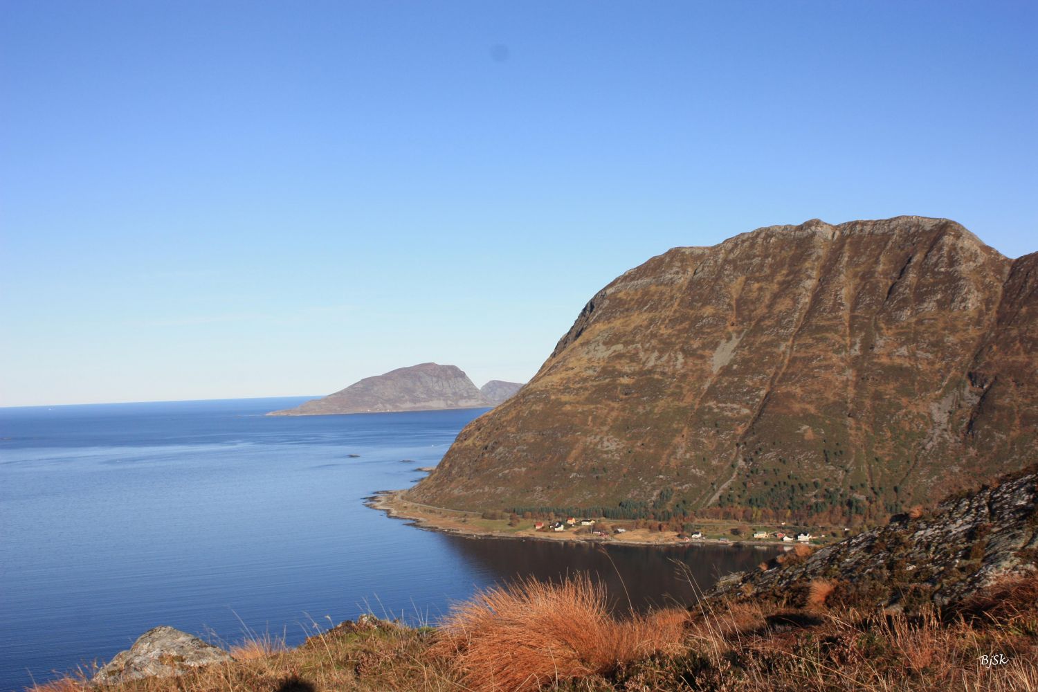
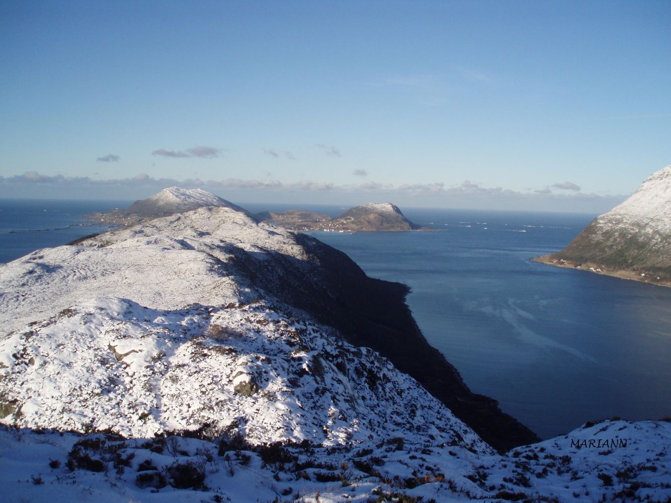
Nupatinden is a mountain peak that offers scenic views of the islands in the outer Sande, the Gurskefjord, the Hallefjord, and the ocean. This is a lovely walk through gentle terrain. The Larsnes Sports Association (Larsnes IL) set up a trail post on the peak. You can also check the description of the Storehornet/Sandviktua trail.
The trail starts at the west side of the road, from the highest point of Drageskaret. Walk west over some marshy areas. Follow the mountain ridge up to the peak of Storehornet. From there, the path takes a steep descent and then follows the highest ridge west until it reaches Nupatinden. The path is solid under foot but can be slippery over the marshy areas in rainy weather.
Park your car along County Road 61 (FV61), at the highest point of Drageskaret, between Gursken and Larsnes.
Distance
7,11 km both ways
Duration
2 t. 35 min.

Sesong
Spring, Summer, Autumn
Signage
Both signed and marked
| Surface type |
Distance |
| Sti |
7,2 |
Nupatinden is a bird sanctuary. From 1 May to 31 July, you are only allowed to follow the path to the mountain peak. It is considered illegal to walk off the path during that period of time.
Hiking map of Ytre Søre Sunnmøre, M711 1119 III Vanylven, sunnmorskart.no
 Driving directions
 Route data
GeoJSON