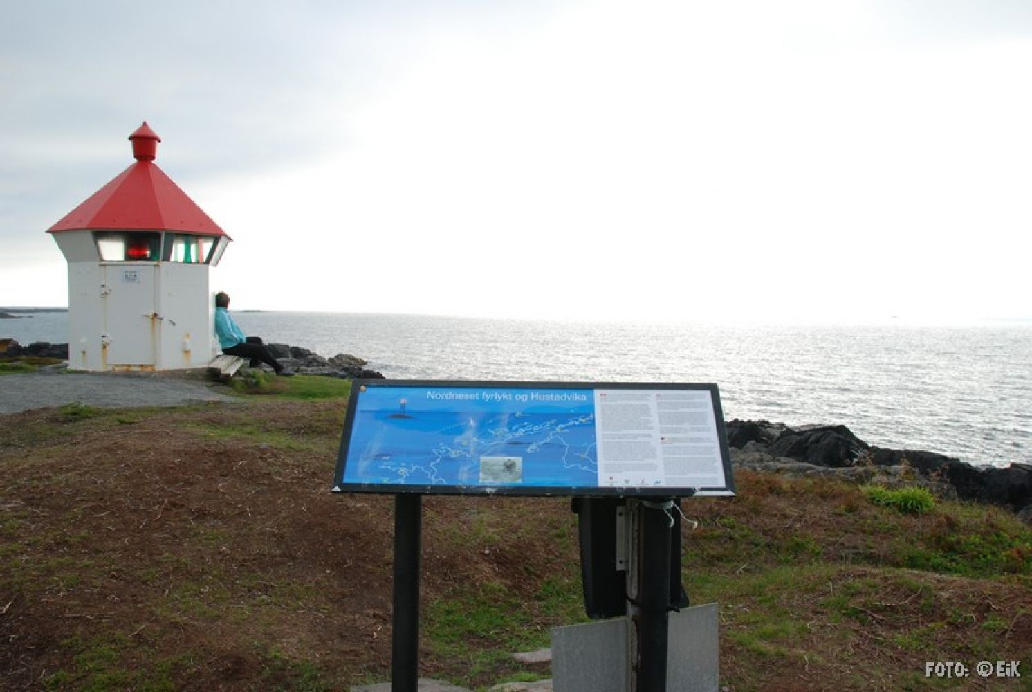
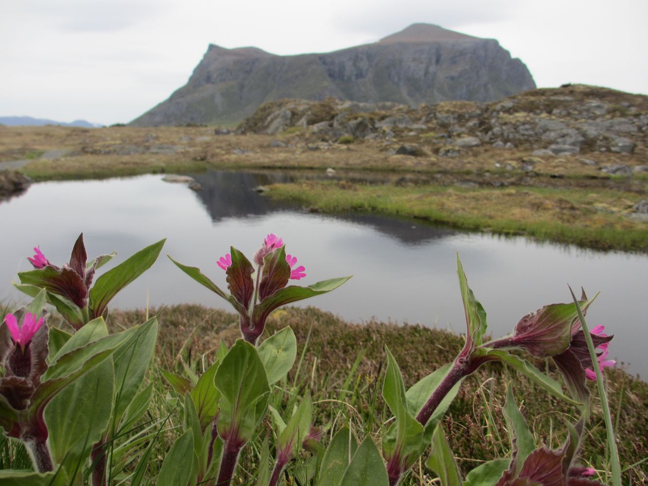
Nordneset Lighthouse is the destination of this hike, and you will find a Stikk Ut trail postbox there. The ocean is a beautiful site in both sunshine and stormy weather. The coastal area has diverse vegetation, and you can find Primrose (Primula Vulgaris), Red Campion (Silene Dioica), Marsh Marigold (Caltha Palustris), and Golden Root (Sedum Roseum) here in spring.
Route description
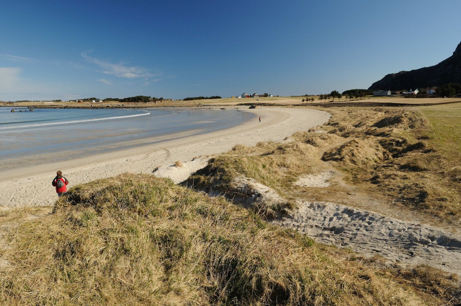
Start walking along the gravel path from the car park until you reach the Farstadsanden beach. It is important that you walk all the way down to the beach itself and not on the edge of the meadow. The coastal meadow is a PROTECTED area of nature reserve and is at risk of major deterioration. We ask EVERYONE to follow the fence all the way down to the beach, walk to the end of the beach, and return to the gravel path there.
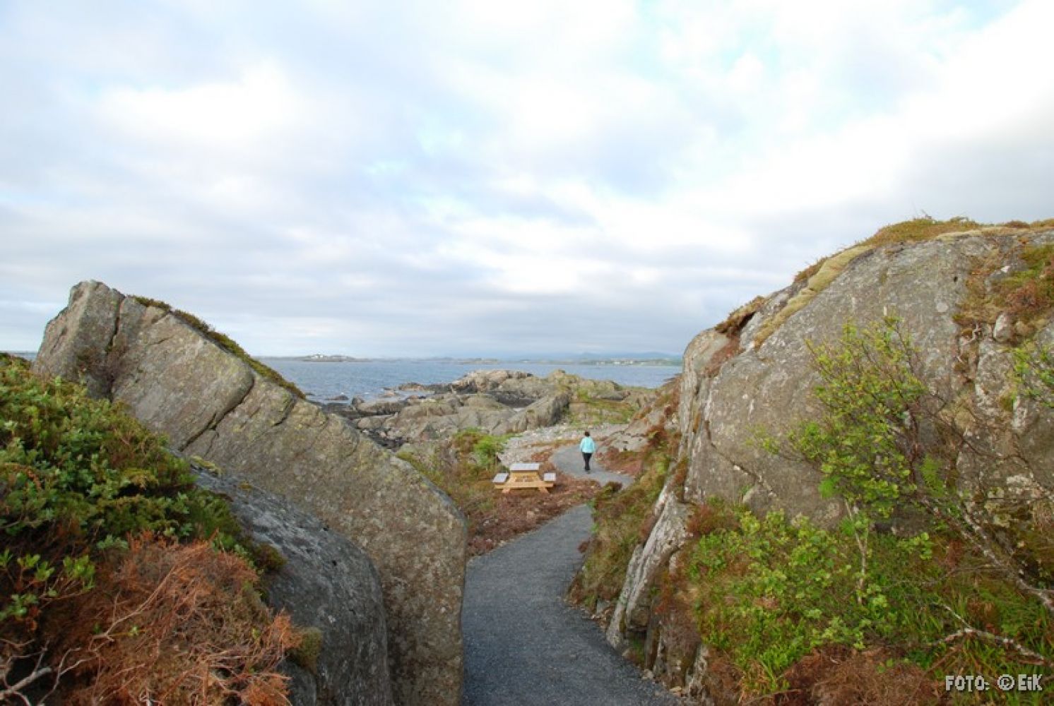
At the end of the beach, you will find a wider gravel path that weaves along the coastline in the direction of the lighthouse in the north. Once you have passed a small sandy beach, the path splits in two. You can choose to go left, where the path runs closest to the beach, or walk straight ahead. Both options lead to Nordneset Lighthouse. The trail runs along the coastline with an amazing ocean view.
Be careful on the rocks by the lighthouse, especially in snowy and stormy weather. Do not come too close to the ocean since the shore can be hit by large waves.
Arrival and parking
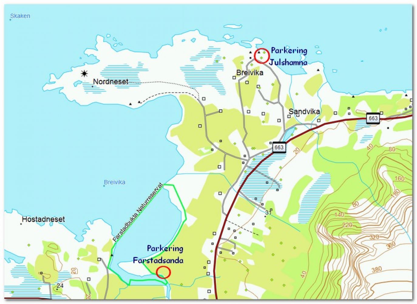
The Farstadsanden beach is signposted as part of the Norwegian Scenic Routes, and it is a perfect starting point for this nice and fairly easy hike to Nordneset Lighthouse.
Alternatively, you can park your car in Julshamna further north, but there are only a few parking spaces there. You can walk to and from Farstadsanden via Nordneset, which will be a much longer hike.
Hiking route
Green
Distance
2,37 km one way
Elevation
43 m
Duration
1 t. 20 min.
Sesong
Winter, Spring, Summer, Autumn
Highest Point
15 masl
Signage
Both signed and marked
Map route
Surface type
Distance
Grus
2,4
Public transport
There is a public bus service to Farstad. Please visit the FRAM website to check the timetable.
Other
Alternatively, you can start in Julshamna and walk to and from the lighthouse. This section of the trail is also very nice!

 Driving directions
 Route data