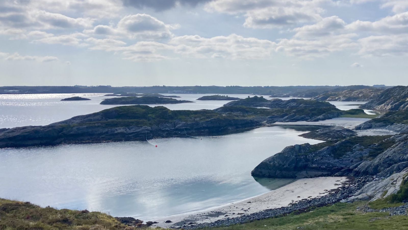
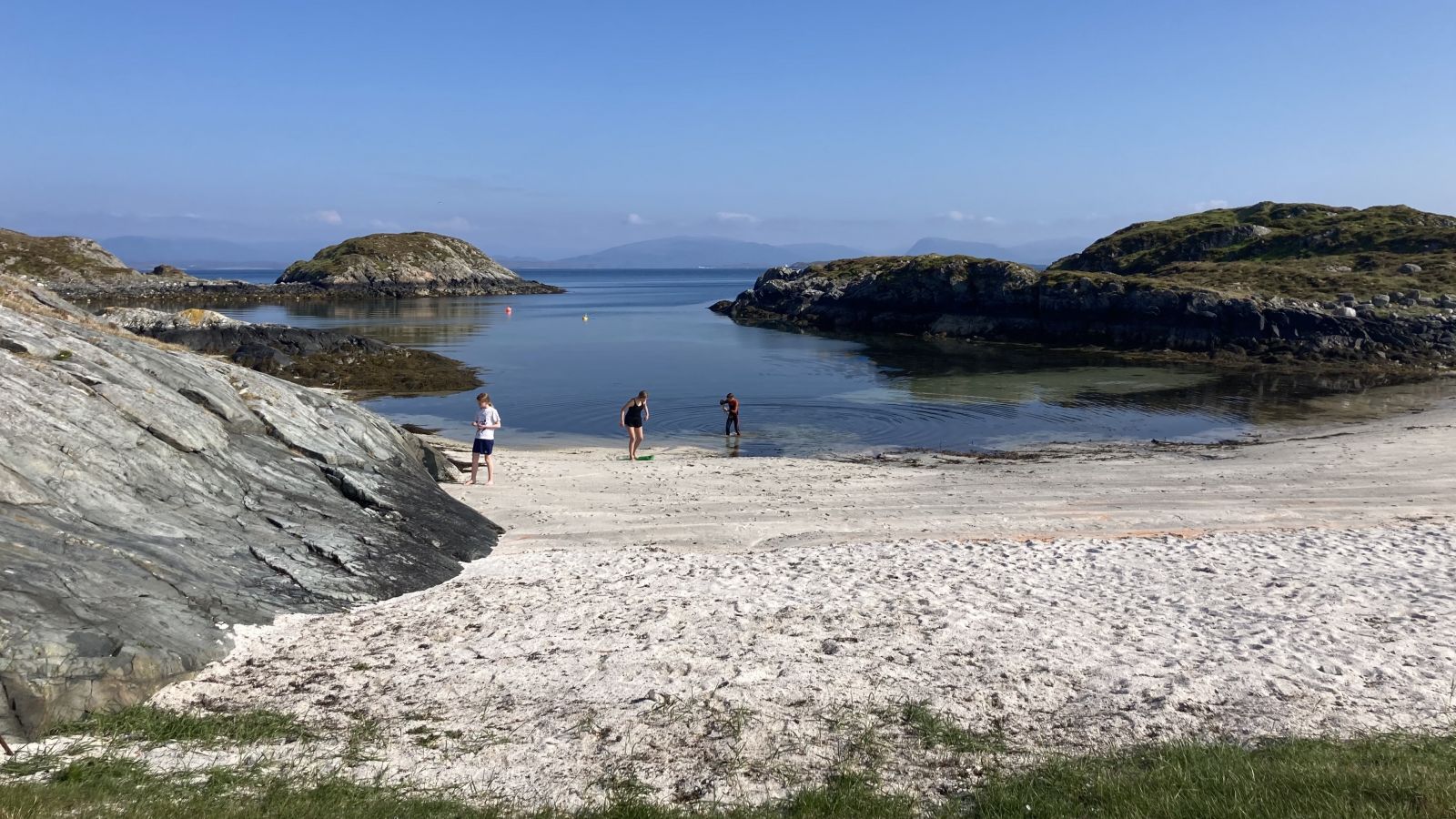
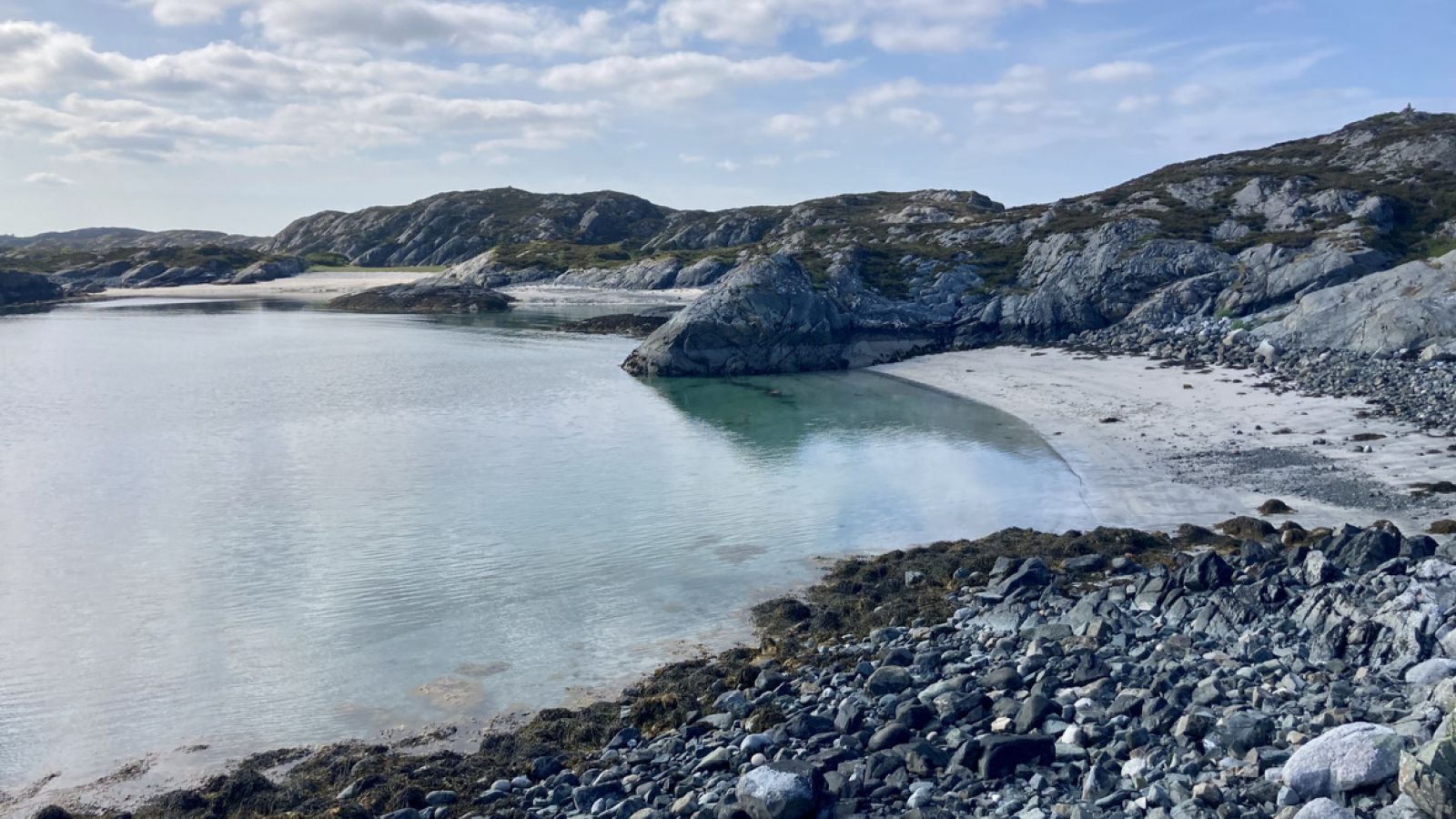
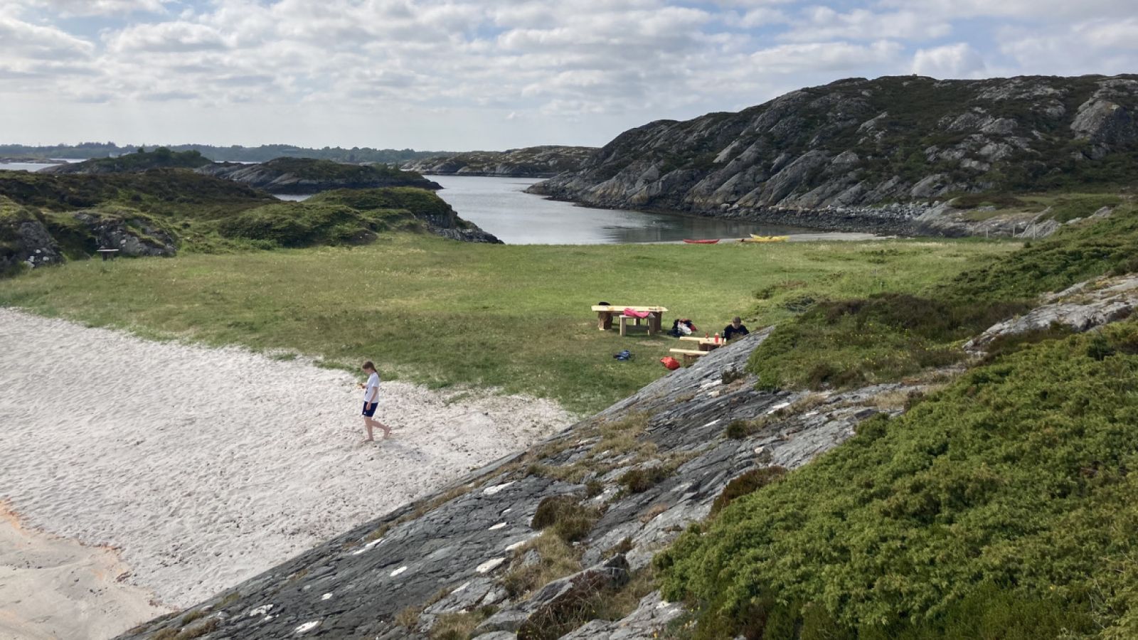
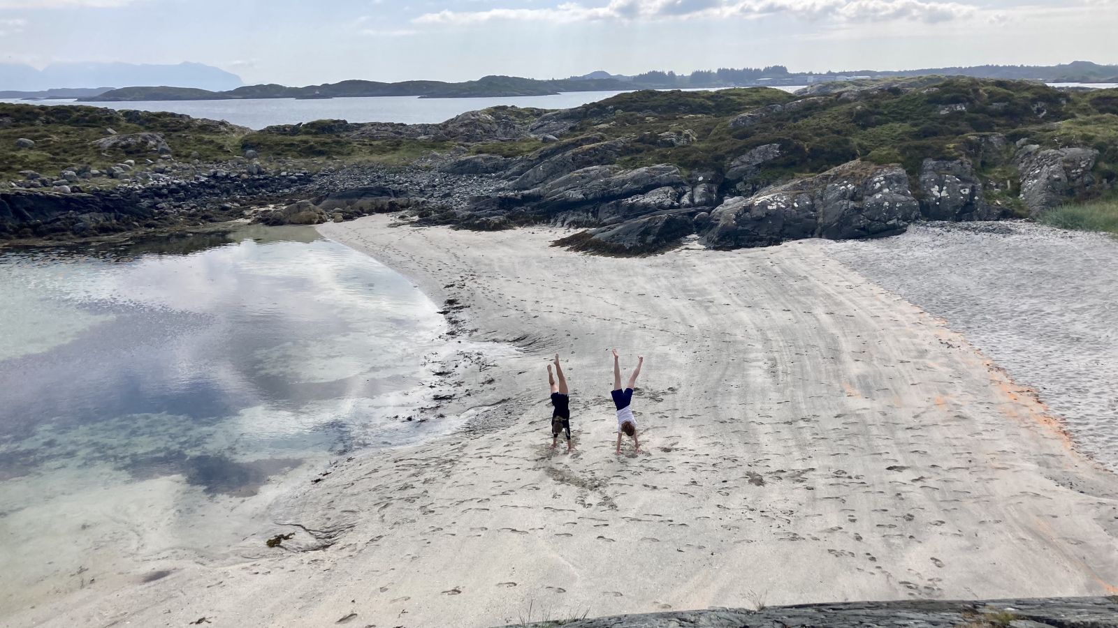
A sheltered route to a fantastic place enjoyed by the locals in Smølvær. A relatively flat and sunny island with grassy fields and several sandy beaches surrounded by rolling hills where sheep graze. A great place to enjoy a swim.
The first part of the route from Nelvika leisure boat harbour to Hellesfjord is fairly easy. In easterly winds, paddlers should be cautious when crossing Hellesfjord, as it is quite open here.
After crossing, the area becomes more sheltered with islands and islets around to the Vikan industrial area. Here there are some larger boats, so be careful. The largest island is Dyrøya (Stordyrøya on some maps) and the beaches are in the bays, as shown on the maps. If you have a tent, a sleeping bag and camping stove, you have the outdoor version of a five-star hotel, completely free of charge.
There are some benches and campfire pit here. Watch out for ticks, as there are sheep on the island.
At the Nelvika leisure boat harbour, you can launch your kayak from the dock or at the boat slip near the parking area. Parking for 24-hours is fine but since there are limited parking spaces, you should avoid parking for several days. The facility has drinking water and a hose for rinsing.
There is a sign for the exit to Nelvika on the main road. Follow the road, cross another road, and after 550 metres, turn right. There are no signs to the leisure boat harbour, but you can see it from the road.
Duration
3 t. 10 min.

Sesong
Spring, Summer, Autumn
There is a bus from Edøya and Hopen, check the Fram app.
Generally sheltered, but somewhat open along Hellesfjord.
 Driving directions
 Route data
GeoJSON