Nekkstadfjord and Sundsfjord
Averøy
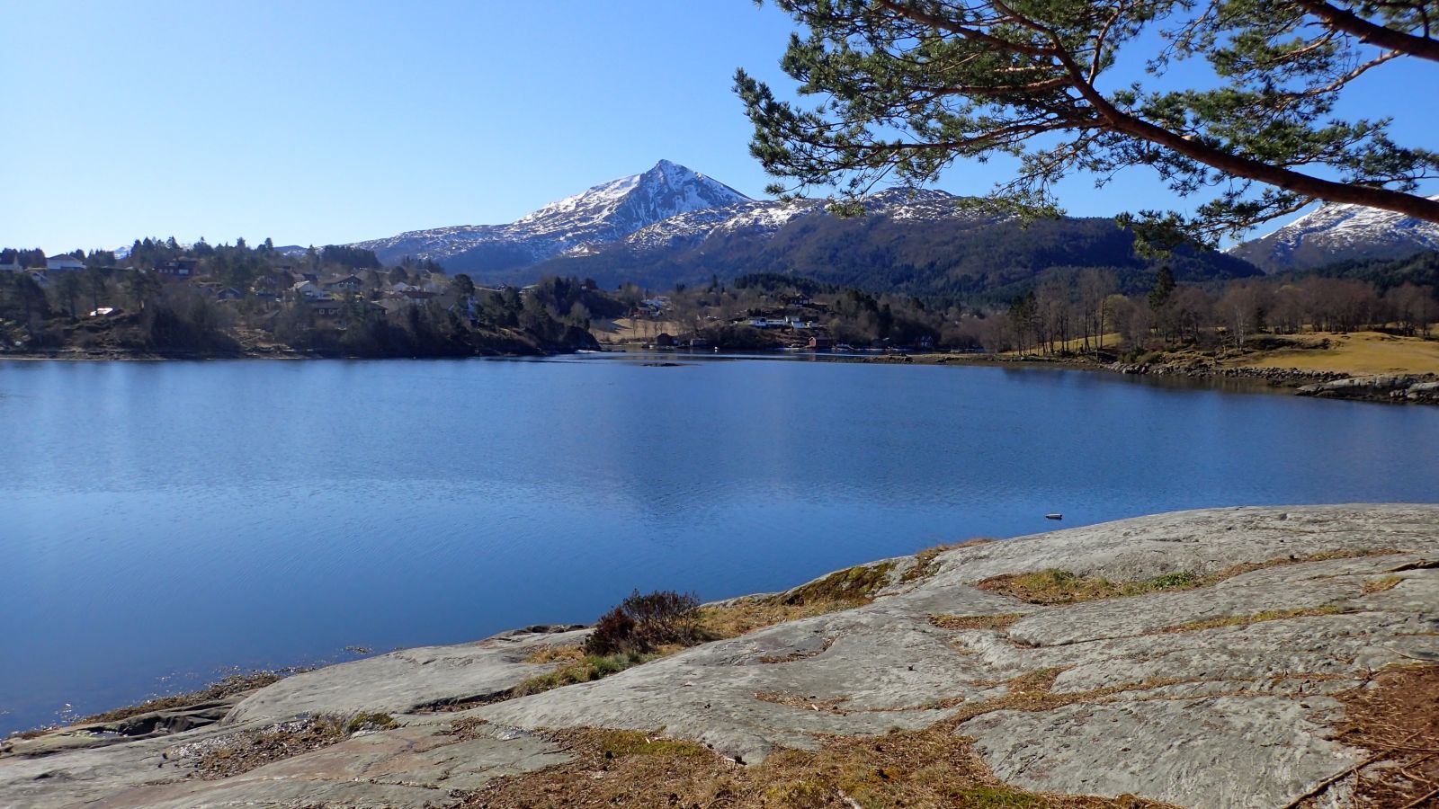
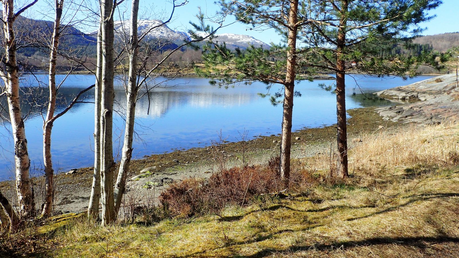
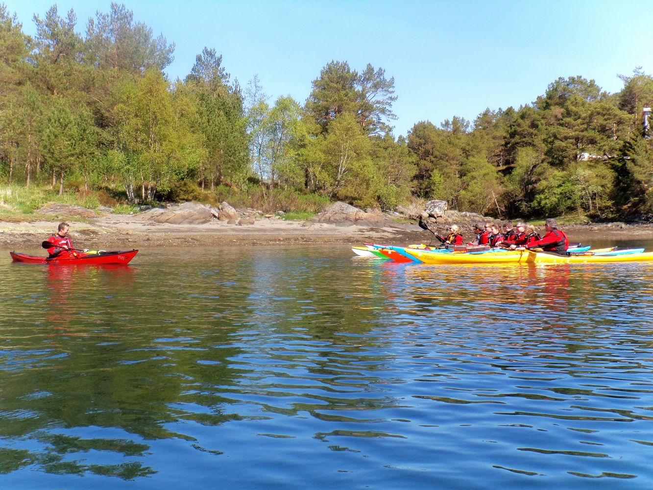
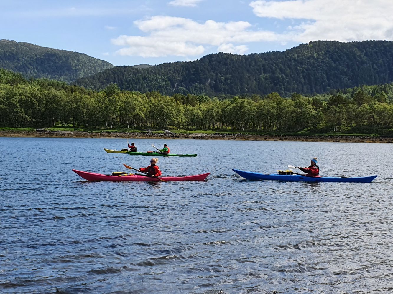
Nekkstadfjorden and Sundsfjorden is quite sheltered against most winds, so this is a great place to take the family on a kayak trip.
The surrounding areas are characterised by agriculture and deciduous forests, with great views of Meekknoken mountain. You can also take a side trip to see the petroglyphs.
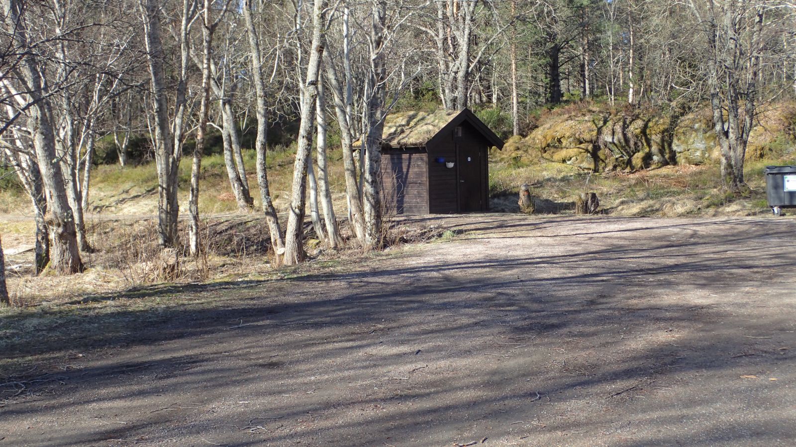
From the parking area, walk about 150 metres along the road that leads to the side of the toilets. This will bring you to a nice lean-to with a campfire pit and lovely views of Meekknoken, which at 751 masl is Averøy's tallest mountain and a popular hiking destination.
The best place to launch is at the swimming beach further down, past the campfire pit, as the water near the parking area is fairly shallow and and the bottom has been dredged. From the beach by the lean-to, you can cross the fjord before paddling north, or you can stop by Ba in the innermost part of the fjord. Ba has a small, but well-stocked Coop supermarket where you can buy something to drink or eat. Further out in the fjord the waters are fairly sheltered from wind but you can choose which side of the fjord to paddle according to the wind.
At Søbstadklubben there are 17 petroglyphs, a form of rock art, on the mountainside at 12.5–16 masl. These depict whales, boats and birds.
In the narrowest parts of the sound on both sides of Tordøya, there may be strong currents at changing tides, so it may be best to paddle as close to land as possible. There is a nice little cove on the west side of Tordøya where you can stop for a break or practice your paddling and rescue techniques. The northwest side of Tordøya is not as sheltered from the wind as it is on the other side, so here you may encounter more waves and wind than on the rest of the route.
This route can be shortened by turning around at any point, and there are many sheltered inlets and coves with places to go ashore.
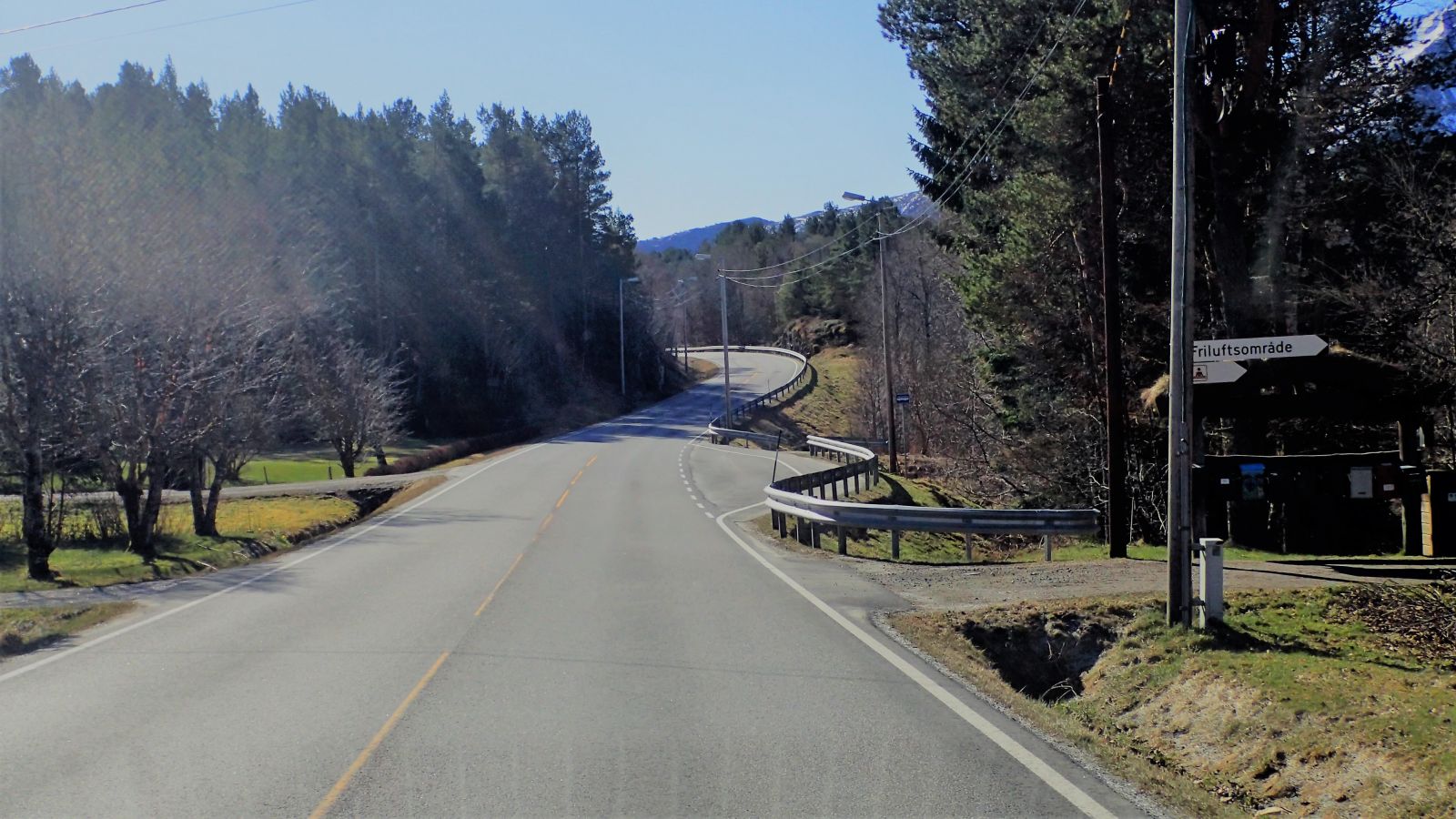
At Vebenstad, there is a sign for the exit to the recreation area on Omfarøya. Here there is public parking for visitors to the area and a large public toilet building open during the summer. This is cleaned by the local health association.
Duration
2 t. 10 min.

Sesong
Spring, Summer, Autumn
Signage
No signage or markings
| Surface type |
Distance |
| Grus |
0,2 |
There is a bus stop on the main road near the entrance to the public recreation area.
There are sheltered waters in the fjord on the inner side Tordøya away from the open sea, but you will notice the wind and weather more on the north side of Tordøya.
At Søbstadklubben there are petroglyphs in the mountainside and it is easy to recognise what many of these depict: whales, boats and birds. But we can only guess what the pictures are about and what rituals took place here. The people living here were hunters, gatherers and fishermen. The pictures carved into the rock are also known as "veideristninger" in Norwegian.
Not far from the petroglyphs at Søbstad you'll find a cairn burial mound and stone circle. These are much younger than the petroglyphs.
 Driving directions
 Route data
GeoJSON