Norsk

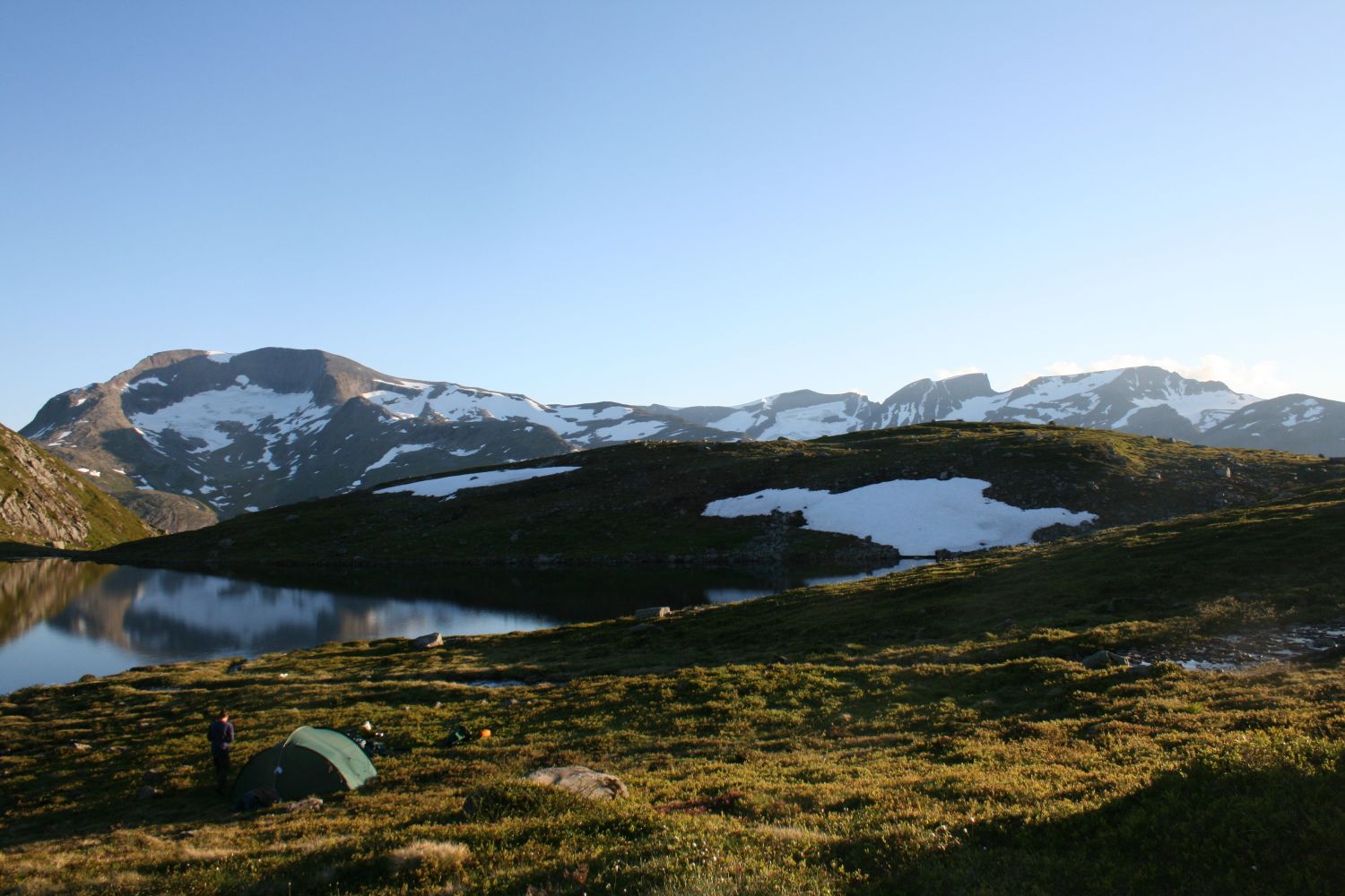
Nedre Vassdalsvatnet

Fjord

The trail at a glance

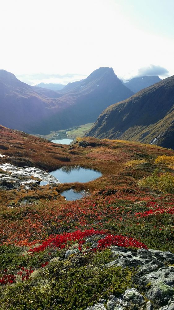
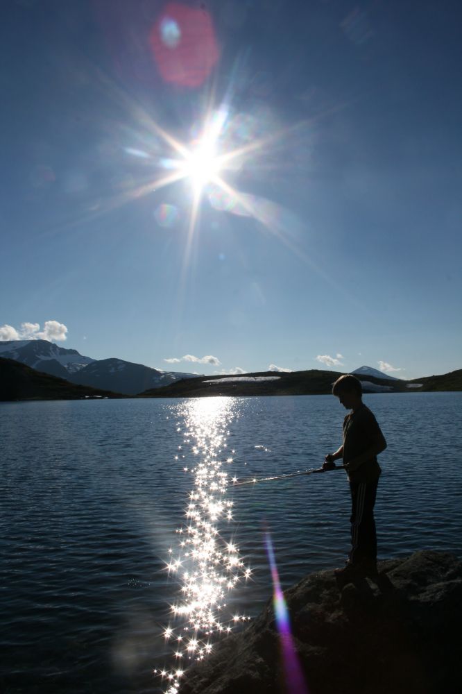
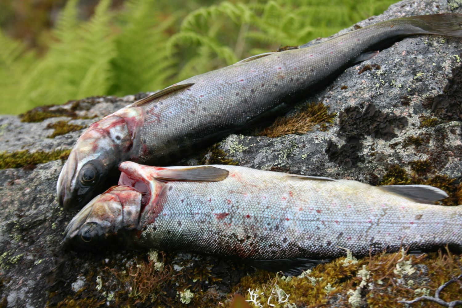
The trail that starts from Lake Herdalsvatnet quickly gives you a great view over the fjords and mountains in several directions. The lakes Vassdalsvatnet are located in Vassdalane. If you have the right fishing equipment, you can go trout fishing here. You can also take a refreshing dip in the lake while enjoying the silence. There are several other great trail opportunities from here as well.The sun shines here until late in the evening both in spring, summer and autumn. The trail is perfect for families with children aged from 5–6 years old.

Route description

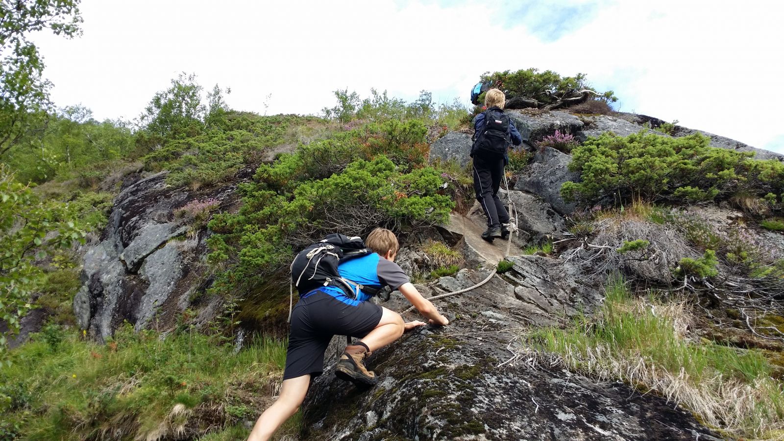
The trail starts before the end of Lake Herdalsvatnet. Park your car by the boathouse and follow the road back until you see a sign and a bridge across the river. Walk over the bridge and continue walking along the river until you reach the lake. A sign by the lake points left, to the north towards the Vassdalane valleys. A short and steep ascent along the path, which can sometimes be quite wet and slippery, will take you up to a flatter area with a nice view over the fjords and mountains. From here, a clear path continues further towards a cleft/a small valley. Once you are above the tree line, you can follow the same road as the one to Kalskaregga for a while, before you turn off in the direction of Vassdalane. The path is marked, but you should stay focused as you walk through the terrain. Follow the river through the final section of the trail up to Lake Nedre Vassdalsvatnet (Lower Vassdalsvatnet).

The route described here is a looped trail to Vassdalane. Other great trails with the same climbing section are Solegga and Kallskaregga. If you want to take a longer hike, Tolleknivsegga would also be a good choice for you. From that top, you can head north towards Mount Kyrkjefjellet and end up by the fjord at Kvernhusneset, across from Fjørå/Vika. The transit trail is described in the book “Opptur Geirangerfjorden” (“Climbing the Geiranger Fjord”). Tolleknivsegga is rather an open mountain edge, so for those who want to climb it, the top can also be reached from the north side without going through the most open mountain area.

Access and parking

After about 2.5 km from the village of Norddal, you will see a sign pointing to Herdal. Follow this sign. You can pay a toll fee at the boom gate if you do not want to walk for 7–8 km up to Lake Herdalsvatnet. You can park your car by the northern end of Lake Herdalsvatnet.

There are several parking spaces next to the boathouse in the northern end of Lake Herdalsvatnet.
Hiking route
Blue
Distance
2,93 km one way
Elevation
545 m
Duration
2 t. 50 min.
Sesong
Summer, Autumn
Highest Point
1012 masl
Signage
Both signed and marked
Mobile coverage

Map route

Surface type Distance
Sti 2,5

Public transport

During summer, it is possible to take a bus to Norddal from both the north and the south, but the bus connection is rare. Please check http://www.frammr.no/. There is no public transport that can take you to the car park in Herdalsosen, but it is possible to walk from the fjord in Norddal following the asphalt road for 2.5 km and then the gravel road for about 5 km until you reach Herdalsosen (about 500 altitude metres).

Other

The road from Norddal to Herdalsosen is a toll road with a fee of 50 NOK (2017). The area is very popular among hunters throughout the autumn, so hikers need to be aware of that.

Map

Tafjord Sheet 1319 III, Norddal municipality tourist map The trail is described in the book “Opptur Geirangerfjorden” (“Climbing the Geiranger Fjord”), see route 3-22.

Link to route description

De finn mykje informasjon om natur- og kulturverdiar i området på http://kart.naturbase.no
Driving directions

API endpoints

Route data GeoJSON