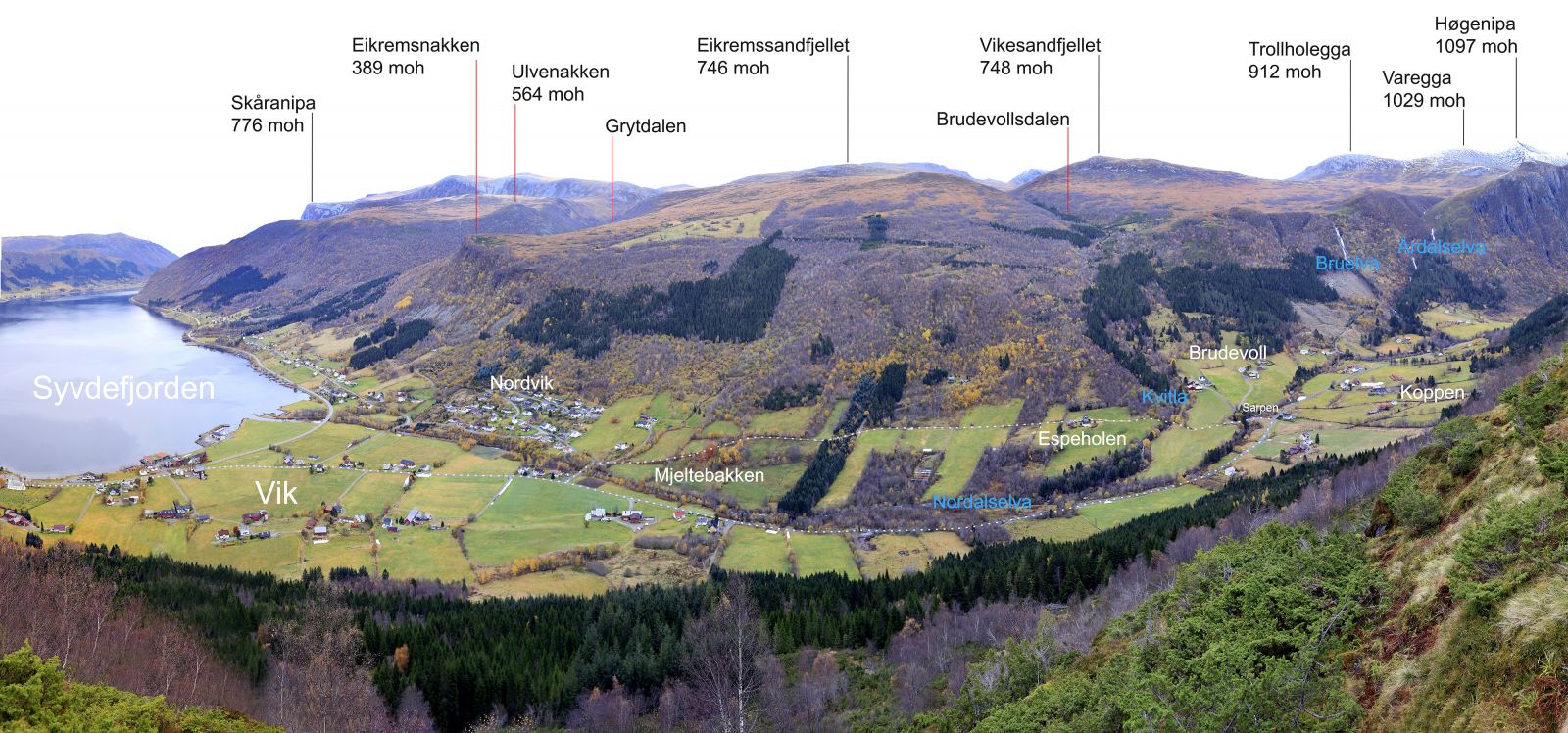
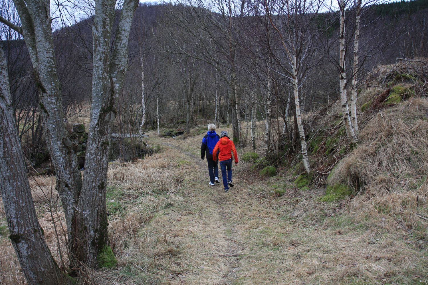
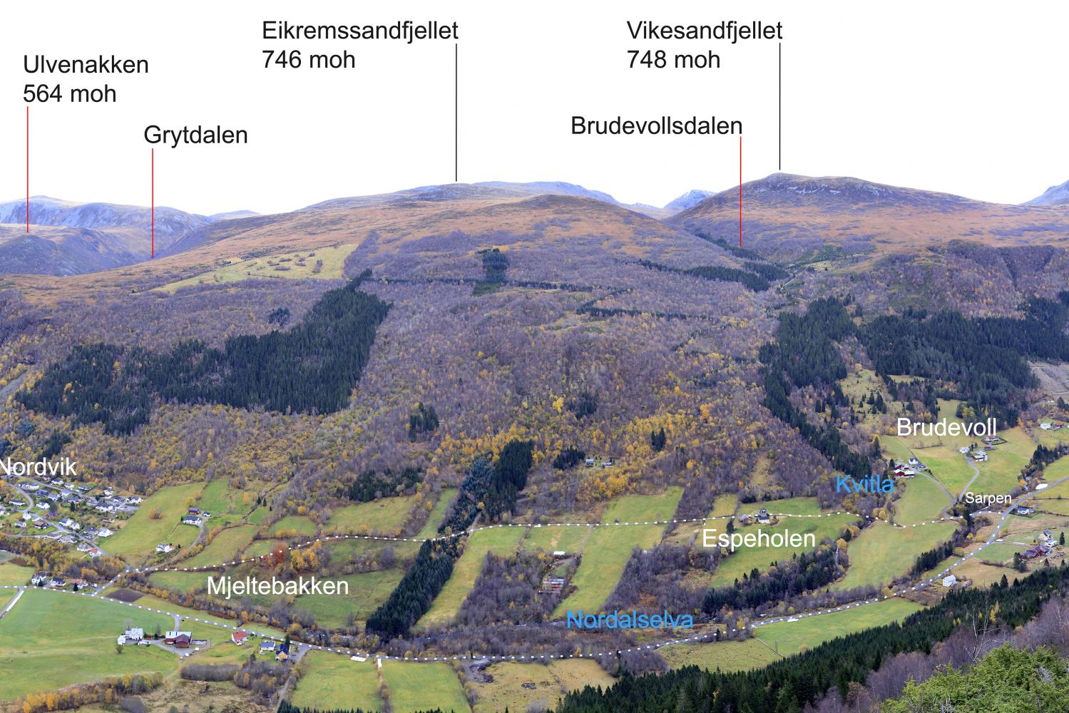
This easy trail through a cultural landscape takes you to a gorge called Sarpen. The trail primarily follows footpaths or roads with very little traffic. The route was registered as a Stikk UT winter hiking trail in the winter of 2020–2021 with a trail postbox by the bridge over the river Kvitla.
Route description
You will see a sign for Nordal 300 metres after the church if you walk in the direction of Volda. Go towards Nordalen and turn left over the bridge at the second junction after you have turned off the national road by the sea. Turn right just after the bridge and walk relatively parallel to the river in the direction of the Nordalen Valley. At the end of the road, there will be a short section where you follow a path. The path changes back to the road soon, and this is when you reach the bridge over Sarpen, a gorge formed by the river at the end of the ice age some 10–12 thousand years ago. The view is spectacular during the periods of high water. You can also see the stone walls of a mill on the lower side of the bridge.
Access and parking
The trail described here has a starting point at Syvde Church. There is usually available parking space closer to Sarpen too.

 Driving directions
 Route data