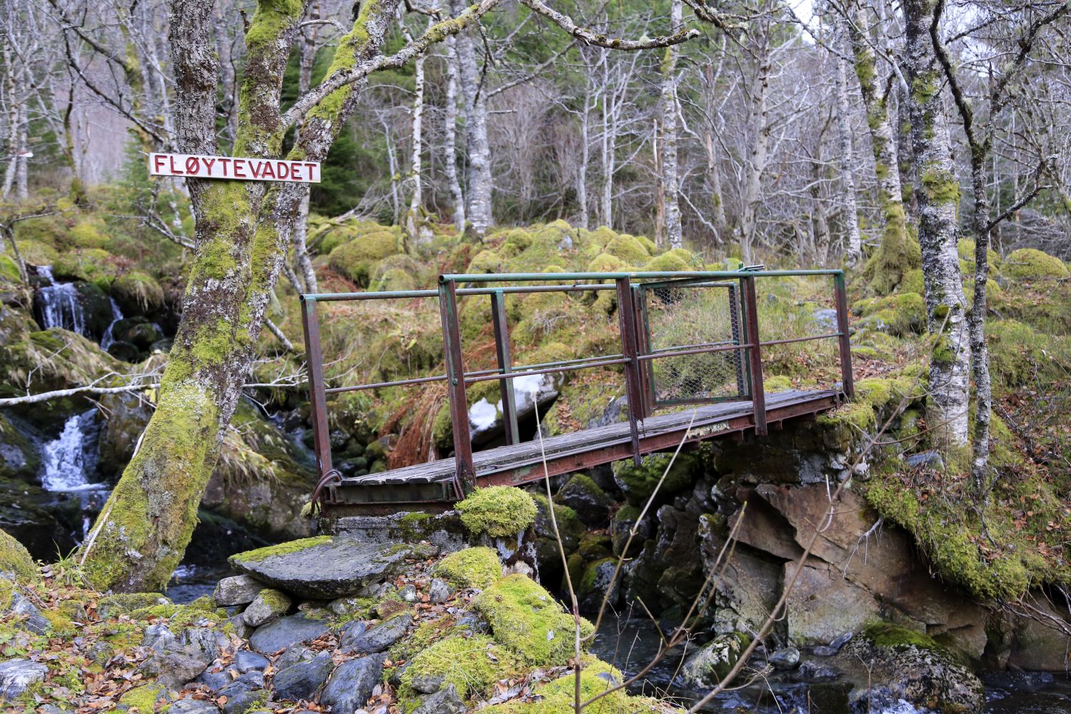
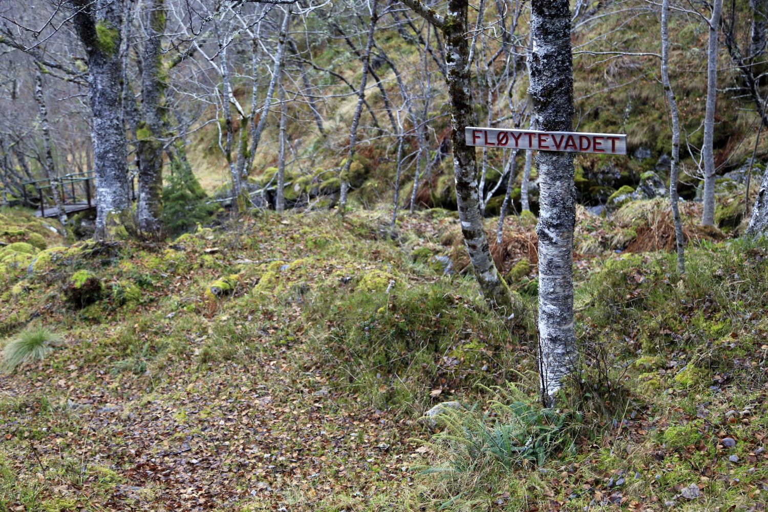
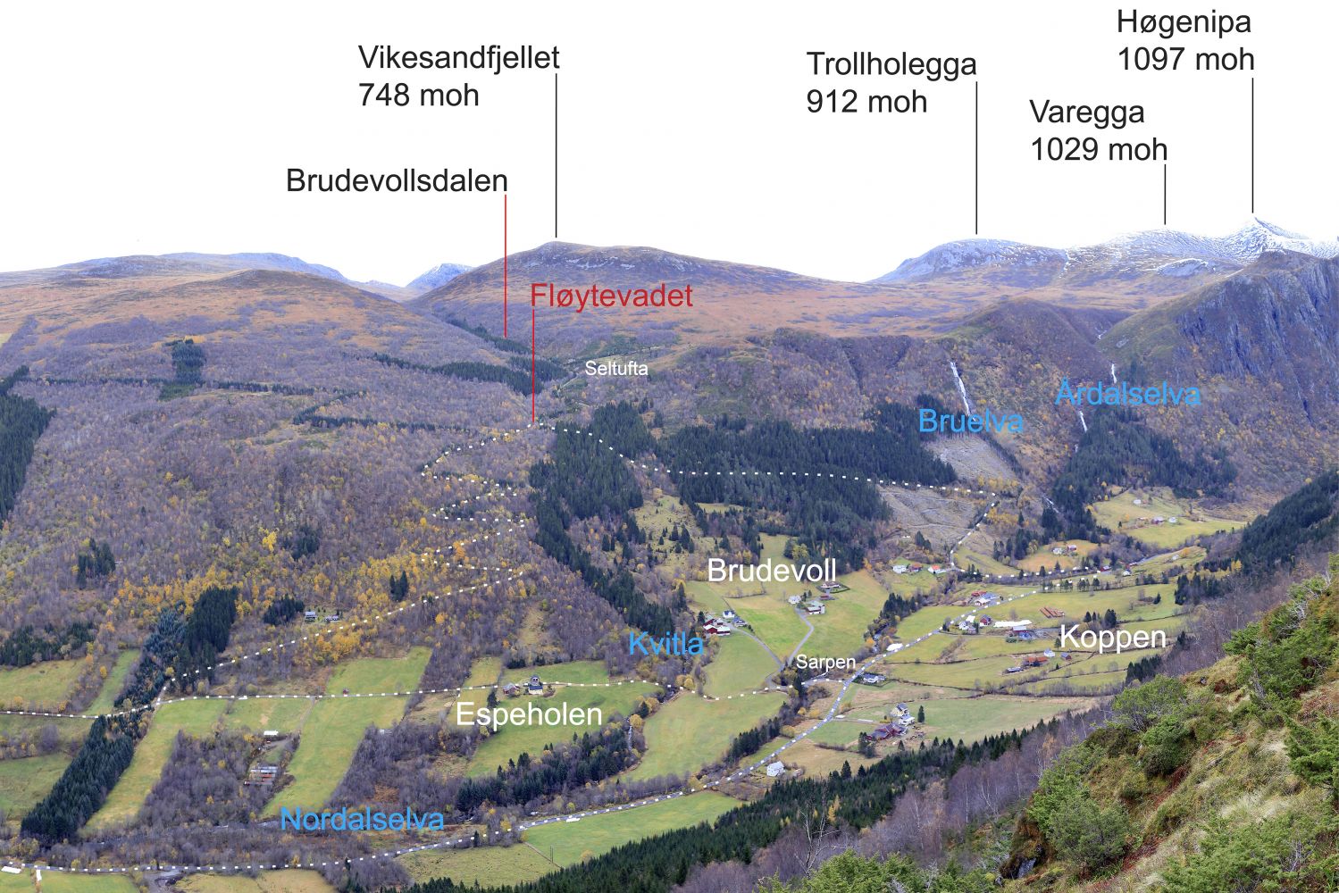
This fitness trail is a proper uphill climb which you can access via two different mountain roads. You can easily follow one of the roads up and the other one down. The name “Fløytevadet” comes from the time when local farmers carried milk from the mountain farm down to the village. When they crossed the river on their way, part of the cream (Nor. fløte) on top of a bucket could accidentally end up in the river. There is a Stikk UT winter trail post by the bridge.
Route description
To get to one of the starting points, drive from Syvde in the direction of Nordalen. You will see the sign for Nordal 300 metres northwest of the church in Syvde.
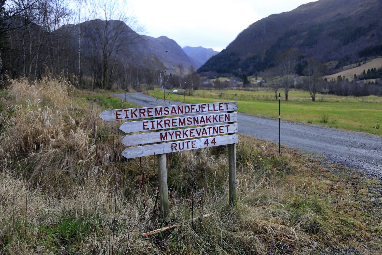
To get to the starting point that is closest to the fjord, turn right and drive over the bridge 600 metres after turning off the main road. Turn right just after the bridge and drive for about 400 metres until you come to a junction with a sign pointing to Eikremsnakken and other destinations. At the 7th hairpin bend of that road, you will see a sign for Fløytevadet.
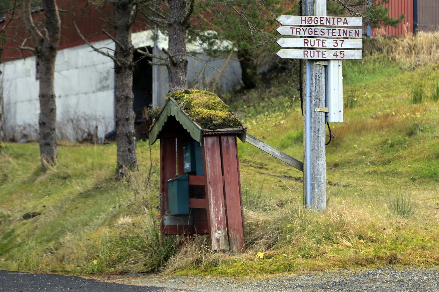
To get to the starting point furthest from the fjord, drive for about 2 km in the direction of Nordalen. Turn off the main road at the junction where there is a sign pointing to Høgenipa and other destinations. Turn left and drive over the bridge. Park your car just after the bridge. Walk 200 metres from the car park until you come to another junction with a sign for Høgenipa and other destinations. This is the start of a relatively steep mountain road. You will reach the only bridge on this ascent after about 1 km. 100 metres after the bridge, there is a clearing in the forest on the left side of the road where you will see a sign for Fløytevadet.
Access and parking
It is easy to park your car by the sign for the toll road at the starting point of the trail that is furthest from the fjord.

 Driving directions
 Route data