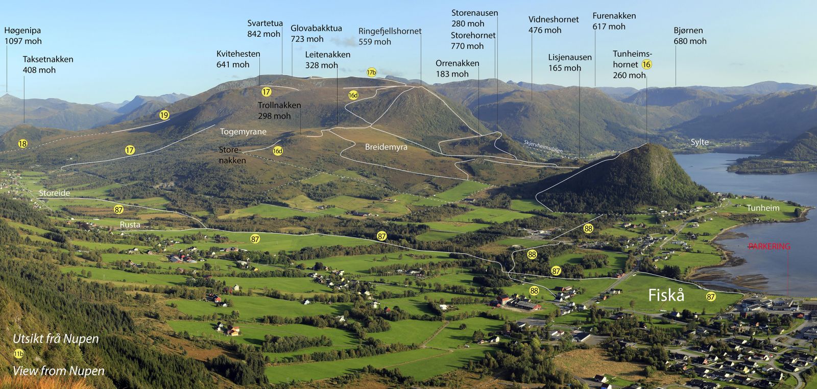
This trail starts from the centre of Fiskå and after a short section along the shore follows the course of the Fiskåelva River. You will walk on varied surfaces. Please avoid damaging the fields you pass on this route.
Route description
The starting point of the trail is by the shore near the cultivated field below the nursing home. Follow the shoreline until you meet the river. Cross the main road and continue along the river. You will walk on the same side of the river the entire time. This route is marked with number 87 on the aerial photo.
Access and parking
The most convenient car park is by the nursing home or Combisenteret.

 Driving directions
 Route data