Myrkevasstinden, route 49 C – from Kvanndalen to Myrkevasstinden
Vanylven
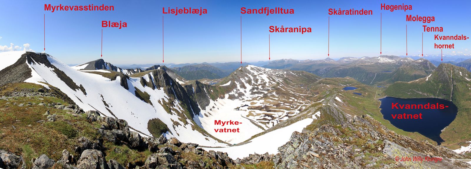
If you want to get to the second highest mountain in Vanylven Municipality fast and easily, this route is right for you. Almost the entire trail from Kvanndalen to Myrkevasstinden runs along mountain ridges and edges, which makes for a beautiful view the entire time. This is also why the surface you will walk on is dry and solid all the way up to Myrkevasstinden at 1131 m a.s.l. even in wet weather. The view gets wider and better the higher up you go, and once you reach the top, you will see the ocean in the west, the Sunnmørsalpane mountain range in the northeast, and large parts of the mountains of Nordfjord in the south and southeast. Myrkevasstinden is also a good starting point for the hikes further to Blæja (1142 m a.s.l.) or Sandfjelltua (1002 m a.s.l.). The starting point of this trail lies at 530 m a.s.l., which is above the tree line, so you do not have to walk through the thicket or other vegetation. The mountaintop is referred to as Blæjeskardtinden on some maps. Just before you reach the top, you can take a detour to the east and enjoy the view from Kvanndalstinden, the eastern point of this mountain area.
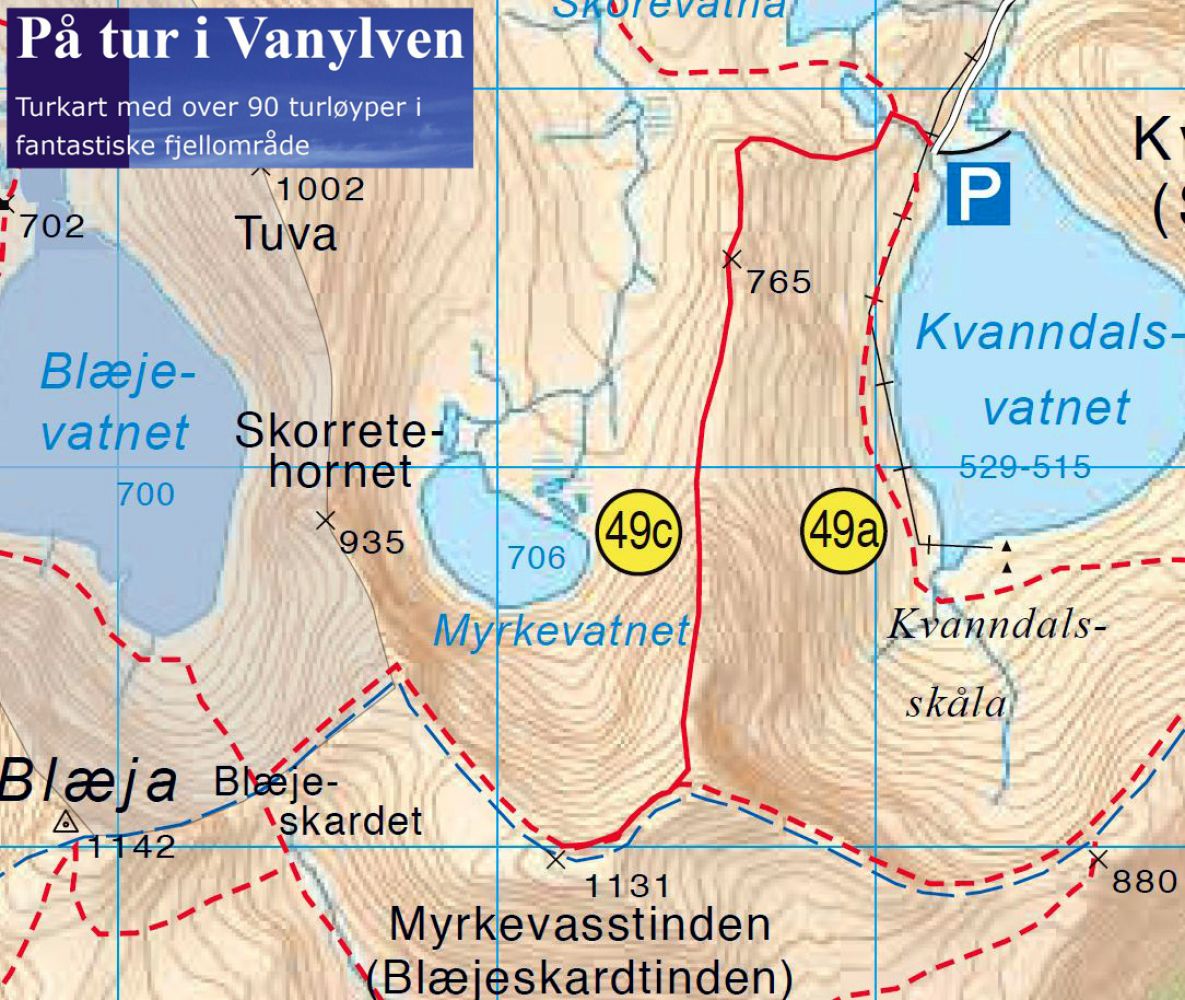
The starting point of the trail is signposted and so is the intersection of paths at the top of the first uphill climb. The entire trail is marked. As seen from the dam in Kvanndalen, parts of the route may look a bit scary, but the path is well located within the terrain and easy to follow.
Drive from Syvde to Nordalen to get to the starting point of the trail in Kvanndalen. You will see the sign for Nordal 300 metres northwest of the church in Syvde. Drive along the Nordalen Valley until it ends. Then drive along the mountain road that begins at the end of the valley until the road ends by the dam at the Kvanndalen power station. There is plenty of parking space at the car park next to the dam in Kvanndalen. The mountain road is free of charge.
Duration
3 t. 10 min.

Signage
Both signed and marked
| Surface type |
Distance |
| Sti |
6 |
Hiking map: På tur i Vanylven (Eng. Hiking in Vanylven) – can be purchased at local shops and petrol stations in Vanylven Municipality.
 Driving directions
 Route data
GeoJSON