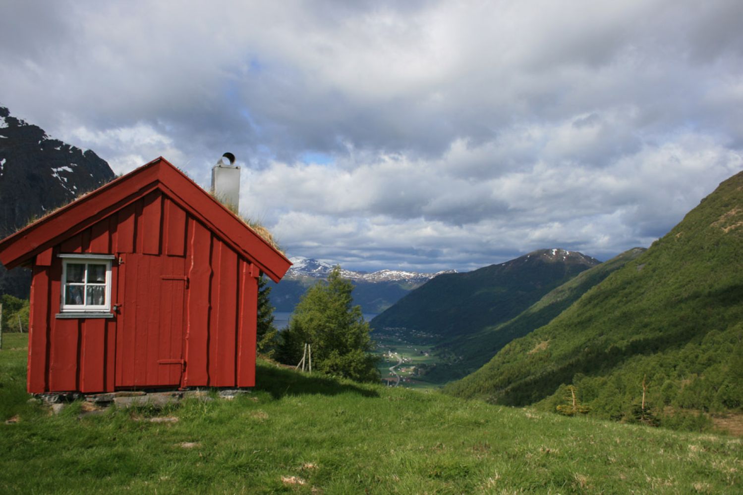
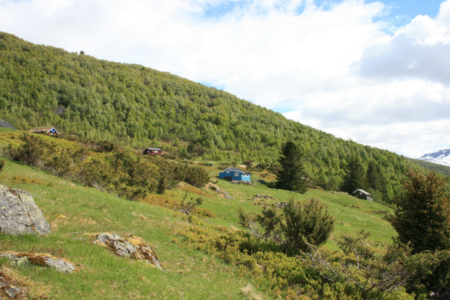
This lovely trail will take you to a summer mountain farm with many old farmhouses. Once you reach the trail destination, you will get a beautiful view over Stordal.
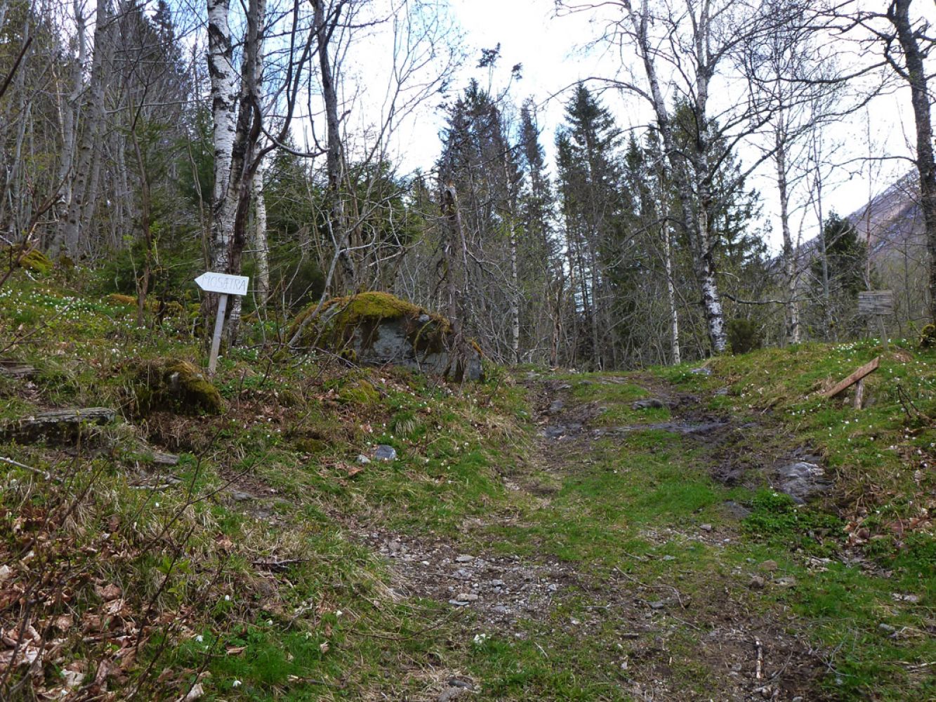
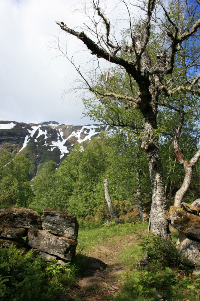
The trail starts along a tractor road. You can either continue following the tractor road or turn off to the left onto a path. The trail covers the areas of broad-leaf forest and some coniferous forest.
From Mosætra, you can continue walking to the mountains Mohornet and Storheimshornet. It is also possible to walk to Jasvolbotnen.
Start walking from the chapel in Mo. Walk across the road past a red barn and onto a tractor road.
You can park your car next to the Mo chapel.
Duration
1 t. 45 min.

| Surface type |
Distance |
| Sti |
2,6 |
There is a bus connection between Ålesund and Valldal. Please check frammr.no
Ørskogfjellet tourist map
 Driving directions
 Route data
GeoJSON