Middagshesten from Rellingsetra
Fjord
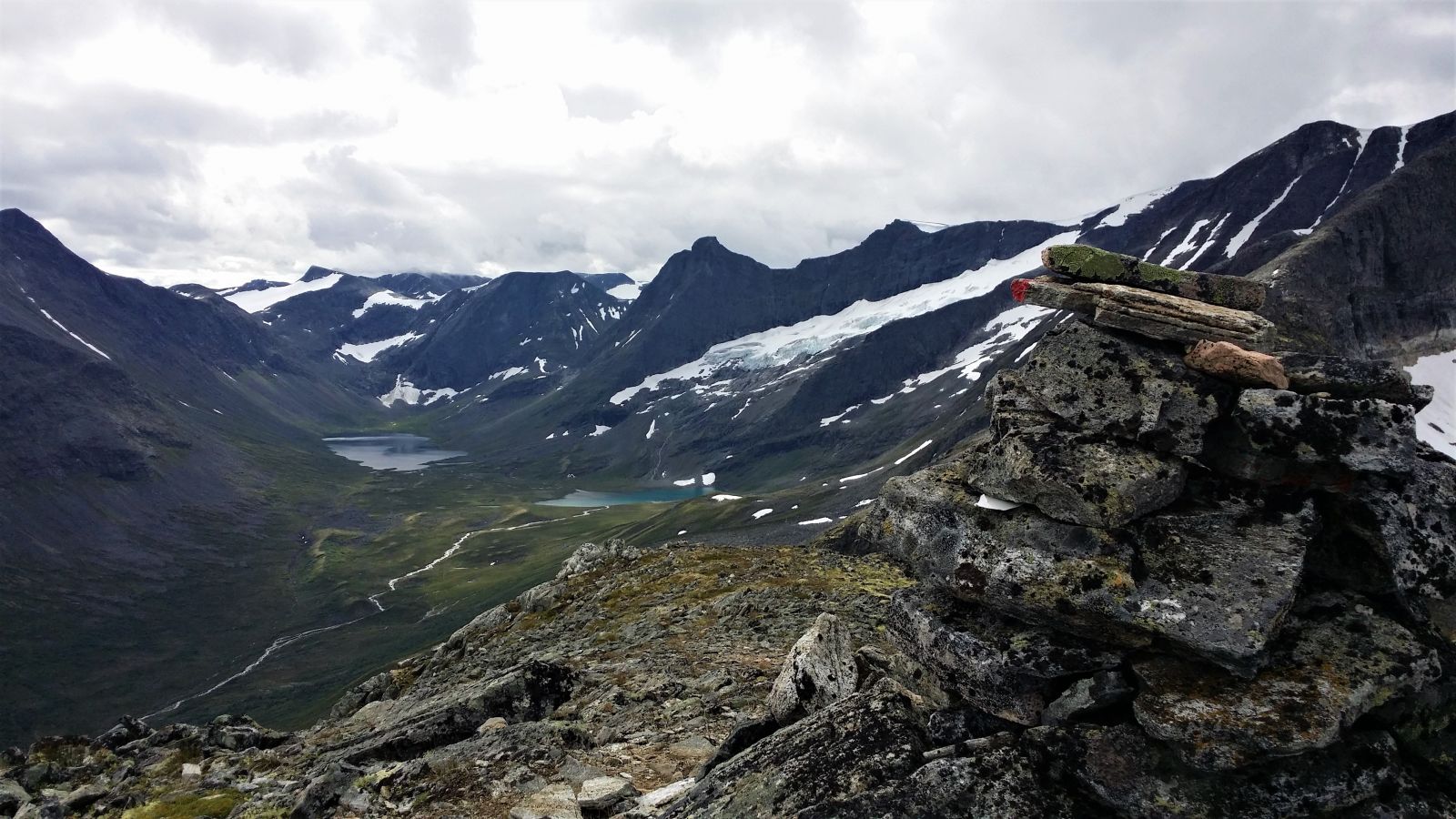
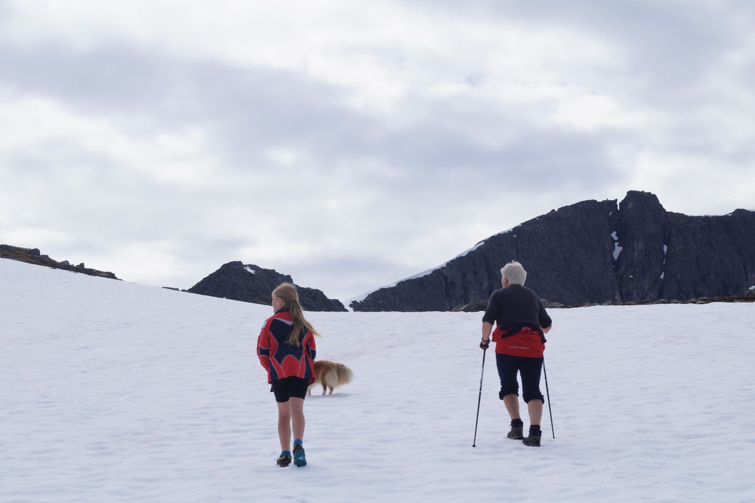
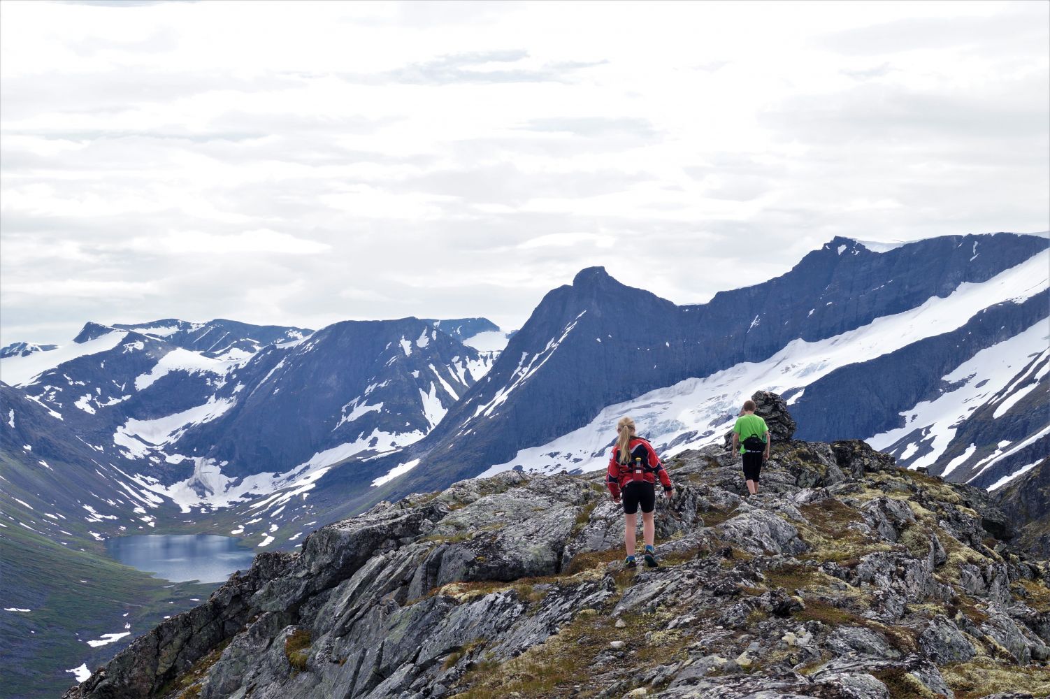
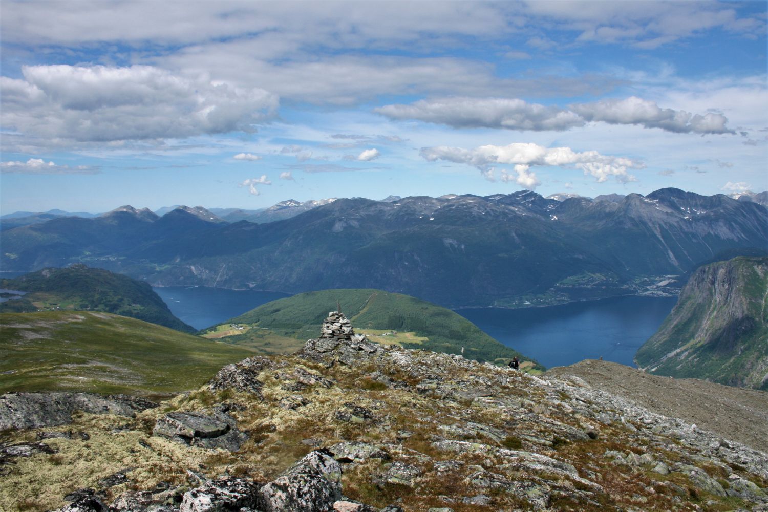
The trail to Mount Middagshesten involves a good deal of climbing which will soon reward you with a beautiful view in several directions. The view from the mountaintop stretches to Norddalsfjorden, the Dyrdalen Valley with amazing mountain lakes and the mountains Torvløysa, Storvasshornet, and Skorene. This trail is suitable for children from 7 years old who are used to mountain hiking.
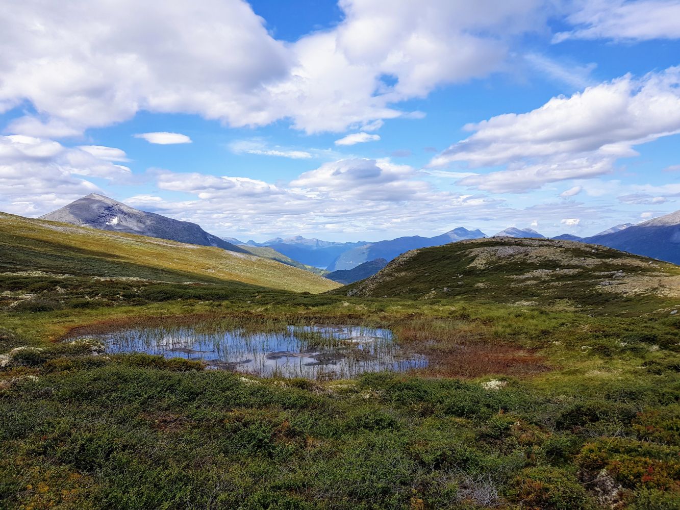
From the car park in Rellingsetra, first walk over the mountain pasture and pass between the upper houses at the farm before following the farm road for a short while. You will see a ski lodge up on Selhaugen Hill and turn up to the left near a small river. Climb up the old slalom slope. The path is marked with red “V” letters further up. After you ascend the slalom slope, the path will flatten out slightly before it starts climbing uphill again in the direction of Kvithaugen. Walk further along the valley between the mountaintops Nonshaugen and Middagshesten. You will see a sign that points to Middagshesten at the height of 940 m above sea level. Here, you need to do a more strenuous climb and walk past some large rocks before you come up the flat area that leads you to the foot of Mount Middagshesten. Keep an eye on the red “V” letters as you walk further across this rocky area. The final steepest climb starts roughly halfway through the ridge of the mountain. This section begins with a small scree area and continues up quite steeply. Watch out for loose stones. You will come up to the mountain ridge itself only a small distance away from the cairn on Mount Middagshesten. Notice the place where you come up so that you can find the right way back down. Follow the same path on your way back. Alternatively, you can return to the starting point by following the mountain ridge in the direction of Lake Storvatnet. You will then come down to some small lakes before you can find the uppermost path that leads down to Rellingsetra. This path is currently not marked or prepared, so we recommend joining someone who is familiar with the area.
Drive in the direction of Norddal for about 5 km from the ferry terminal in Eidsdal. Take the right turn into the village by the convenience store and drive for about 2 km before turning right over a bridge. The road continues up to Hatlestad with no other junctions. You will pass the waterfall Dyrdalsfossen on your way. Drive over the car park in Hatlestad, pay a toll fee and follow the private gravel road for about 3 km until you reach Rellingsetra. There is limited space at the car park so please share a car with other hikers, if possible.
Duration
3 t.

Signage
Both signed and marked
| Surface type |
Distance |
| Sti |
3,6 |
There is usually no access to public transport in the area. There is a school bus service to and from Hatlestad during the school year.
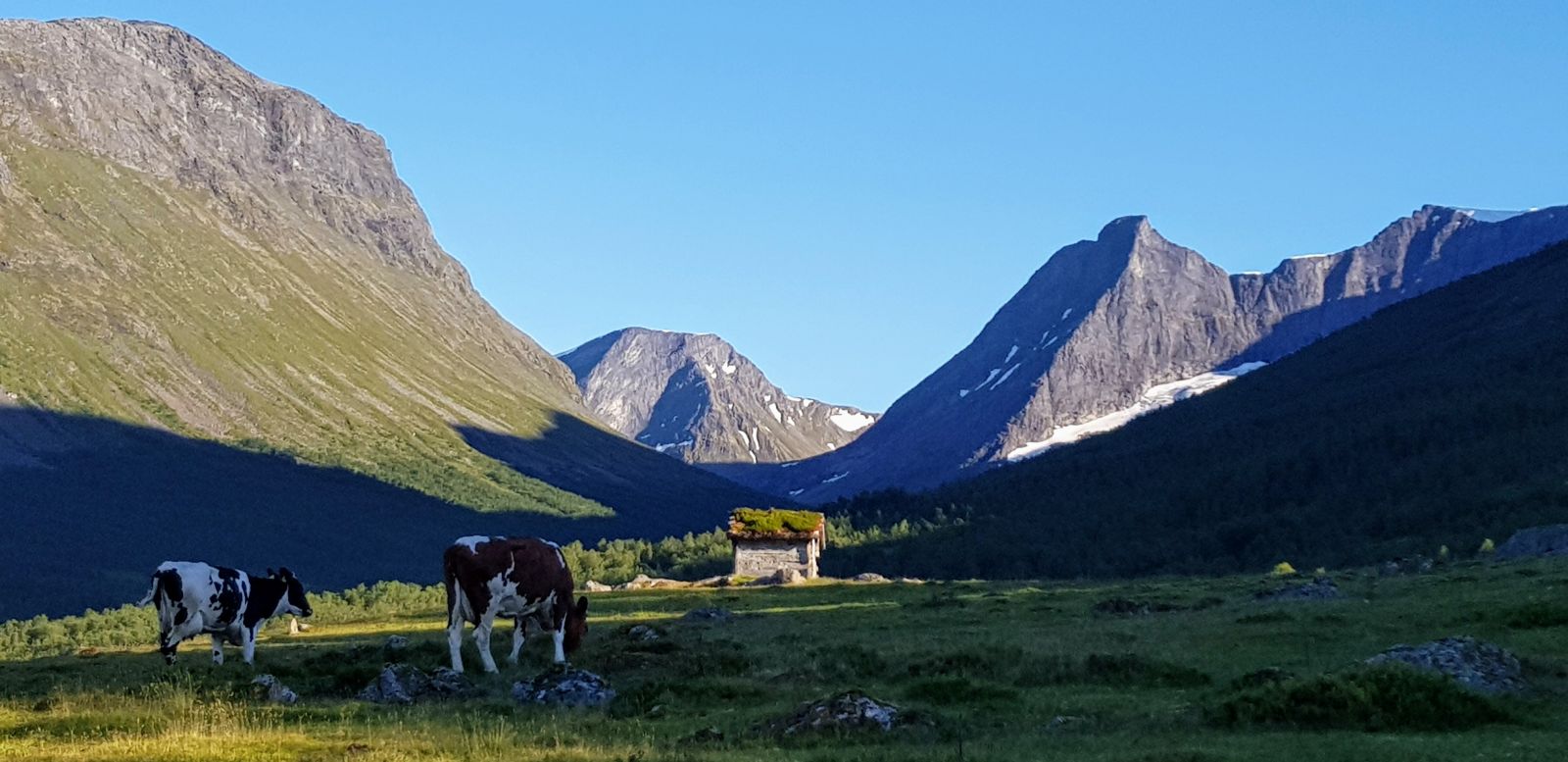
The ski lodge at the Rellingsetra mountain farm is a living cultural heritage. A part of it is an old house which was moved from the village up to the farm and used as a meeting point for skiing and outdoor enthusiasts in the 50s. Is still widely used as a meeting point today, especially in winter. You will also find a simple outside toilet near the ski lodge. The ski lodge can also be booked for accommodation. Please contact the Norddal Sports Association, for instance, through their Facebook page. Rellingsetra is a great starting point for many scenic hiking trails in the area.
Norddal tourist map 1:50 000, Tafjordfjella 1:50 000
 Driving directions
 Route data
GeoJSON