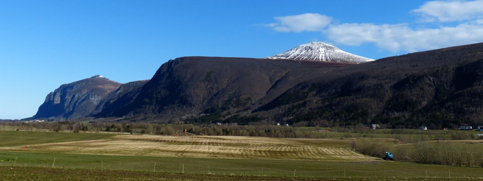
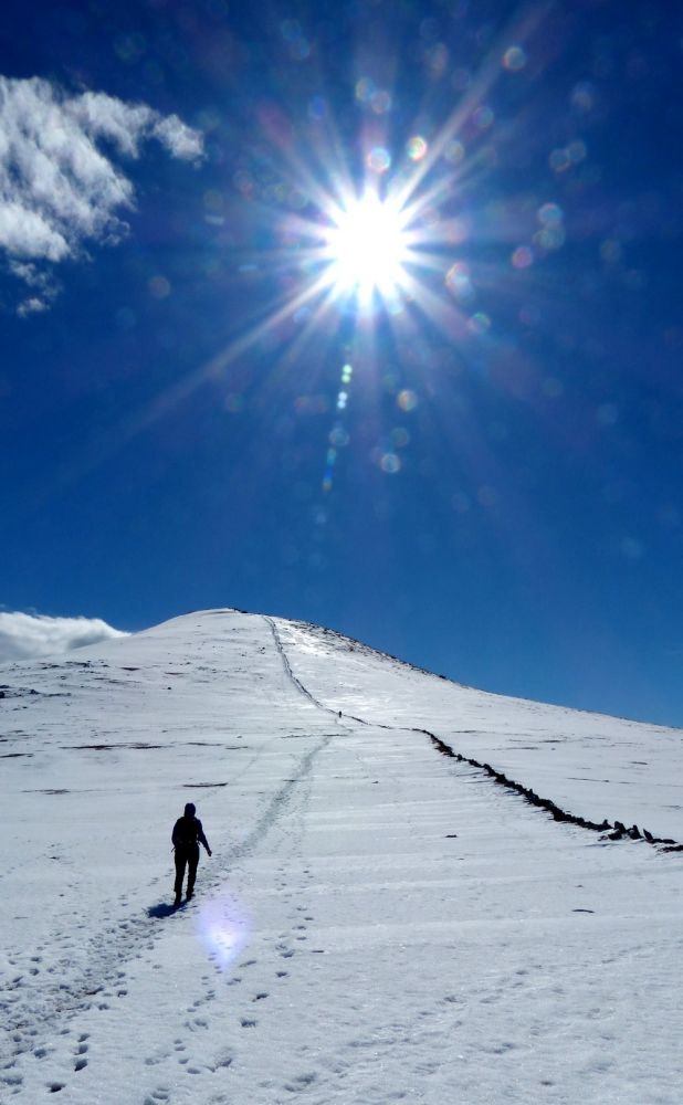
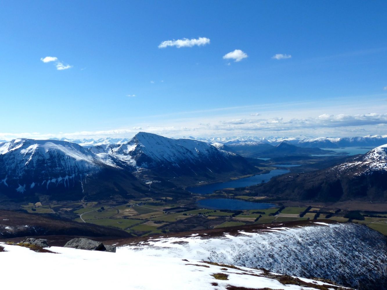
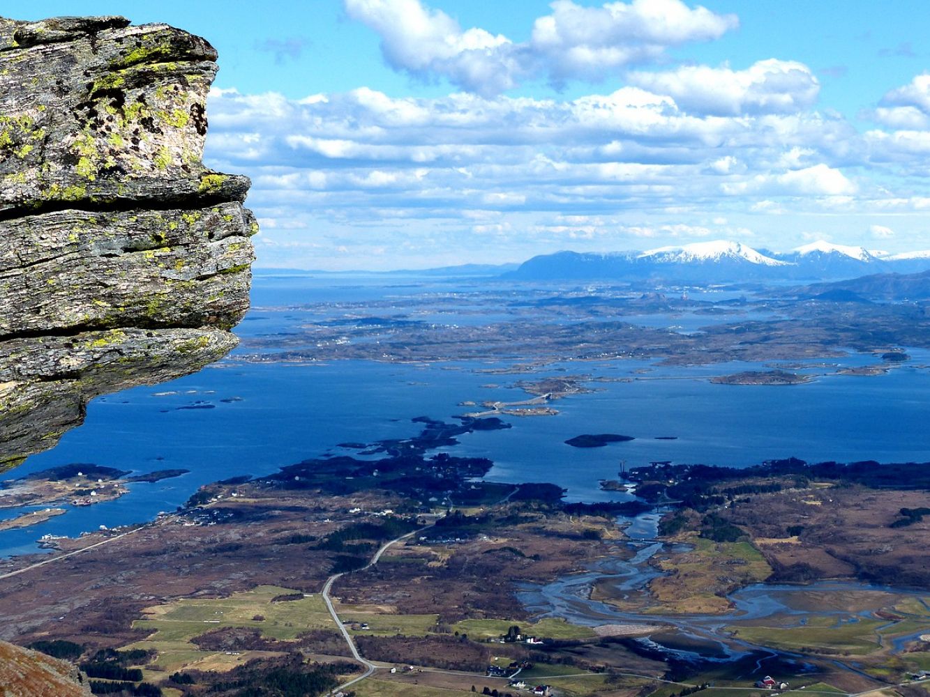
Follow the tractor road from the shooting range in Skotten until you come up to Lake Skottenvatnet. From there, follow a fairly good-quality path that runs to the left and walk over Kyrhaugen Hill with a view straight down to Lake Skotttenvatnet on your right-hand side. You will also see Lake Skavatnet on your left. This open section of the trail follows a good-quality path, and you can choose to walk either along the edge or slightly further down the hillside. Once you come up, you can decide for yourself which peak you want to climb first. We chose Melen and then walked over to Sjurvarden. The Olavsbu cabin lies further down the hillside between the two peaks and is worth a visit. It normally takes about half an hour to get to Lake Skottenvatnet, an hour and a half from there to Melen, an hour and a half from Melen to Sjurvarden, and another hour and a half to return to the starting point of the hike. Of course, this varies from person to person. Panoramic view from Melen:
http://360.io/uuVyk3 Panoramic view from Sjurvarden:
http://360.io/Tp2Mqd
 Driving directions
 Route data