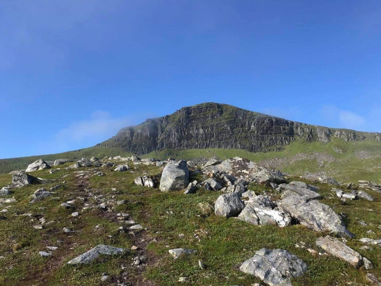
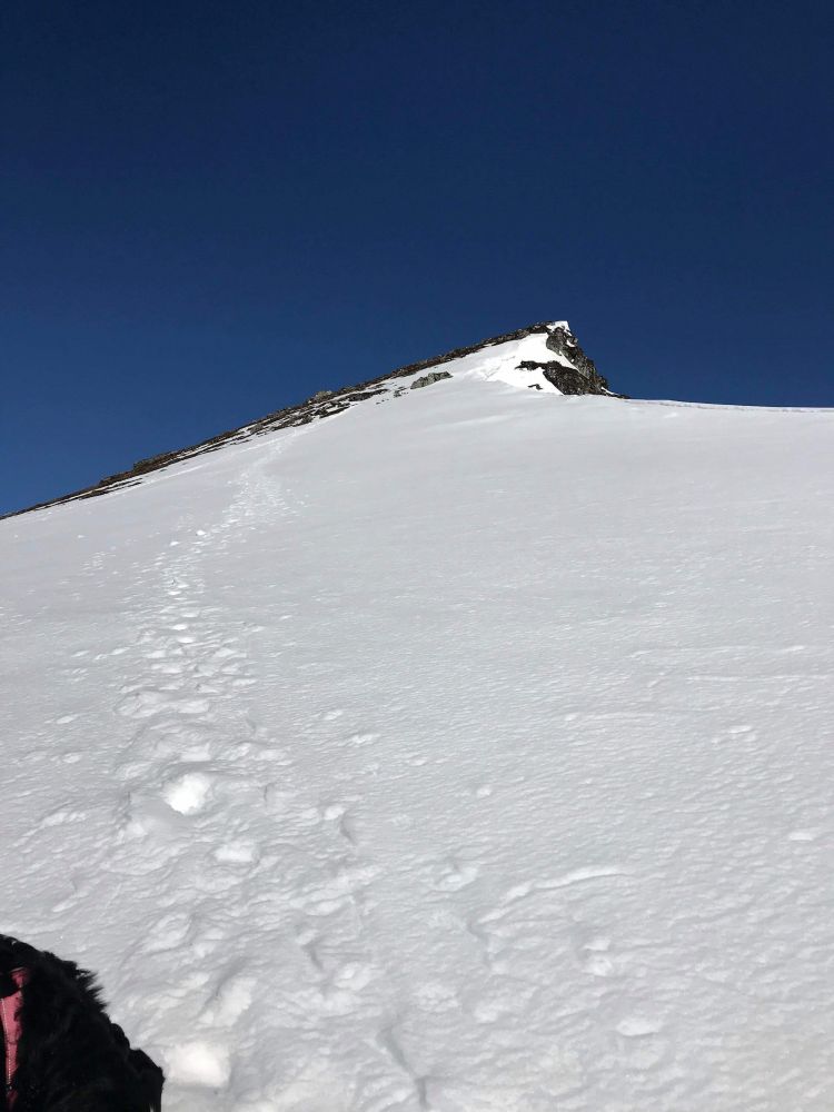
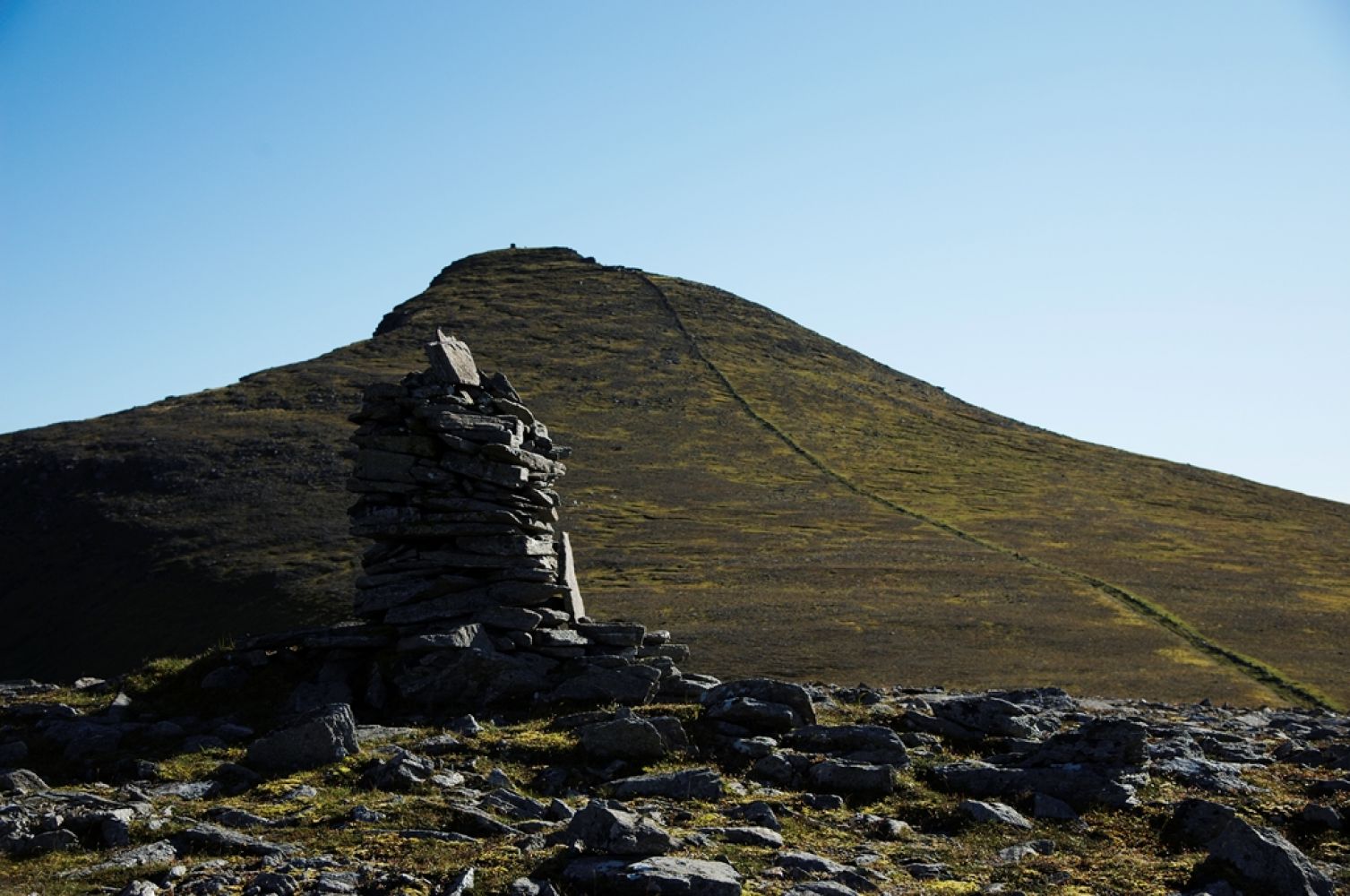
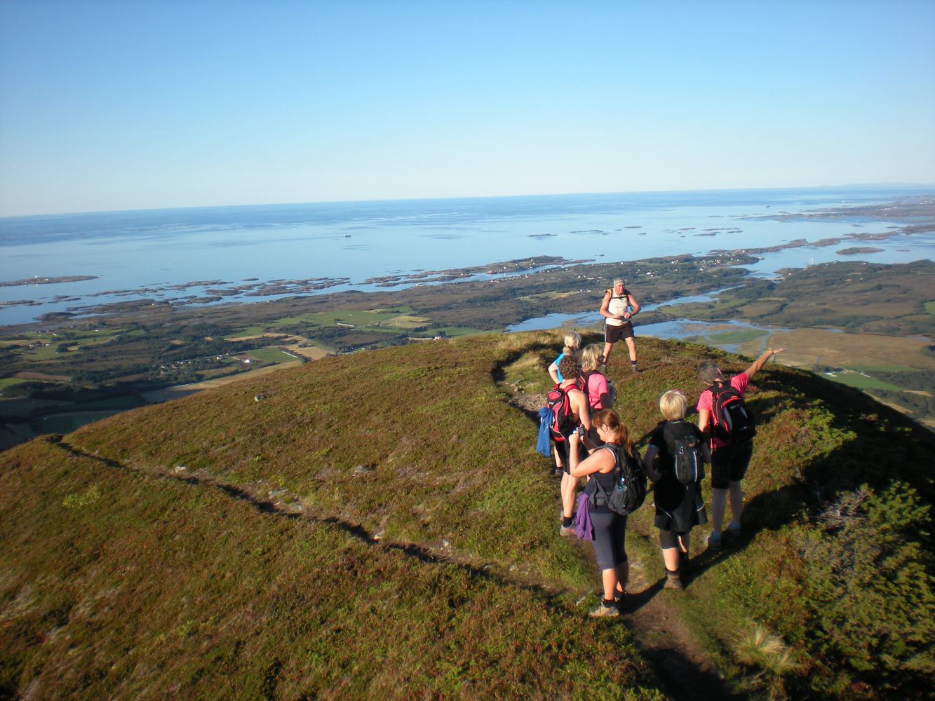
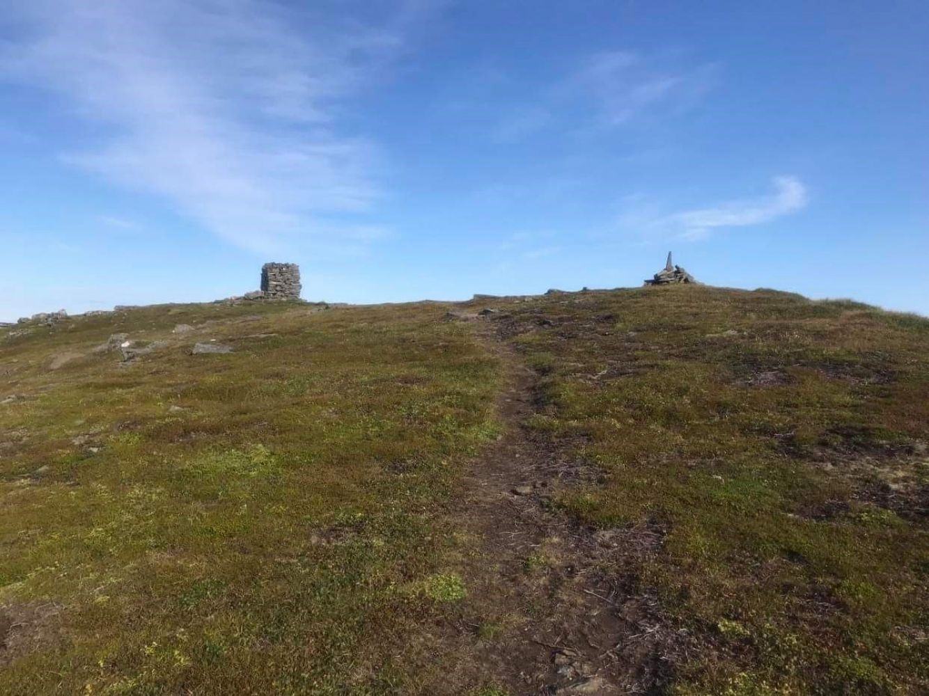
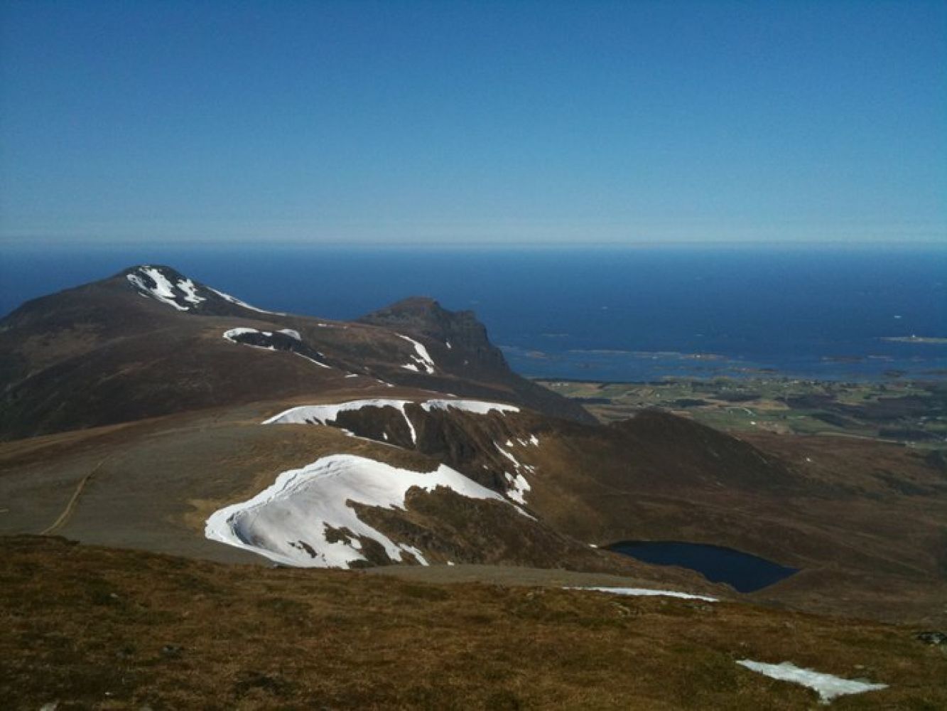
This is one of the greatest hiking experiences you can get in outer Nordmøre/Romsdal. Mount Melen is beautiful, and the view from the top is both dramatic and spectacular. The peak is bear mountain with the highest point reaching 769 m a.s.l. There is a small stone cabin by Lake Melvatnet which is open for everyone. Further down the mountain are wooded slopes.Click here to learn about biological diversity: http://dnweb12.dirnat.no/nbinnsyn/asp/faktaark.asp?iid=BN00045836Click here to learn about biological diversity of Gådalsvatnet: http://dnweb12.dirnat.no/nbinnsyn/asp/faktaark.asp?iid=BN00024722
Route description
You are standing in front of Lake Gådalsvannet. The lake offers great fishing opportunities.A bridge will take you across the river running off Gådalsvatnet. The new path is well marked and easy to follow as it was built in Autumn 2010. Start walking up the ridge. After having walked up for a while you will see Lake Melvatnet on your right. At this point you can choose if you want to take a walk down to Melvassbu, a small stone cabin by the lake. We recommend taking a brief walk down there. You can dip your feet into the relatively fresh water of the mountain lake. You can also relax in front of the cabin, look up to the top of Melen and simply enjoy your life.From here, the trail goes along the right side of Melen and follows the edge of the mountain all the way up. It gets a bit steep towards the end, but you will be rewarded by a great view that only a mountain by the seaside can offer (768 m a.s.l.).
Access and parking
The trail starts from Lake Gådalsvannet. You can get to the lake either by car or by bicycle, or you can walk up here from National Road 64 (Rv64).
If you are coming from the direction of Averøy or Fræna: Cycle or drive from Vevang in the direction of Molde. After about 2.4 km you will reach Gautvika. You will see an old abandoned petrol station on your left. Turn off the main road to the right. The road swings upwards in the direction of Gådalsvannet. It is 2.4 km from the place where you turn off National Road 64 (Rv64) up to the car park.
If you are coming from the centre of Eide, cycle or drive past Lyngstad and Ørjavika and follow the way to Gautvika. You will pass Gautvik stone company on your left. About 0.9 km after you pass the stone company you will see a road going up left. It will be a gravel road. It swings upwards in the direction of Gådalsvannet. It is 2.4 km from the place where you turn off National Road 64 (Rv64) up to the car park.
You can park your car up by Lake Gådalsvannet. Free parking. Please show your respect. This is a popular recreational area. Please consider other visitors and try to leave as much free parking space as possible.
Hiking route
Red
Distance
4,07 km one way
Elevation
639 m
Duration
3 t. 40 min.
Highest Point
768 masl
Signage
Signed
Mobile coverage
Map route
Surface type
Distance
Sti
8,6
Public transport
It is possible to get to Gautvika by Rv64 by bus, either from Eide or from Averøy/Vevang. Please see http://www.177.no
Walk for 2.4 km from Gautvika up to Lake Gådalsvannet which is the starting point of the trail.

 Driving directions
 Route data