Around Lake Mausavatnet
Sula
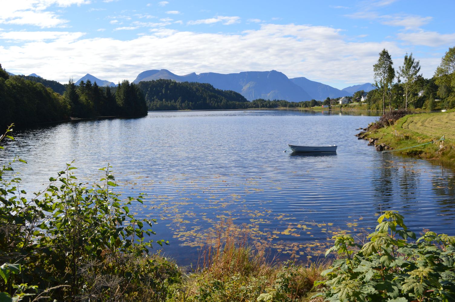
Mausavatnet is an idyllic lake with a paved pedestrian and bicycle path along one of its sides and a gravel footpath along the other. The circular trail around the lake covers various types of terrain and vegetation.
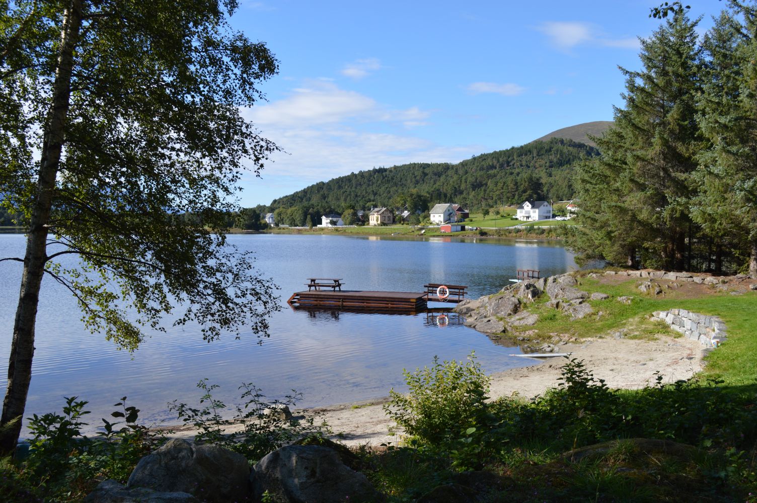
There is a good car park with a toilet at the north end of the lake just after the exit from the main road. On the northeast side of the lake, you will find a designated swimming area, Bakkevika, with toilet and barbecue facilities.
The trail around the lake is also suitable for people with prams, wheelchair users with helpers, and cyclists.
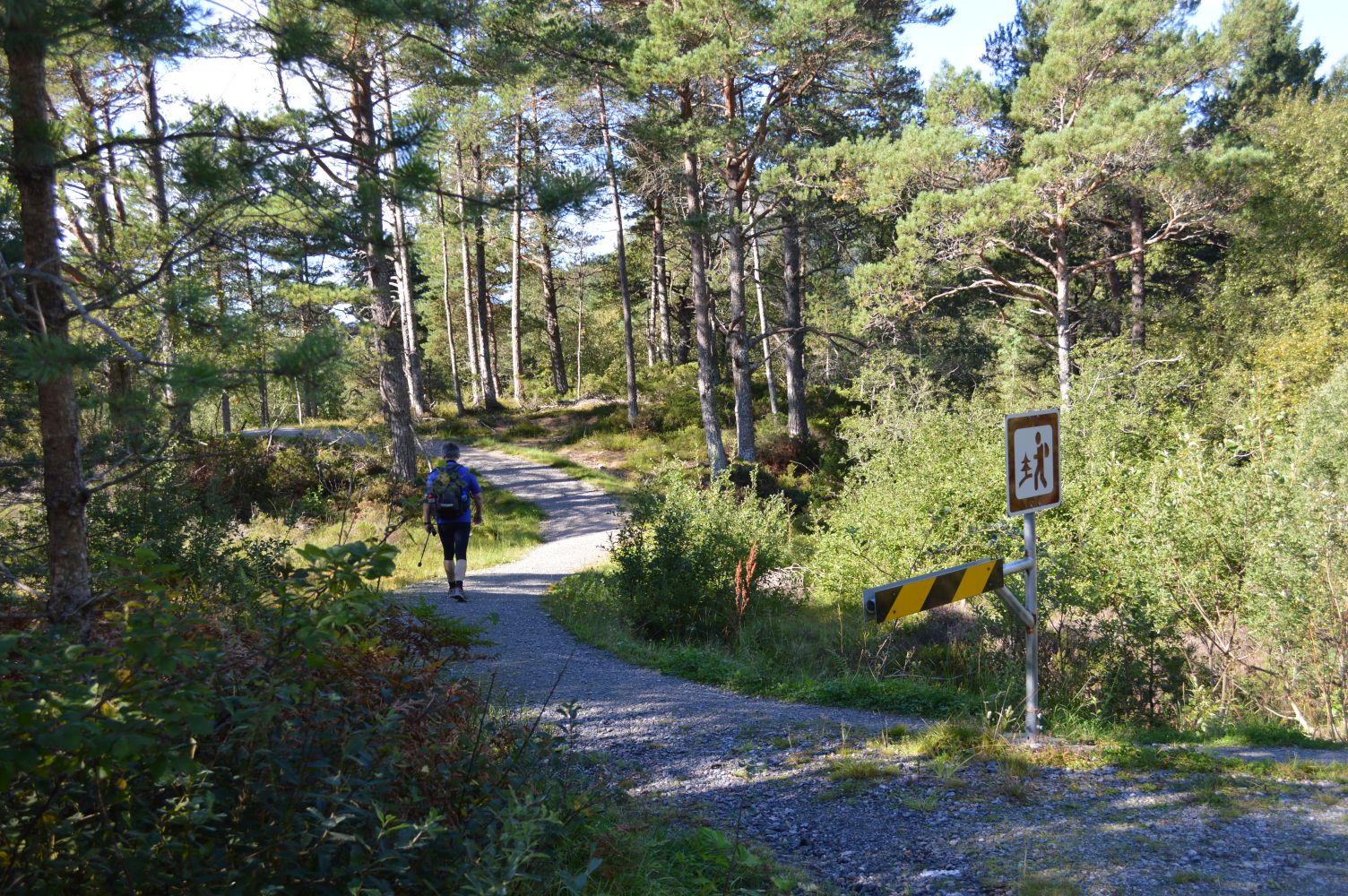
This scenic trail around a lake mostly follows gravel roads or paved pedestrian and cycling paths. The circular route is about 3.4 km long. The pedestrian and bicycle path on the west side is relatively flat, while the hiking path through the forest in the east is a little more hilly.
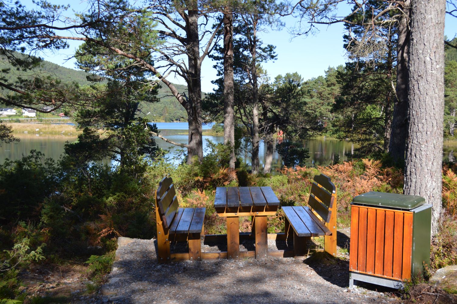
You will walk across various terrain with open areas in the west and pine forest on the east side. There are some picnic tables and benches along the hiking trail.
Bakkevika is a great swimming area with a small sandy beach, a toilet, tables, and barbecue facilities.
Other destinations: with a starting point in either Grova or Eikrem, you can follow the forest road up to Rollonhytta. From there, you can continue along the path to Taustua or towards Sulafjellet.
Lake Mausavatnet lies on the south side of National Road 61 (RV61) in the direction of Sulesund. If you are coming from the north (Ålesund), drive through the tunnel just before Mauseid. Continue past the exit road to Langevåg and take the next exit road to the right. Follow the road to the left so that you enter a short tunnel/superstructure under the main road. You will see the car park and the toilet on your left-hand side as soon as you reach the lake after about 100 metres from the exit road.
There are two bus stops you can use: Grova on the northwest side of the lake (in the direction of Ålesund), which is closest to the Bakkevika swimming area, and Eikrem on the southwest side of the lake. Both bus stops can be used as starting points for the walk around Lake Mausavatnet or a hike to Rollonhytta and Sulafjellet.
There is a designated car park with a toilet at the northwest end of the lake along Eikremsvegen Road.
Duration
1 t. 50 min.

| Surface type |
Distance |
| Asfalt |
1,8 |
Hiking map of Ålesund – the Norwegian Mapping Authority, 2000
 Driving directions
 Route data
GeoJSON