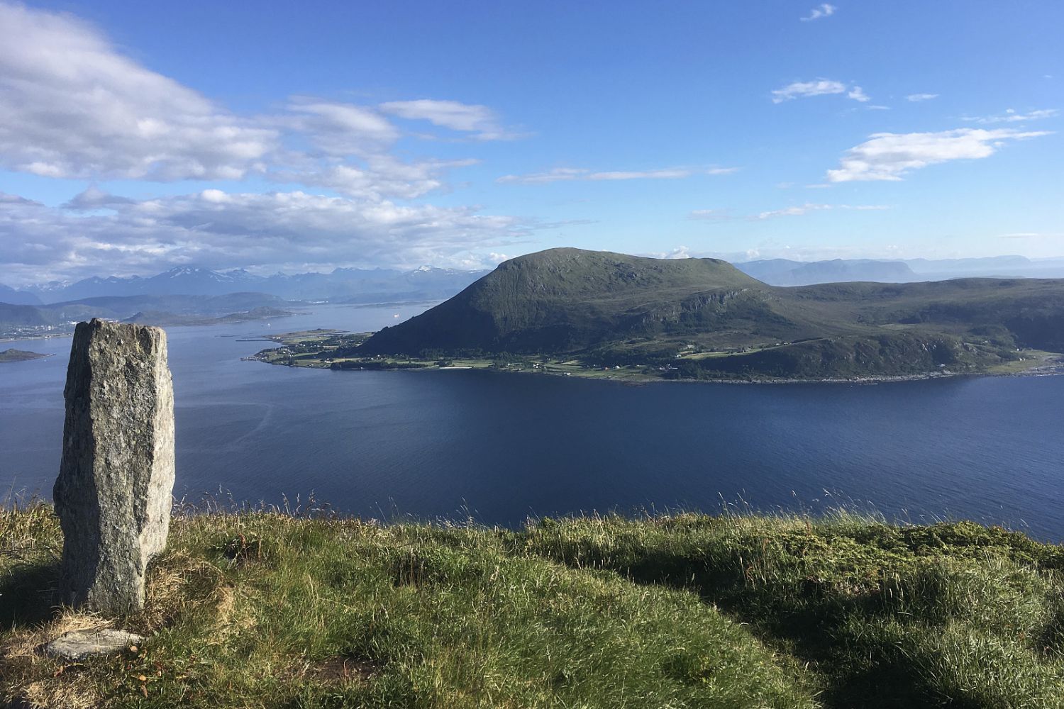
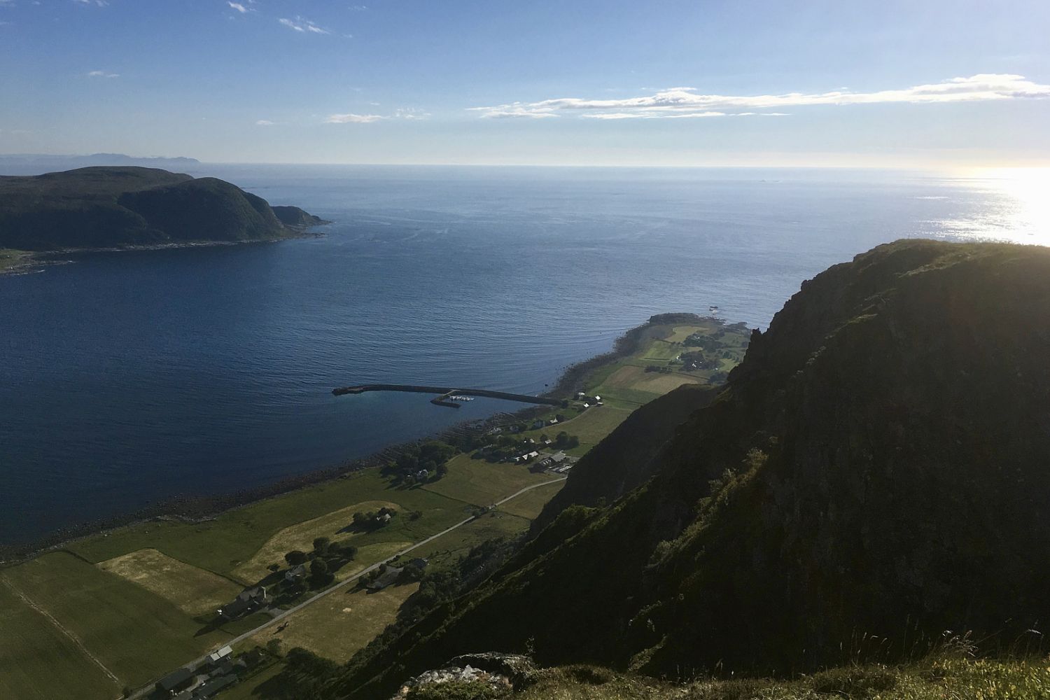
Excellent trail through the woods and in the mountain, with nice views
Route description
The route starts at the parking area. The marked trail on the map follows the road and paths on the way up. At the spot where the path leads along the mountain ridge, you will have great views of Lepsøya, Lepsøy bridge and the mountains further in.
You can often catch a glimpse of both ravens and eagles along this route. From Mannen mountain you can see Haramsfjell mountain with its wind turbines. You can continue from Mannen towards Ulla, Ullahornet, Nova and Hestevollane, which are also great hiking destinations, but you will have to pass the turbines. At Hestevollane there is a war memorial for a plane that crashed during the Second World War. From Ullahornet, there are splendid views of Ulla and the Ulla lighthouse.
Access and parking
Drive along Nordøyveien to Haramsøya, turn right at the crossroad after the tunnel. Parking at the Haram youth community centre.

 Driving directions
 Route data