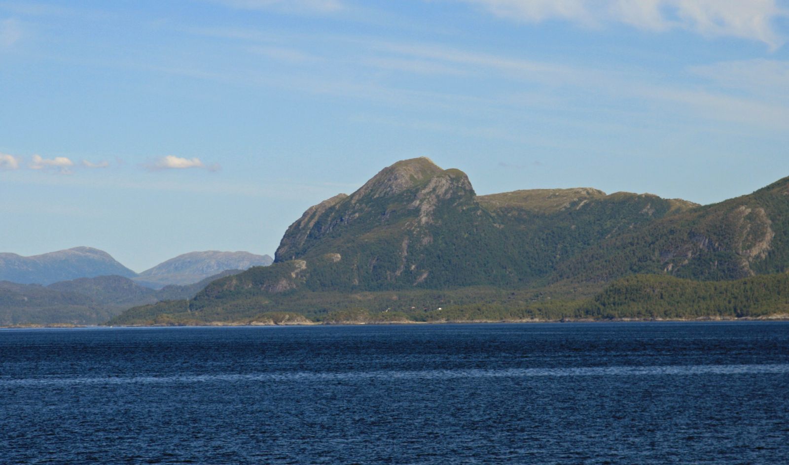
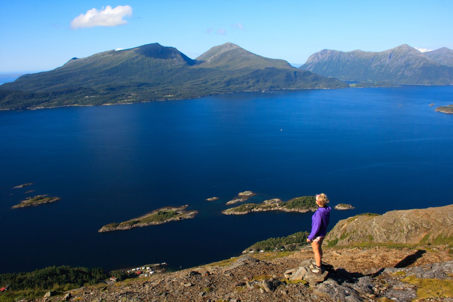
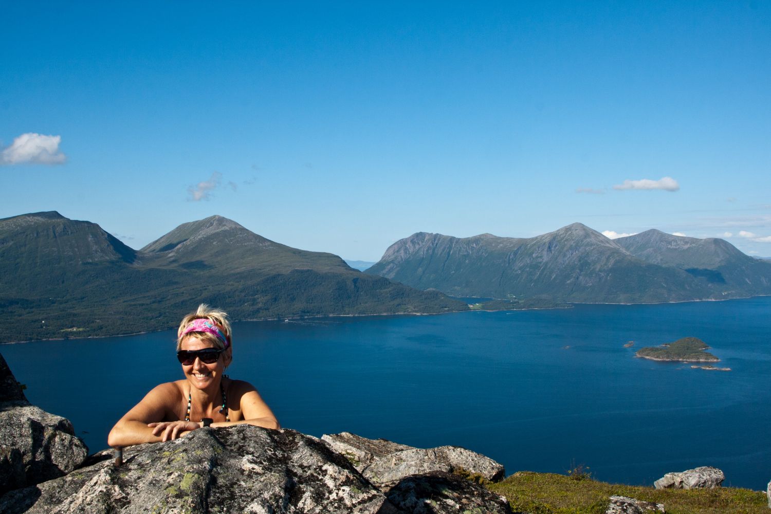
Magnhildberget is a mountain top in the outer part of Tingvoll Municipality that lies at 486 metres above sea level. The mountain is a prominent landmark that is clearly visible from Kristiansund. Although the mountain is not very high, the view from the top over Aure Municipality and Talgsjøen is fantastic.
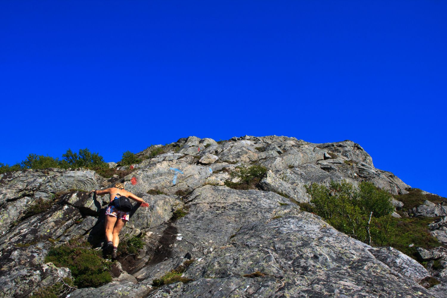
Some sections of the path follow a steep hillside and can be quite challenging when the rock surface is wet and slippery. The path is well signposted with signs and red marks.
Walk up the gravel road from Magnillen Camping for about 600 m. There is a sign at the start of the trail. The path is well marked all the way up to the top. The first section of the path climbs steeply up through the forest before the terrain flattens out. The steepest section that goes up the mountain ridge will begin just above the tree line. The ascent here is about 40 degrees, but you will walk on a well marked and solid surface. During rainy periods, the rock surface becomes slippery and it could be challenging to walk along the steepest section, especially on the way down.
Drive along E39 from Krifast to the Kanestraum ferry terminal. Turn off to Magnillen Camping after about 100 metres from the Kanestraum ferry terminal. Drive all the way to the camping and you will see a car park at the turnoff to the campsite.
Park your car by Magnillen Camping.
Duration
2 t. 15 min.

| Surface type |
Distance |
| Sti |
4 |
1321 II Kristiansund and Tingvoll tourist map
 Driving directions
 Route data
GeoJSON