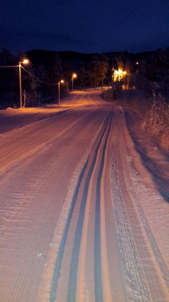
This well-maintained illuminated ski trail is primarily used for training. When conditions allow, wide trails are groomed here with both good-quality classic tracks and a skate lane next to them. This way you can do both skate and classic skiing. The trail is varied and easy to follow, and you will encounter both flat, slightly hilly, and steep sections on your way up and down. Of course, the trail can also be used for short ski trips for those of you who have small children or choose not to go mountain skiing for any other reasons. In the winter season of 2018, there will be a Stikk Ut postbox at the end of this trail.
This ski trail takes you through hilly terrain and has a curving shape. Flat at first, it climbs up a number of slopes and reaches a hilly section in its upper part. When you have skied down a gentle slope, you are halfway through the trail. Go up a small hill, then through a hilly section right below the spot where you have just been, and finally down several slopes to the flat area where you started.
The trail starts at the Øyan Stadium in Betna, about a 6-minute drive from the Halsa ferry terminal.
E39 northbound, from the Halsa ferry terminal: Drive in the direction of Trondheim for about 6 minutes, turn right once you drive into the illuminated streets of Betna at the bottom of the hill that leads up to the Betna junction.
E39 southbound, from Hemne or Surnadal: Turn off towards Ålesund at the junction in Betna. Drive for about 300 metres down a winding hill and over a small bridge at the bottom of that hill. Turn left immediately after that bridge.
Then follow the road all the way to the stadium and park your car next to the garage there.

 Driving directions
 Route data