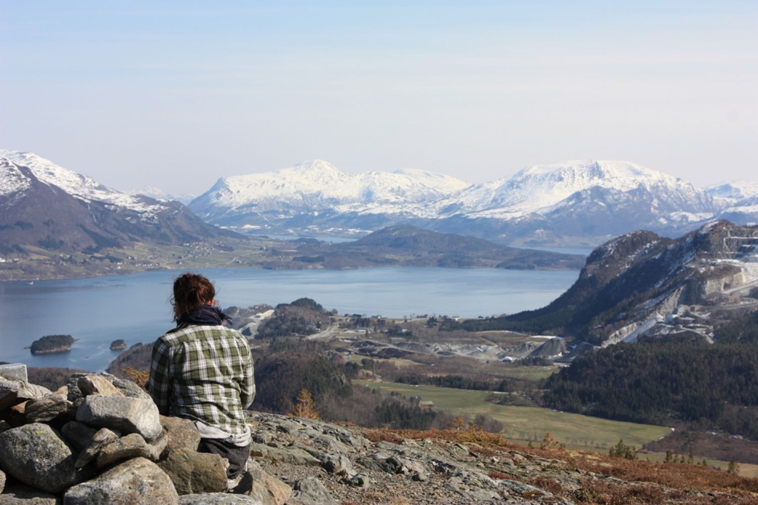
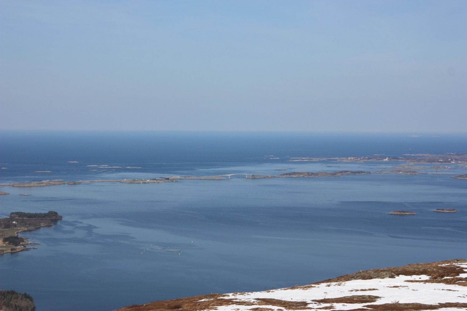
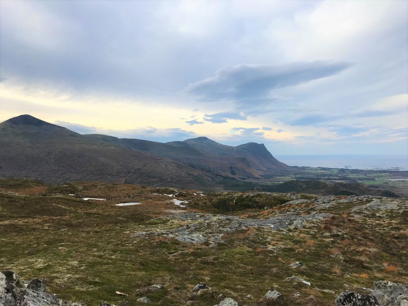
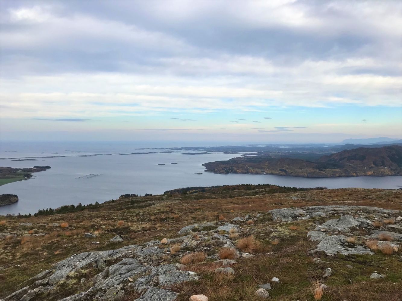
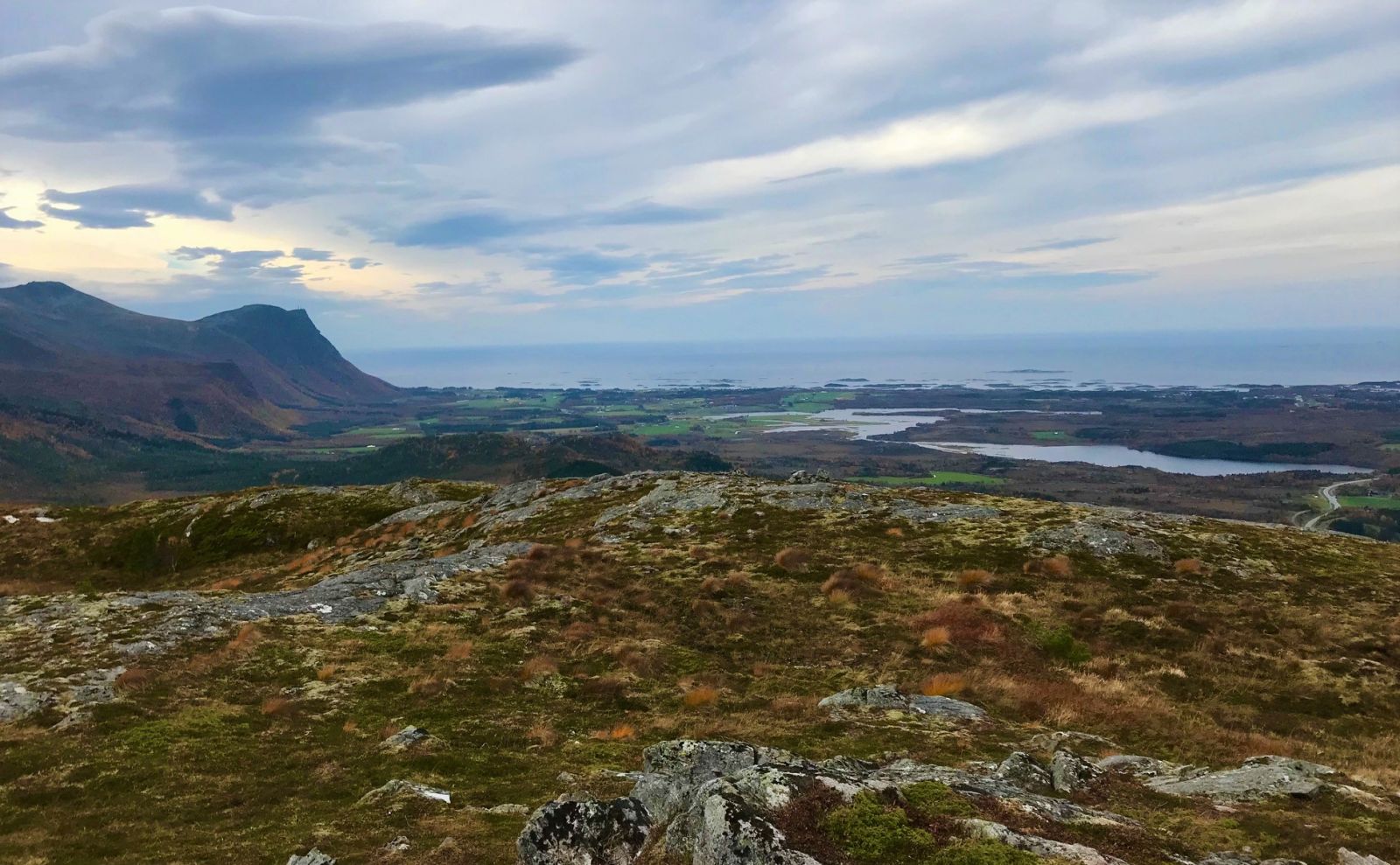
This is a trail for those who wants to warm up their muscles along the way, as it features some long and tough ascents which will certainly boost your heart rate a bit. Above the tree line the mountain swings inwards and rewards you with a fantastic view in all directions.
Route description
The trail starts at the car park near the Lyngstad school building. If you are there during the school’s opening hours, you can park your car right next to the main road. Outside of the opening hours you can use the car park by the school building. The trail starts here at the back of the school. From here, an asphalt road goes for about 100 metres, the school will then be on your left-hand side. The road then changes into a gravel road and a forest road. At some point you will come across a sign for Akslia with an arrow pointing to the left. Follow the way up. At the top of the forest road you will come to a T-junction. Take the turn to the right and continue following the forest road. The road then drifts to the left and climbs up quite steeply. This is a tough and long hill. When you think you have reached the top of the hill, you are in fact not there yet. You have to continue further up. But then you will have finally made it to the top. From here, the forest road runs downwards a bit further ahead.Turn off the well defined and clear path to the right of the tractor road. The path now goes up through a bit of a marshy patch. It can be wet here at times. Continue walking up the path until you are above the tree line. You will find the first trail postbox here. It is also a fantastic view from here. Continue your trail further up towards the next large cairn. Here you will find the second trail postbox. You will have to walk along the path and partly across the rocky slopes. The view is perfect.
Access and parking
The trail starts from the Lyngstad school building in Lyngstad. Drive along National Road 64 (Rv64) to Lyngstad. If you are coming from the direction of the Atlantic Road and Vevang, take the turn to the right at the junction in Lyngstad. If you are coming from Eide, drive along National Road 64 (Rv64) to Lyngstad and take turn to the left at the junction in Lyngstad.
Continue for about 50 metres before you turn right again and drive up to the school. It is located a bit further up in the forest near the ski trail. You can see the school from the road while you are driving along Rv64.
If you are there during the school’s opening hours, you can park your car right next to the main road. Outside of the opening hours you can use the car park by the school building.
If you are there during the school’s opening hours, you can park your car right next to the main road. Outside of the opening hours you can use the car park by the school building. Free parking.
Hiking route
Blue
Distance
2,59 km one way
Elevation
307 m
Duration
2 t. 5 min.
Sesong
Spring, Summer, Autumn
Highest Point
351 masl
Signage
Signed
Mobile coverage
Map route
Surface type
Distance
Asfalt
0,2
Sti
2,3
Public transport
Bus connection to Lyngstad. Get off the bus at the bus stop by National Road 64 (Rv64). From here the walkway will take you up to the school. The walkway goes under Rv6 and up to the right.
Please see http://www.177.no

 Driving directions
 Route data