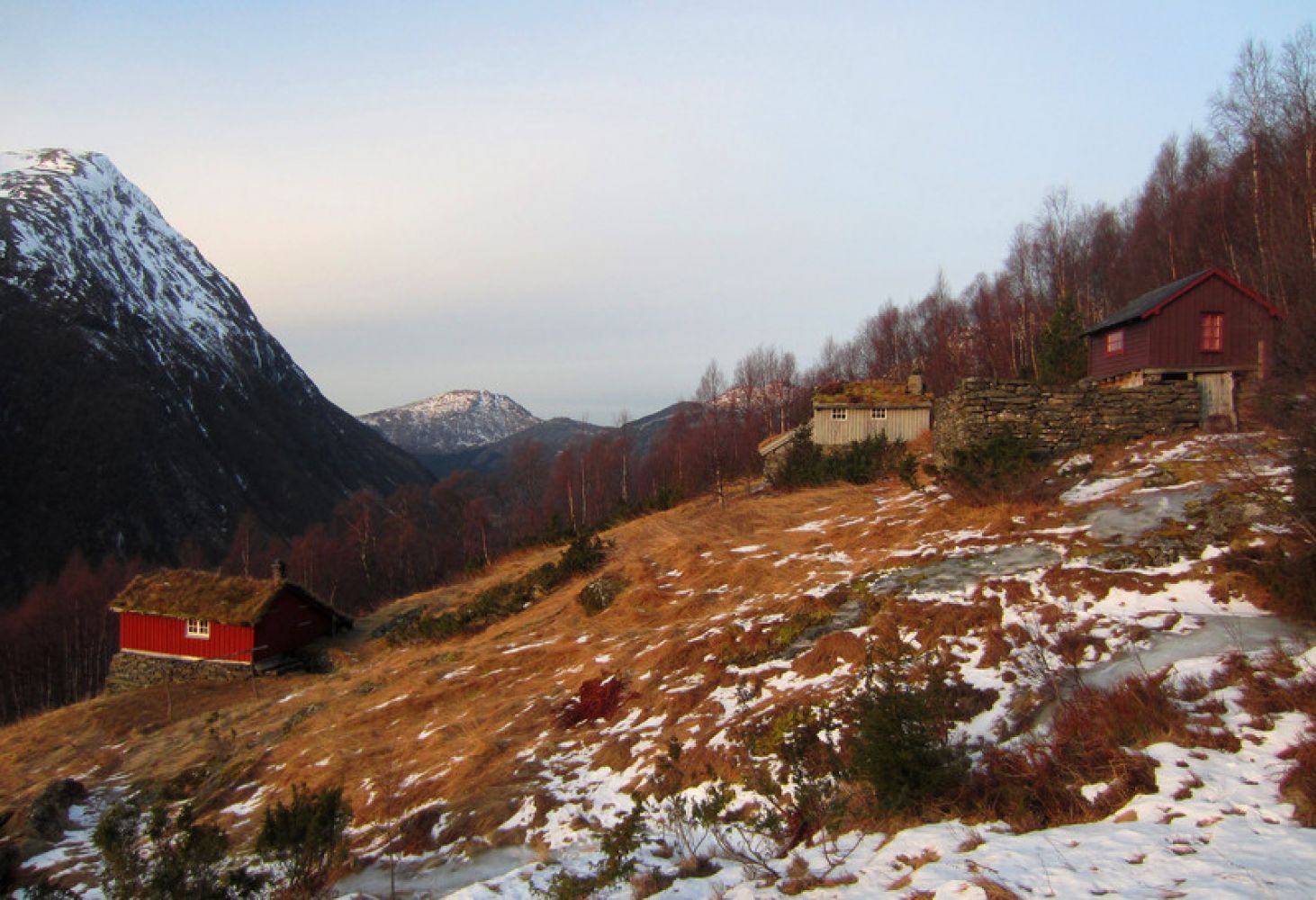
This is a nice, but steep 2 km long trail that will take you up to the summer mountain farm area called Løsetnakken. You will find a trail postbox attached to a barn at the bottom of the farm. If you want to walk a little further, look for a path at the top left side of the farm. This path will take you to a place called Orreberget. Among other things, you will get a great view of Mosætra here. The path to Orreberget is not marked, but it is easy to find. This additional trail will take you about half an hour there and back.
The trail covers steep terrain and follows a tractor road almost all the way up to Løsetnakken. The start of the trail is at 220 altitude metres. Once you reach the uppermost section of the tractor road, turn off to the right and walk for about 100 metres along a marked path to Løsetnakken. During rainy periods there might be wet sections along the tractor road.
Drive from the centre of Stordal in the direction of Valldal. After about 5 km you will drive past the junction to Overøye. Continue for about 1.6 km until you have passed Løset. Turn off to the left.
There is a car park that can accommodate several cars at the start of the trail.
Duration
1 t. 35 min.

| Surface type |
Distance |
| Sti |
0,1 |
There is a bus connection between Ålesund and Valldal. Please check frammr.no
Ørskogfjellet tourist map
 Driving directions
 Route data
GeoJSON