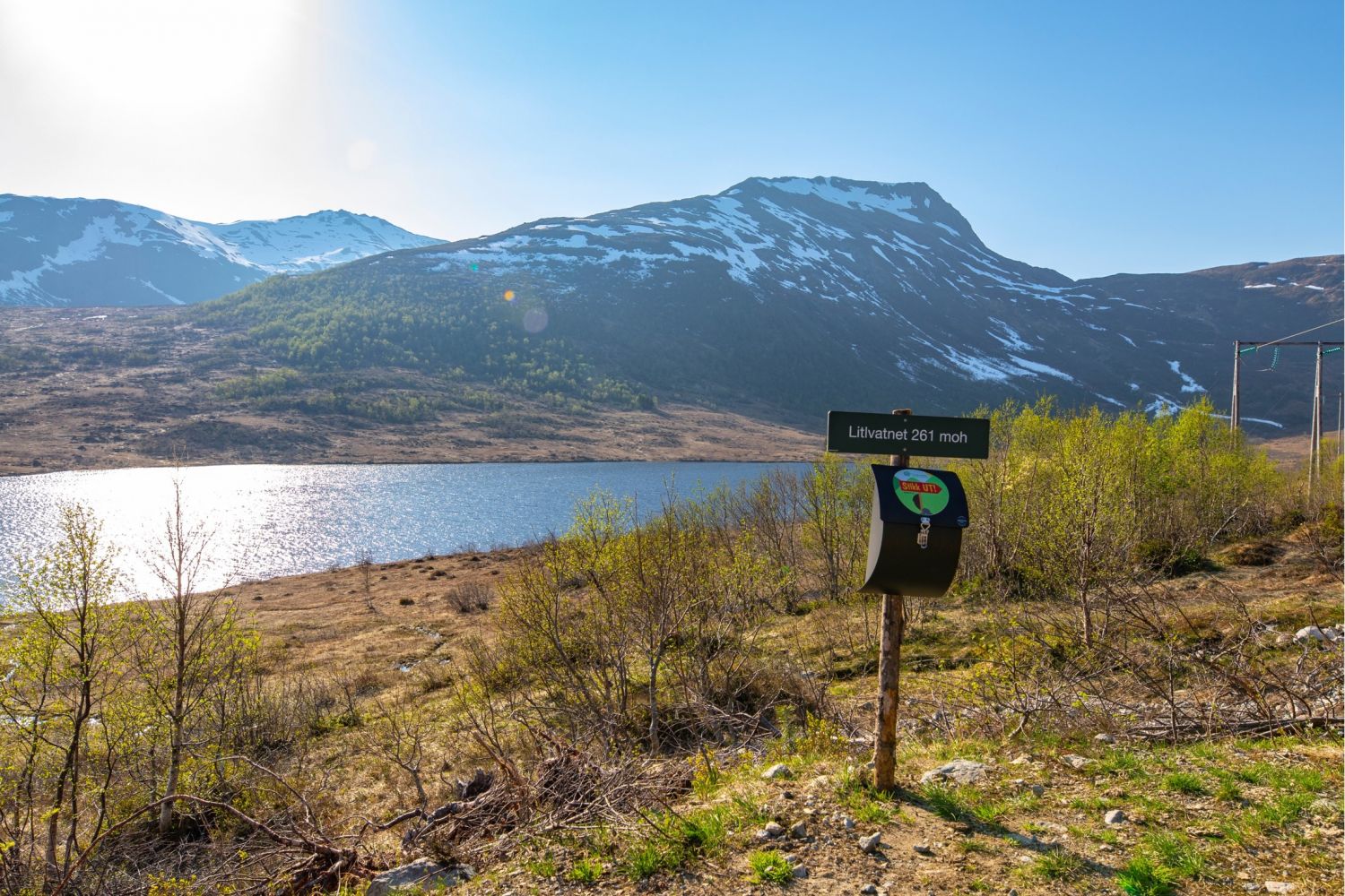
Litlvatnet, Åndal
Gjemnes
The trail starts in lovely farmland settings and runs along a gravel road which is easy to follow. You can meet farm animals grazing on a summer pasture along the way and enjoy the views of a number of lakes and mountains. If you are in good shape, you can walk further up to Bjørnen and Luten mountains. The trail is stroller-friendly.
The trail starts from the car park in Åndalssetra. From here, walk across the bridge and follow the gravel road inwards until it ends. You will see a boom gate across the road right after the bridge, but there is enough room to walk around it.
You will find the trail postbox by the gravel road a couple of metres away from the water. There is a bench here so you can sit down and enjoy a quick snack. Follow the same way back. On a good day you can take a nice, but somewhat longer and more challenging walk further up Mount Bjørnen or possibly even Mount Luten, before you return to the starting point.
The easiest way to get here is either by car or by bicycle.
From Molde: Follow E39 until you are on your way down from Mount Fursetfjellet. Turn off at the road sign to Åndal (FV286). After passing the river at the bottom of the valley, take the turn to the left and follow this road for 7.5 km.
If you are coming from Kristiansund and County Road 666 (FV666), drive along E39 past the municipality centre Batnfjordsøra. After about 4 km, turn off the road at the sign to Åndal (FV286) and follow the route as it is described from Molde.
The last section of the route is a toll road (40 NOK). It is a gravel road which is narrow and less visible in certain places.
Next to the Trolldalselva river in Åndalssetra (NB! Toll fee).
Duration
50 min.

Sesong
Spring, Summer, Autumn
| Surface type |
Distance |
| Grus |
1,5 |
Åndalssetra and the nearby areas are grazing areas. Please show your consideration.
Norge map series Sheet 035 Hustadvika.
 Driving directions
 Route data
GeoJSON