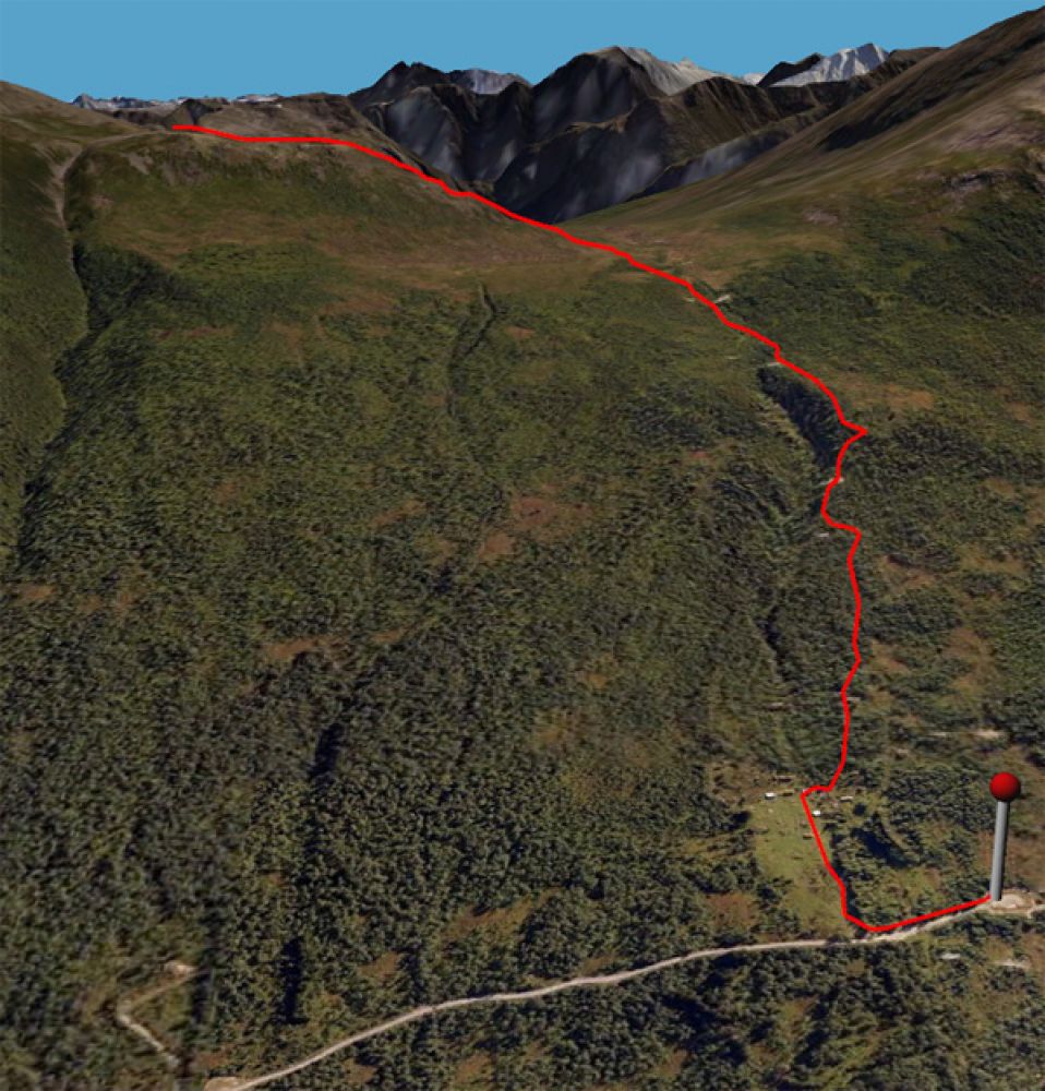
Park your car at the end of the road after the mountain farm Nysetra (toll road). Walk back along that road for about 100 m and turn right just after the river (signposted). Follow the path towards the mountain farms and cross the river to the right just before the farm. Keep following the path as it runs past the highest of the mountain farms. The path continues uphill to the right of the river and follows the power line.
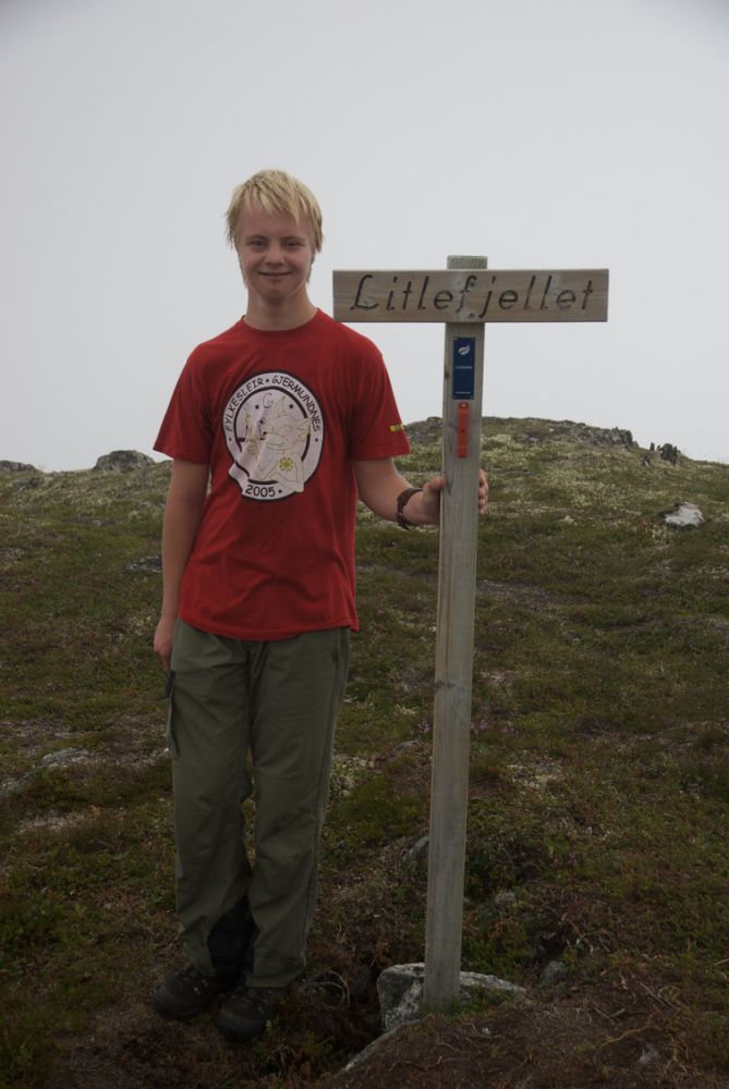
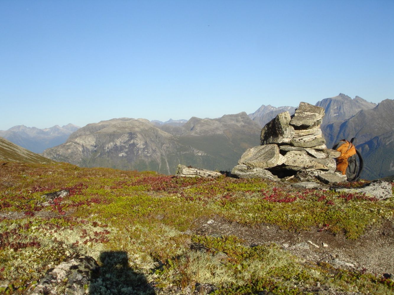
When the terrain flattens out, the path follows the trace of an old service road. Continue along this road until it flattens out and the path takes the left turn. The path follows a rocky ridge up to the point where the ascent to Litlefjellet begins and climbs up the side of the mountain (signposted and marked with a cairn).
From here, you can extend your hike to Mount Skarven or walk around Skarven, past Lake Klauvvatnet, and towards Søviksetra.
Source:

 Driving directions
 Route data