Lisjerøfsdalen – Route 52
Vanylven
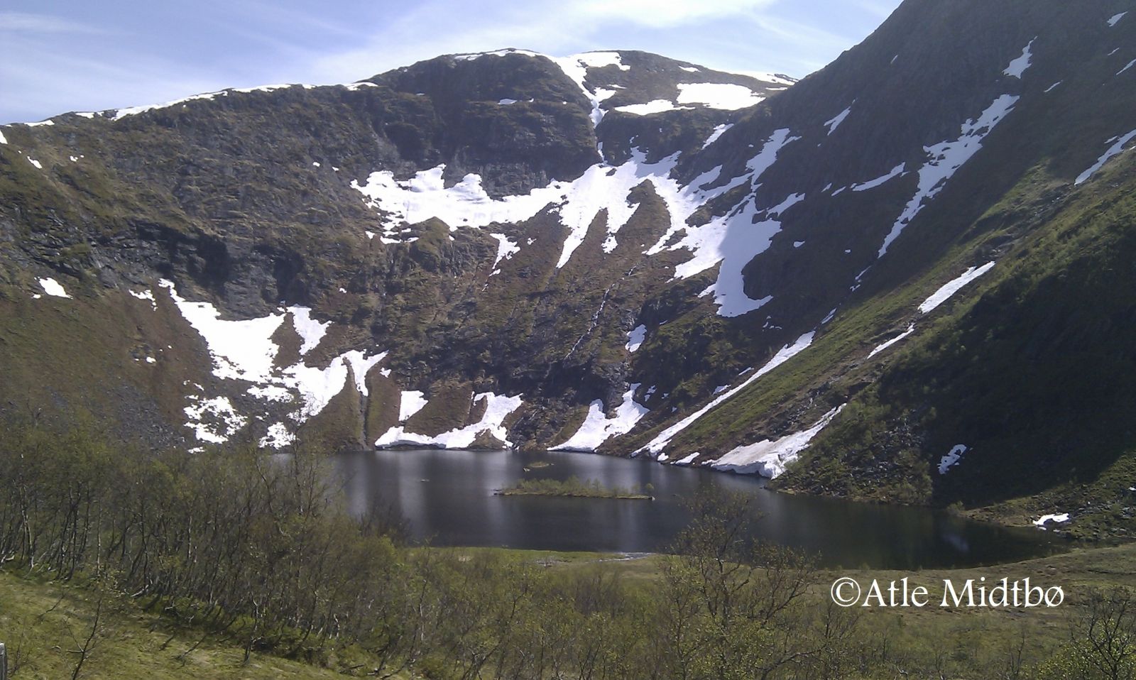
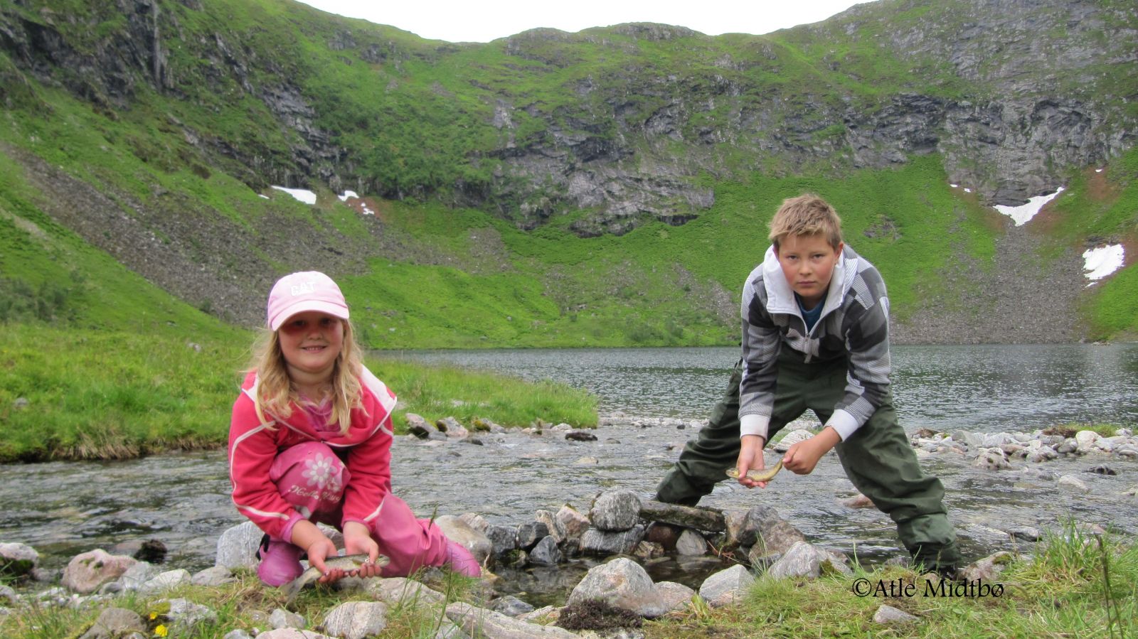
This trail features fairly easy terrain and is perfect for a family walk. It leads to a place that the locals from Syvde call the pearl of the valley. The Lisjerøfsdalen Valley, surrounded by the mountains Jolehornet and Lisjerøfsdalsnipa, provides a shelter from bad weather, especially when the northern winds blow in the village. There is a place for a fire and a nice grassy area for camping by the lake. You are free to go fishing in both the river and the lake. You can sit by the remaining stone walls of the Urhellom cabin and have a barbecue. Here, you are also protected from the wind. A walk to Lisjerøfsdalen can be a starting point for a longer hike, for example to Joledalen and Lisjeblæja or up Ågotskaret to Lisjrøfsdalsnipa.
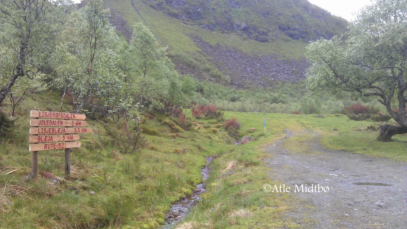
A clearly defined and marked path will take you from the car park in Lundagjerde further into the valley. The ascent varies slightly along the way as you walk through a forest of low birch trees. You will see the valley once you reach Reset, which is the highest point of the trail. The terrain from here to Lake Lisjerøfsdalsvatnet is flat. This section can be a little muddy and wet, but the Syvde Sports Association set up wooden footpaths over the wettest patches. Route 52 continues from Lisjerøfsdalen to Joledalen and Lisjeblæja (please see the description of the trail to Lisjeblæja, Route 52).
Drive from the centre of Syvde in the direction of Sørdal. When the county road takes the right turn in Smedbøen, continue driving straight ahead between some residential houses. Once you have passed the houses, you will see a large stone on the right side of the road with a box attached to it. This is a toll collection point set up by Myklebust Joint Ownership. The Røfsdalen Valley is a good starting point for several mountain hikes of varying length. You will find car parks in both Røfsdalsætra and Lundagjerde. The distance from Røfsdalsætra to the car park in Lundagjerde is 3 km.
You can leave your car at the car park or on the grassy plain in Lundagjerde.
Duration
1 t. 0 min.

| Surface type |
Distance |
| Sti |
1,8 |
Hiking map: På tur i Vanylven (Eng. Hiking in Vanylven) – can be purchased at local shops and petrol stations in Vanylven Municipality.
 Driving directions
 Route data
GeoJSON