Around Lisjerøfdalen: Lisjeblæja – Blæja – Jolegrøvatnet – Lisjerøfsdalsnipa
Vanylven
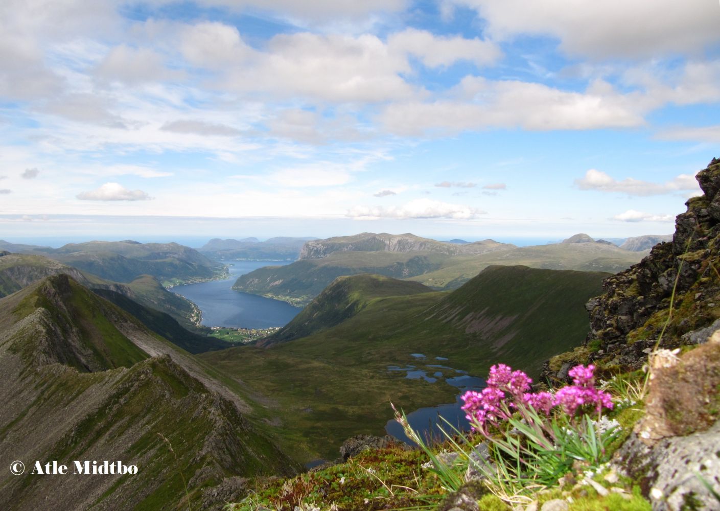
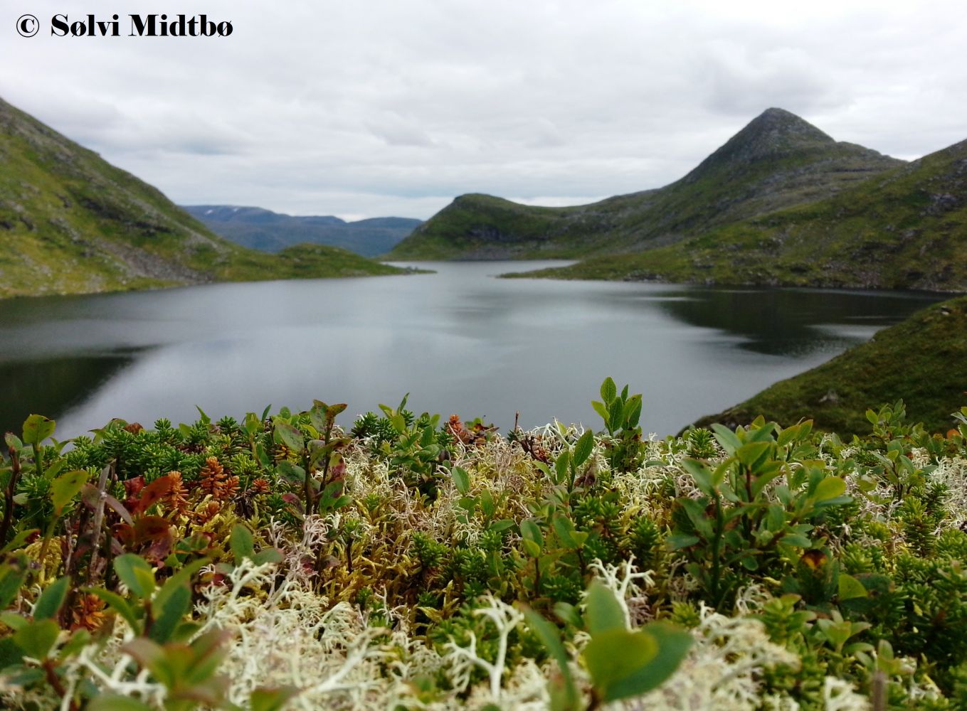
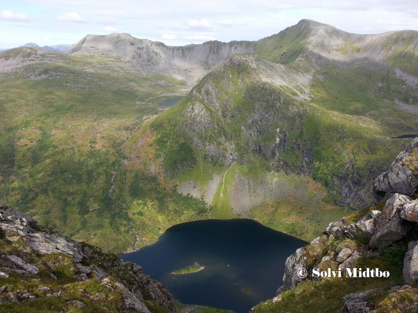
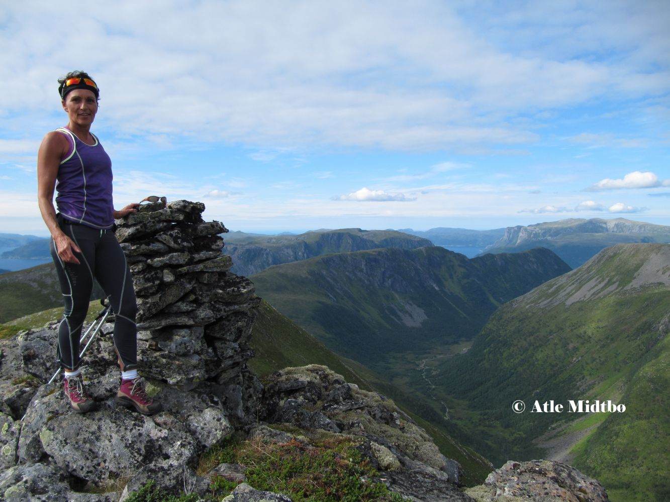
This circular trail offers the most dramatic mountain landscape, two of the highest peaks, and some of the most scenic areas in Vanylven. The Lisjerøfsdalen Valley is a true gem on a summer day. It provides a shelter from bad weather and has a good fishing lake. The peaks of Lisjeblæja (1032 m a.s.l.) and Blæja (1142 m a.s.l.) offer a spectacular view over the ocean, the Sunnmørsalpane mountain range, and the Jostedal Glacier. The narrow mountain ridge Blæjeegga, with some very open and steep sections, is described by many as the local version of Besseggen. Jolegrøvatnet is a fish lake in scenic surroundings. The cairn at the peak of Lisjerøfsdalsnipa (950 m a.s.l.) is located on the very edge of the mountain, and you can look straight down into Lake Lisjerøfsdalsvatnet, some 460 metres below.
A clearly defined and marked path will take you from the car park in Lundagjerde further into the valley. The ascent varies slightly along the way as you walk through a forest of low birch trees. You will see the Lisjerøfdalen Valley once you reach Reset. The terrain from here to Lake Lisjerøfsdalsvatnet is flat. This section can be a little muddy and wet, but the Syvde Sports Association set up wooden footpaths over the wettest patches. After you pass the remaining stone walls of the Urhellom cabin, follow the clearly visible path that climbs up towards the Joledalen Valley. The path is marked with blue-painted stones and sticks. This section is a little steeper than before, but you will quickly climb up to a height where you can enjoy the view of the Lisjerøfsdalen Valley. Once you are above the tree line, the path is clearly visible all the way to Raudesteinen in Joledalen. From here, you will walk through heathland, with blue-painted stones and sticks showing the route. The trail gradually ascends towards Lisjeblæjeskaret, and you will suddenly get a view over Røfsdalen and Syvde. The section of the trail from here to Lisjeblæja is covered in scree. The Syvde Sports Association (Syvde IL) has one of their most popular mountain trail posts on the top of Lisjeblæja, with a trail journal by the cairn. The path continues along Blæjeegga where you walk along a narrow ridge and a little down the mountainside. There are sections where you will need to do some easy mountain climbing when you approach the top of Blæja.
The route is not marked from Blæja onwards, but you can use the GPS track below as a guide. We have tried to avoid marshes and places covered with ferns. There is no continuous path from here on, but you will find a path that follows the ridge between Lake Jolegrøvatnet and the Lisjerøfsdalen Valley up towards Gavlen. The mountainside that goes down to the Lisjerøfsdalen Valley from Lisjerøfsdalsnipa is extremely steep, but the other side is covered in heather and scree. You will find a path along the edge when you walk towards Lisjerøfsdalsnipa and further down to the ridge above Lake Ågotvatna. Find an easy way to climb down to Lake Ågotvatna and when you go down Ågotskaret, it is best to aim for Lisjerøfsdalen and walk along the left side of the river. You will follow a steep ridge along the river covered in heather with no rocks or ferns. Cross the river in Lisjerøfsdalen, find the marked path, and the circular route is complete!
You can follow this circular trail in both directions. It is easiest to follow the route described here, since it is planned with the steep and difficult sections in mind.
Drive from the centre of Syvde in the direction of Saurdal. When the county road takes the right turn in Smedbøen, continue driving straight ahead between some residential houses. Once you have passed the houses. You will see a large stone on the right side of the road with a box attached to it. This is a toll collection point set up by Myklebust Joint Ownership. The Røfsdalen Valley is a good starting point for several mountain hikes of varying length. You will find car parks in both Røfsdalsætra and Lundagjerde. The distance from Røfsdalsætra to the car park in Lundagjerde is 3 km.
Distance
12,8 km both ways
Duration
6 t. 5 min.

| Surface type |
Distance |
| Sti |
7 |
Map: På tur i Vanylven (Eng. Hiking in Vanylven) – can be purchased at Coop in Syvde.
 Driving directions
 Route data
GeoJSON