Lisjeblæja, 1032 m a.s.l. – Route 52
Vanylven
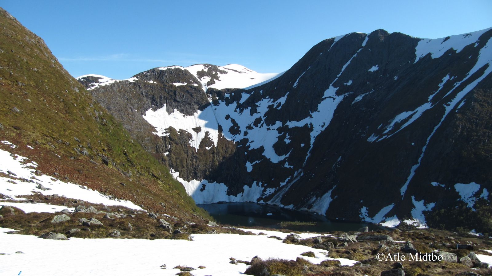
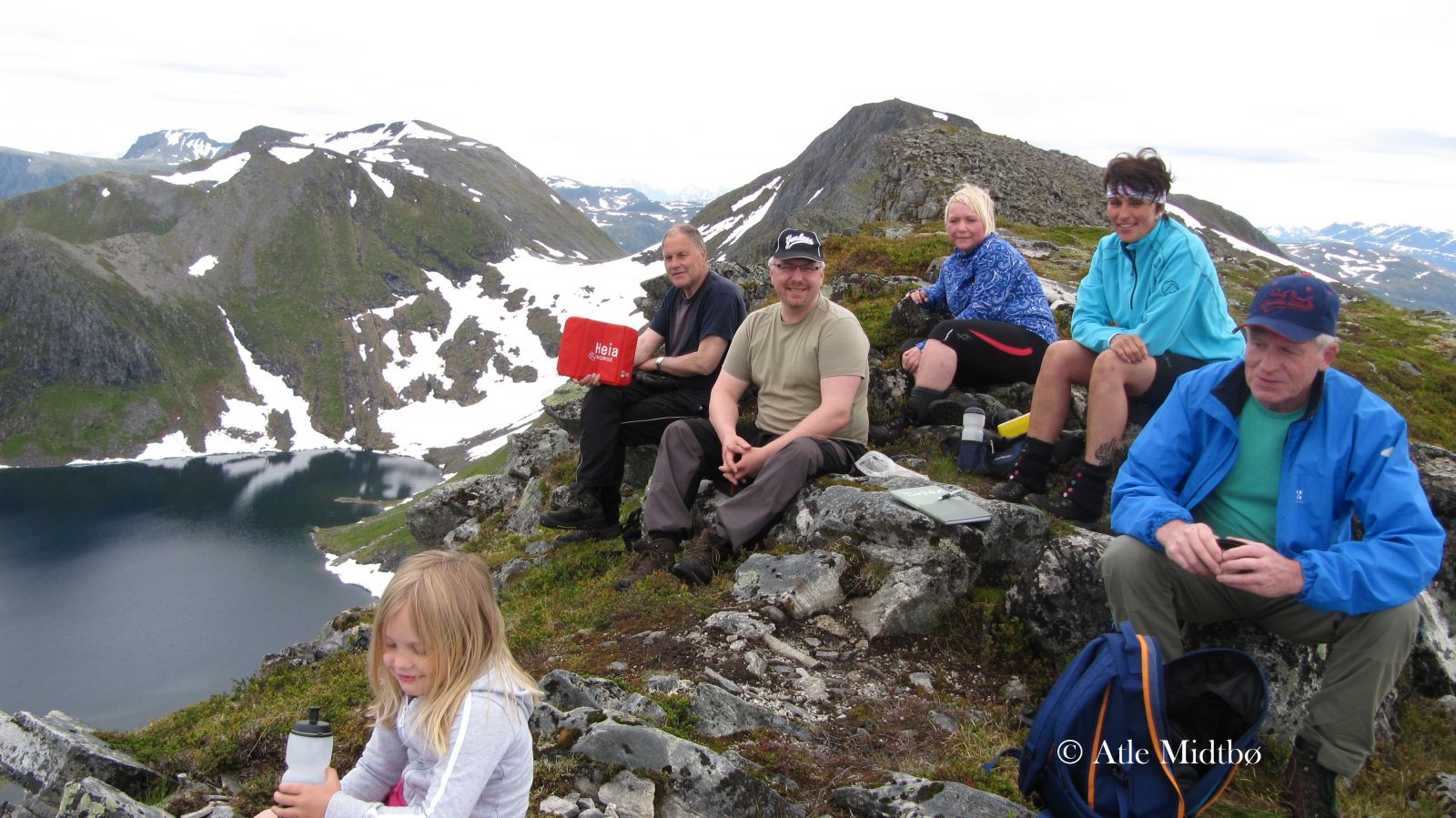
Lisjeblæja is one of the most distinctive mountain peaks you can see from Syvde. The trail to the peak is fairly easy and accessible for most people. One can reach the top via several routes, but this one is the most common and easiest. The peak of Lisjeblæja with its 1032 metres above sea level is an amazing viewing point, and watching the sunset from here is an experience in itself. If you have a whole day, you can go fishing in both valleys you pass on this route, Lisjerøfsdalen and Joledalen. The Syvde Sports Association has a fitness trail post by the cairn on Lisjeblæja.
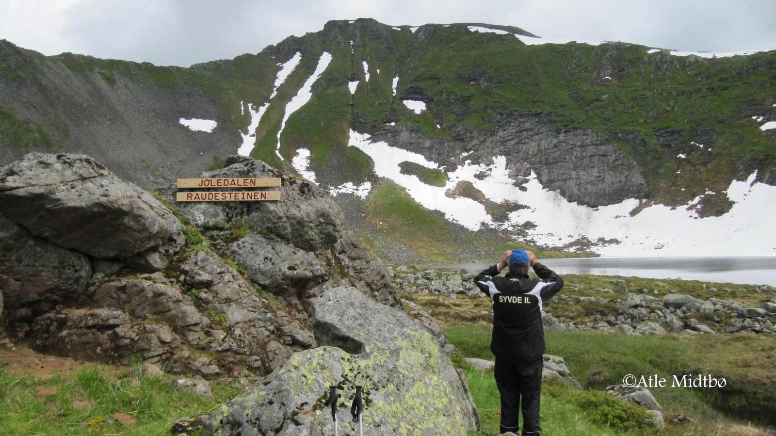
A clearly defined and marked path will take you from the car park in Lundagjerde further into the valley. The ascent varies slightly along the way as you walk through a forest of low birch trees. You will see the Lisjerøfdalen Valley once you reach Reset. The terrain from here to Lake Lisjerøfsdalsvatnet is flat. This section can be a little muddy and wet, but the Syvde Sports Association set up wooden footpaths over the wettest patches. After you pass the remaining stone walls of the Urhellom cabin, follow the clearly visible path that climbs up towards the Joledalen Valley. The path is marked with blue-painted stones and sticks. This section is a little steeper than before, but you will quickly climb up to a height where you can enjoy the view of the Lisjerøfsdalen Valley. Once you are above the tree line, the path is clearly visible all the way to Raudesteinen in Joledalen. From here, you will walk through heathland with no defined path, but blue-painted stones and sticks will show you the route. The trail gradually ascends towards Lisjeblæjeskaret, and you will suddenly get a view over Røfsdalen and Syvde. The section of the trail from here to the peak is covered in scree.
Drive from the centre of Syvde in the direction of Sørdal. When the county road takes the right turn in Smedbøen, continue driving straight ahead between some residential houses. Once you have passed the houses, you will see a large stone on the right side of the road with a box attached to it. This is a toll collection point set up by Myklebust Joint Ownership. The Røfsdalen Valley is a good starting point for several mountain hikes of varying length. You will find a car park in Røfsdalsætra and Lundagjerde. The distance from Røfsdalsætra to the car park in Lundagjerde is 3 km.
Duration
3 t. 25 min.

| Surface type |
Distance |
| Sti |
4,1 |
Hiking map: På tur i Vanylven (Eng. Hiking in Vanylven) – can be purchased at local shops and petrol stations in Vanylven Municipality.
 Driving directions
 Route data
GeoJSON