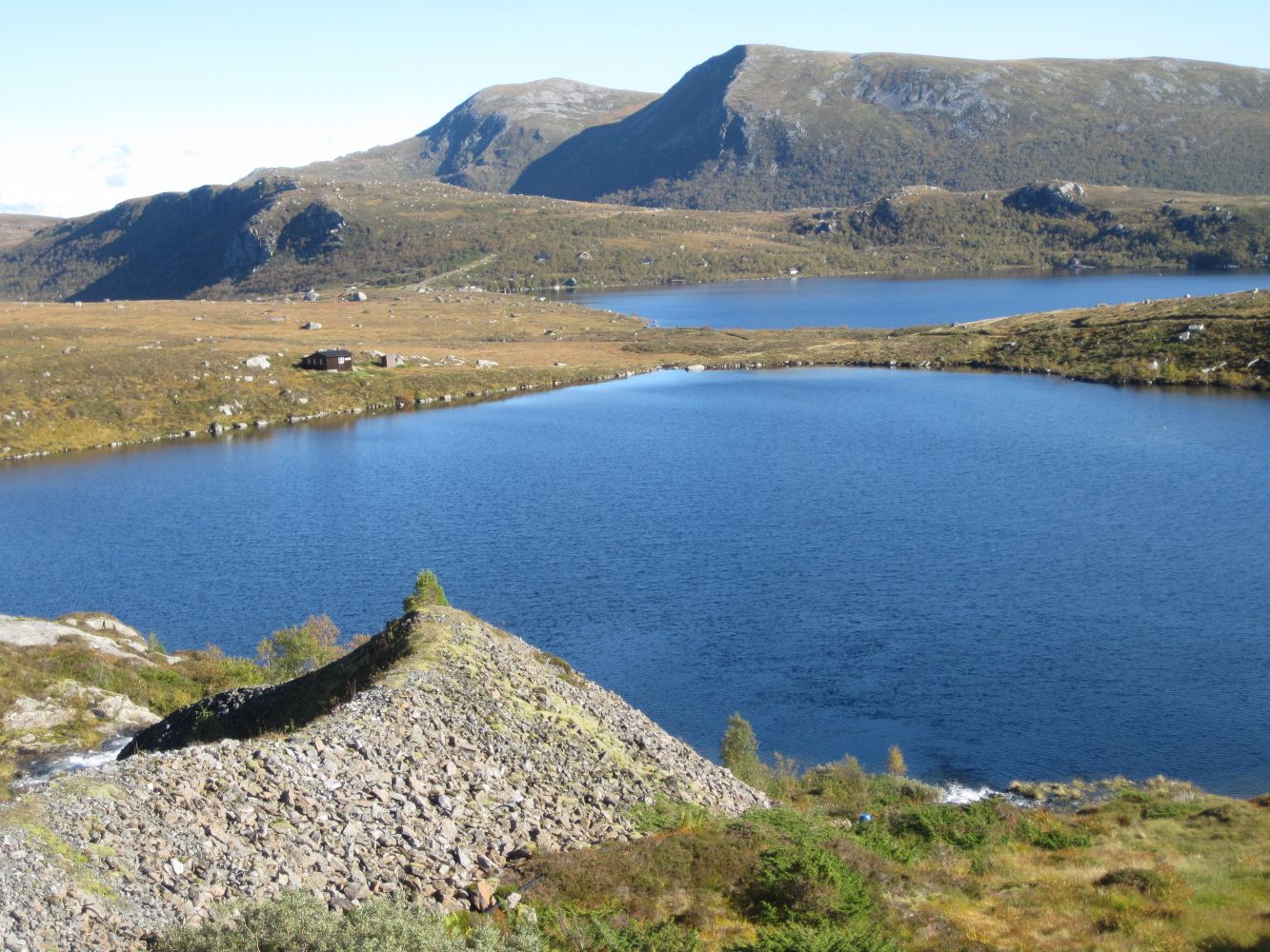
Walk over the dam and stop by the sign for Lidahornet. This is a loop trail, so you can move in both directions. You can either follow the blue marks to the right or go down to the left and follow the temporary road there.
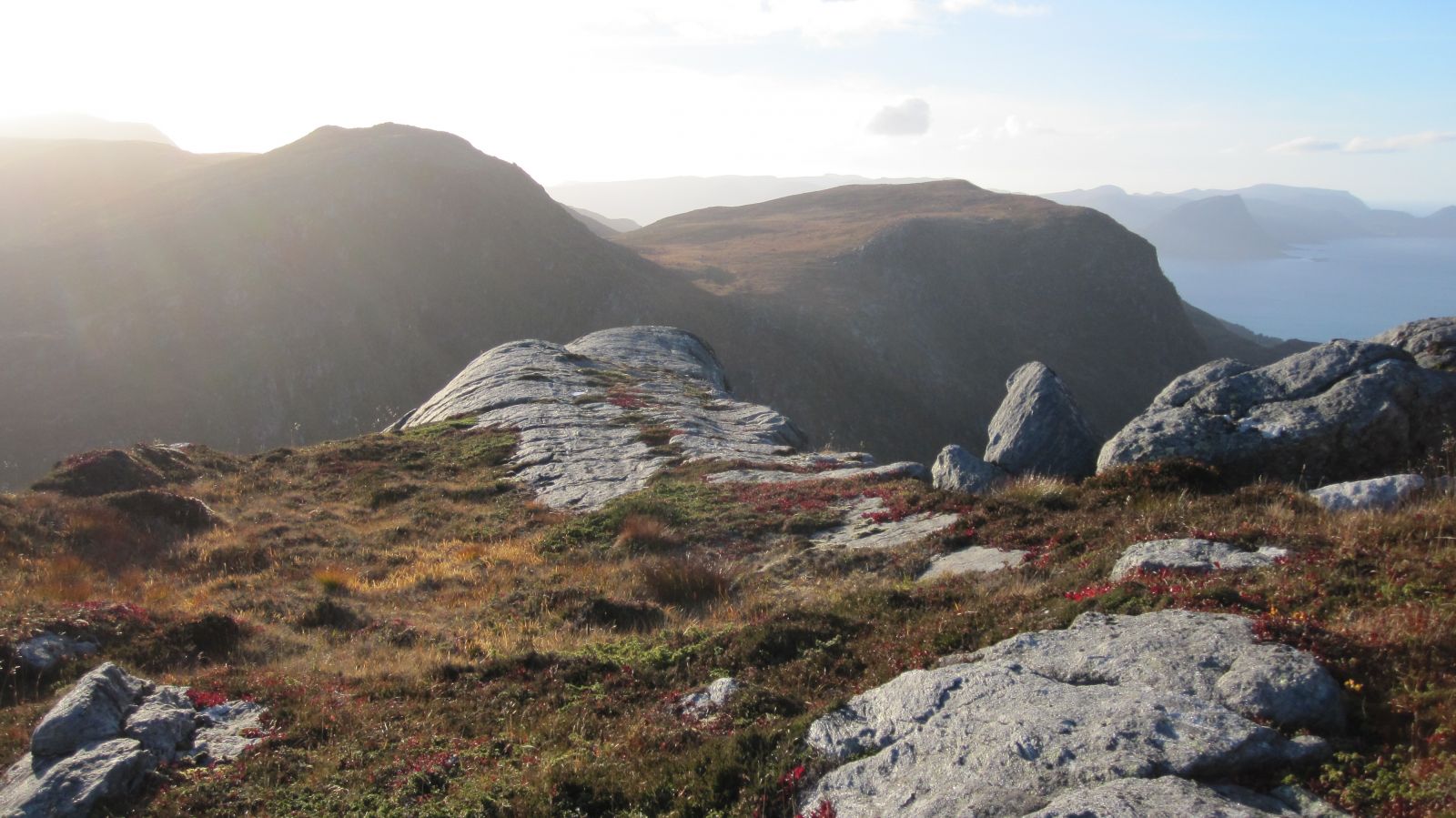
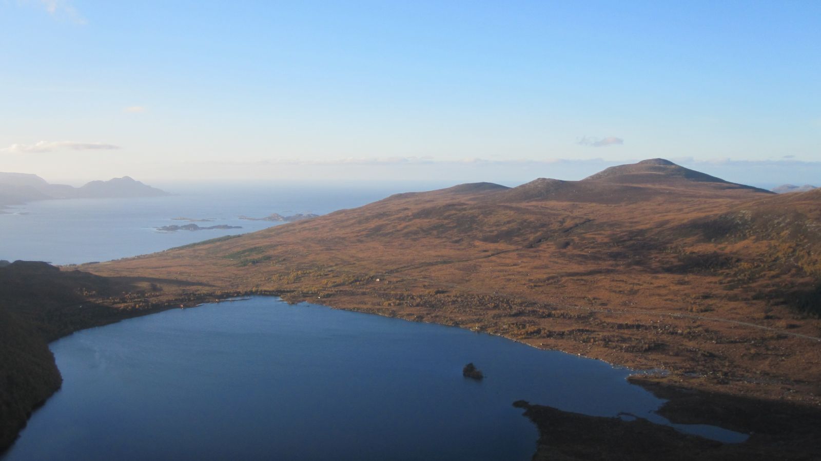
If you turn right towards Lidahornet: walk along the slightly ascending marshy terrain for the first kilometre. Once you come up to the top, you will get a panoramic view to the west. Walk along the top until you reach Tyskebryggja, an area of smooth rock which both gives you a thrill and offers a fantastic view over Lake Sandvikvatnet below. Continue walking further through hilly terrain until you reach Lågeskaret. Go back to Lake Børevatnet along the old temporary road.

 Driving directions
 Route data