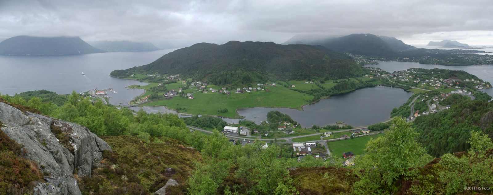
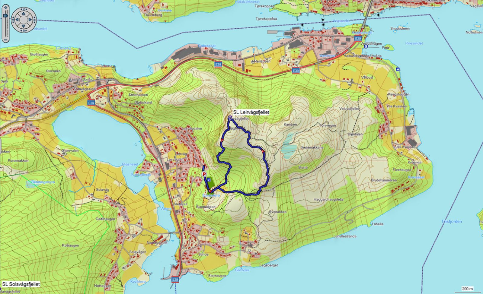
On this circular trail, you will get to enjoy a fantastic view almost the entire time. Depending on the route you choose, you will either get a steep ascent or a steep descent. There are ropes to hold on to through the most demanding sections. You can also choose to go up and down the same way.
Start walking from the car park by the sports ground of Sundsmyra Idrettspark and continue along the path that leads up to the peak of Leirvågfjellet. You can either follow a circular route or go the same way up and down if you want. The trail traverses through a scenic landscape, following a clear path where all junctions are marked. There are many wet sections, so good hiking shoes are recommended.
You can use the car park of Sundsmyra Idrettspark at the end of Leivågvegen Road. No parking fee.
Duration
1 t. 15 min.

Sesong
Spring, Summer, Autumn
Signage
Both signed and marked
| Surface type |
Distance |
| Sti |
2 |
10076 Hiking map of Ålesund, Norge map series
 Driving directions
 Route data
GeoJSON