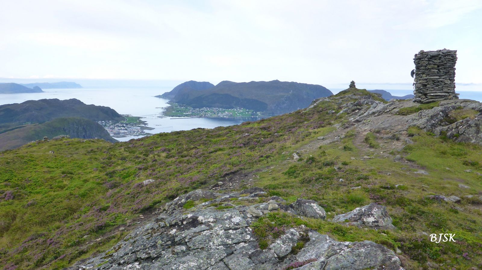
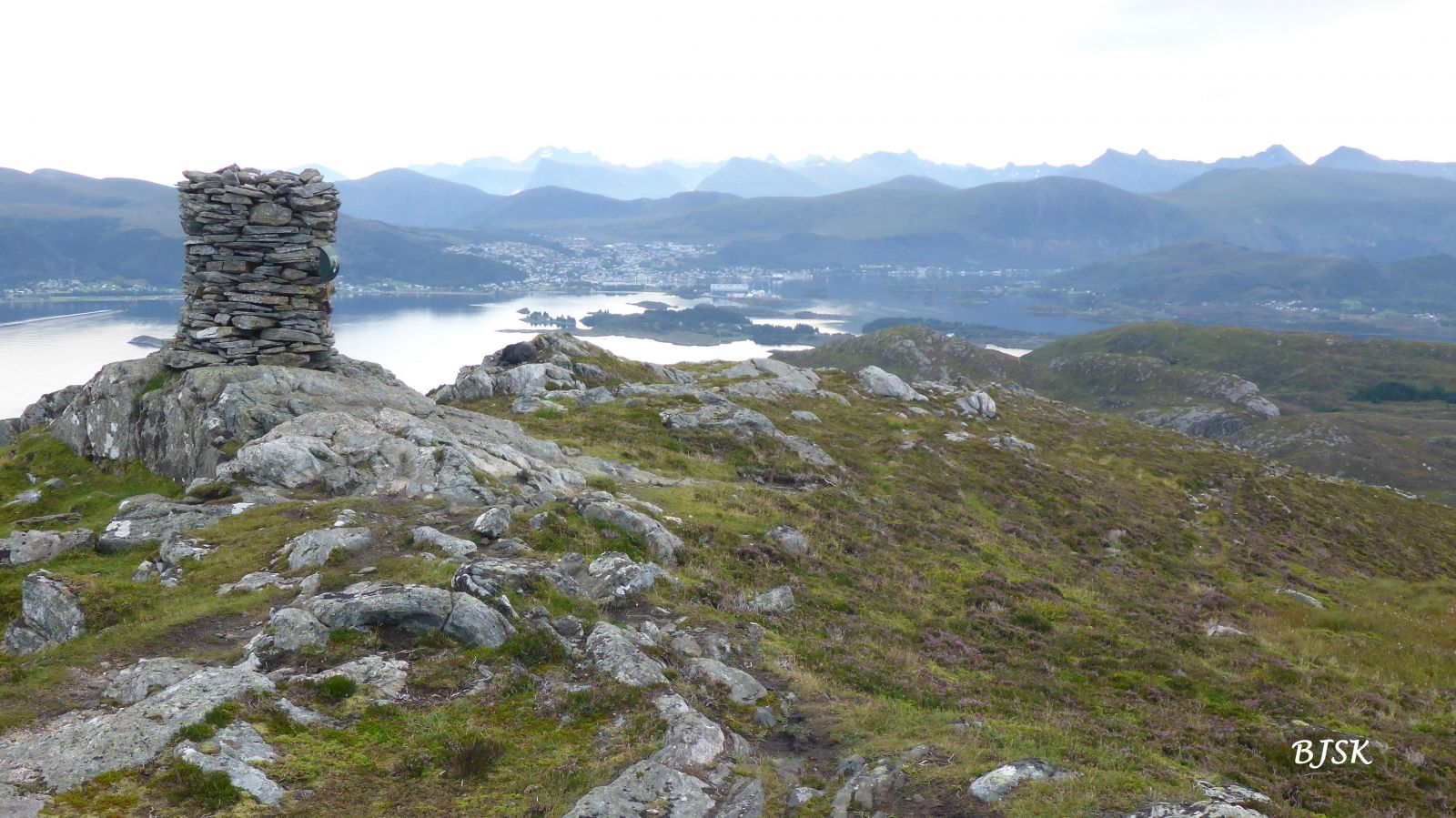
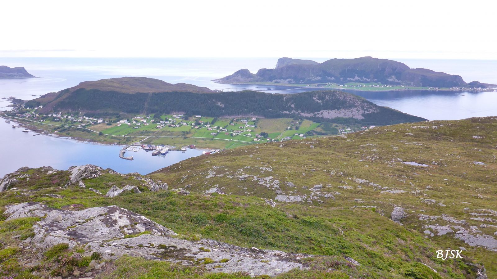
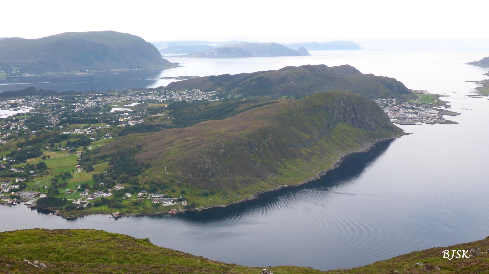
Leinehornet is the highest peak on the island of Leinøya, so you will have a great view of the other islands in Herøy Municipality from here. Ulsteinvik and the mountains in Ulstein Municipality are also clearly seen from the peak.
The trail starts from the car park in Støylen. Walk up the field west of a double garage and continue along the right side of a barn. Follow the path as it turns northwest until you reach the top. The entire trail is well signposted.
Follow County Road 654 (FV654) in the direction of Fosnavåg. Turn off onto FV5876 Leinevegen and follow it for about 2 km. Turn right and follow a road marked as Leine for about 140 m. Turn left up Støylavegen Road and follow it for about 600 m until you reach a car park for 3 cars along the left side of the road.
Duration
1 t. 25 min.

Sesong
Spring, Summer, Autumn
| Surface type |
Distance |
| Sti |
2,8 |
Hiking map of Ytre Søre Sunnmøre, M 711 1119 IV, norgeskart.no
 Driving directions
 Route data
GeoJSON