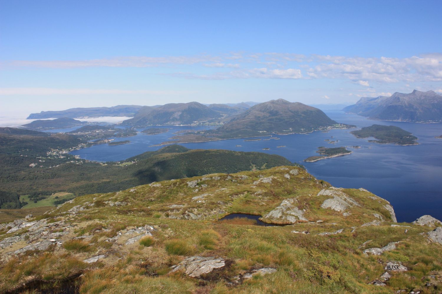
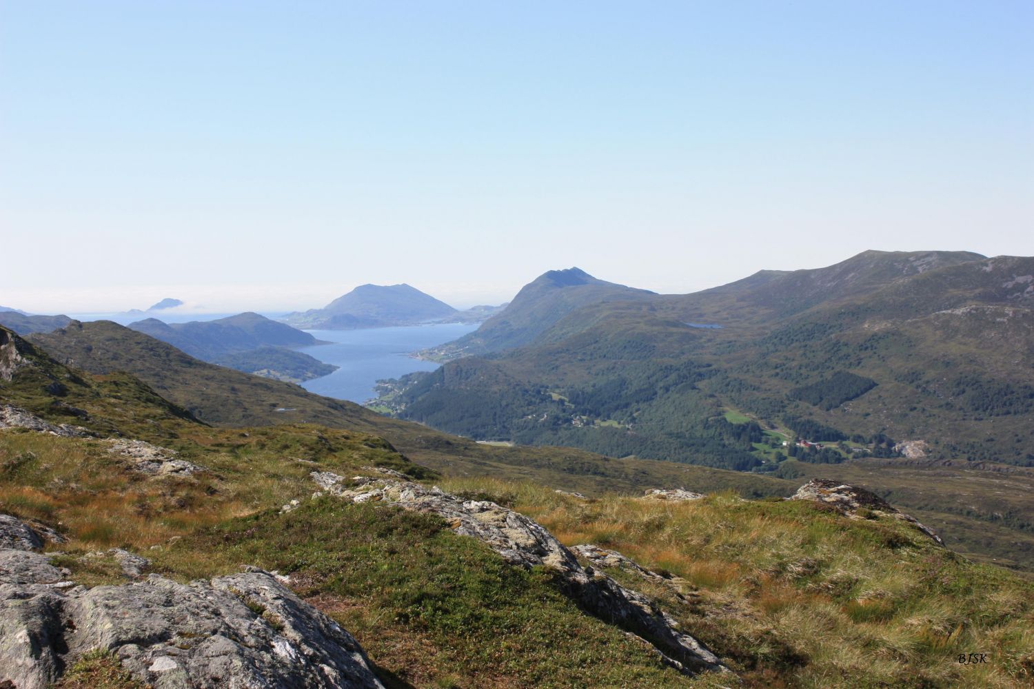
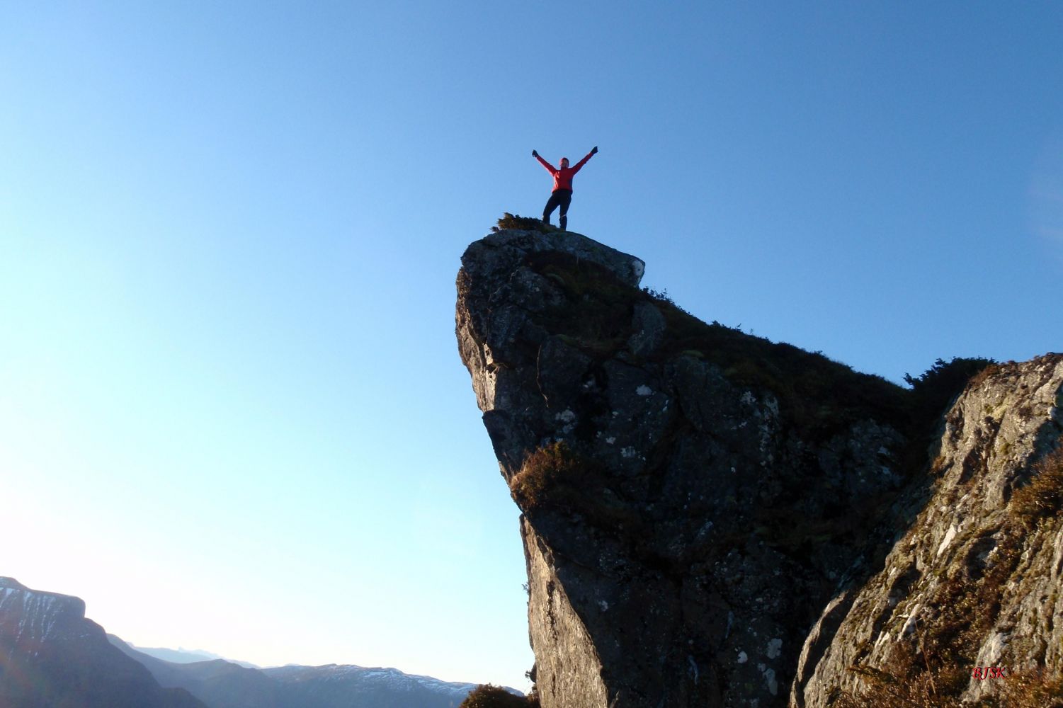
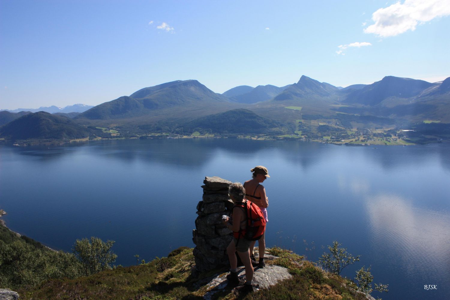
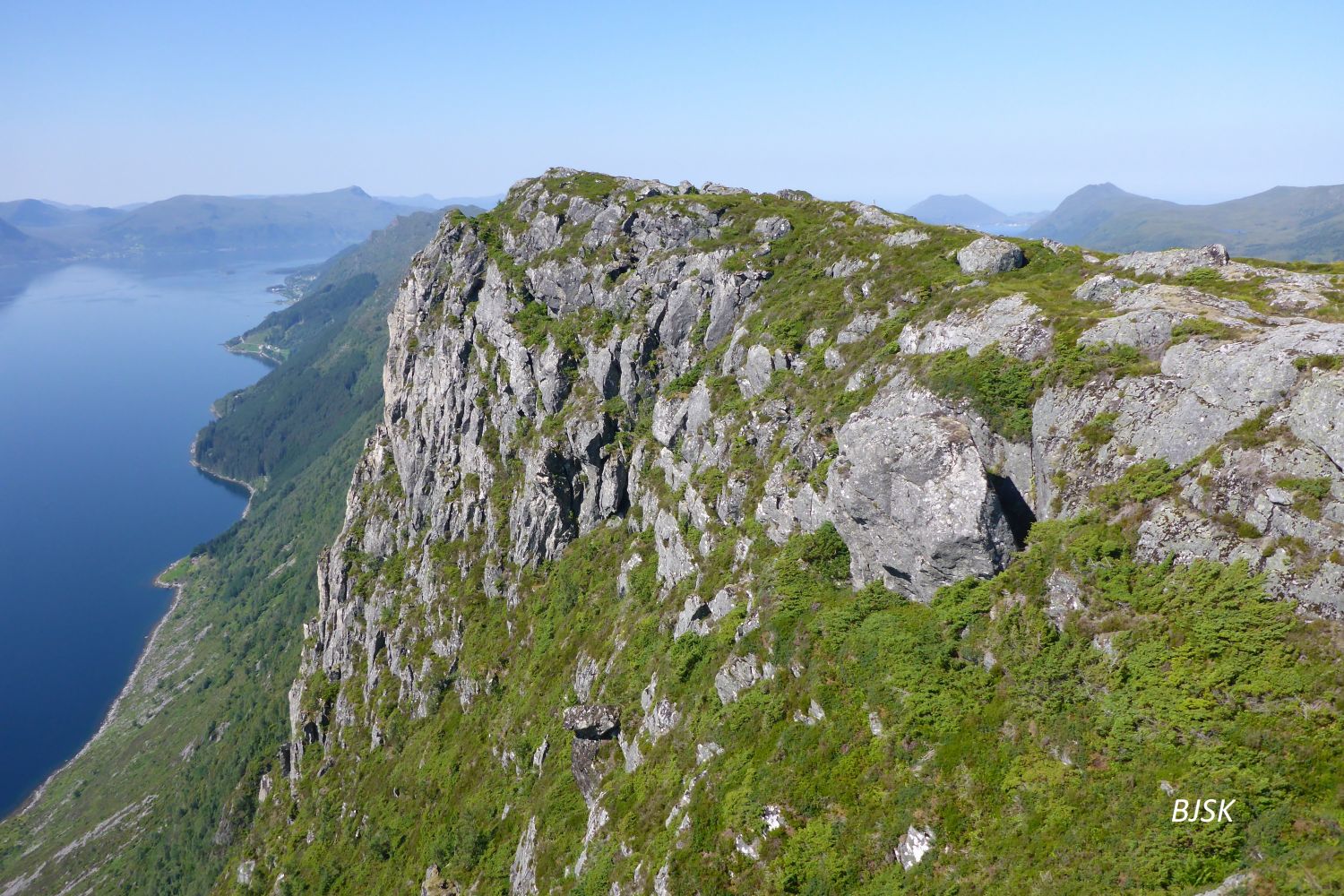
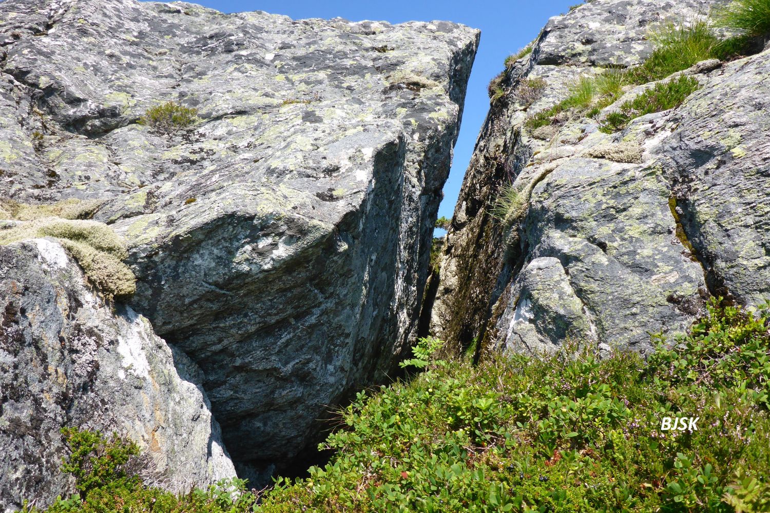
Mount Laupsnipa lies on the border of Herøy and Sande municipalities. It rises high above the Rovdefjord and offers a fantastic panoramic view. The Gurskøy Sports Association (Gurskøy IL) has a fitness trail post on Laupsnipa. Most people access this peak from Voldneset (please see the trail description Laupsnipa, Herøy Municipality), but if you want to experience some breathtaking views, we recommend taking the Sande route. You will then see both Laupskeipen and the area between Laupskeipen and Laupsnipa where the steep mountain sides go almost straight down into the ocean. About halfway between Laupsnipa and Laupskeipen, you will also see a 40 m long crevice, which shows that the area is in motion and about 2 million cubic metres of rock will one day crush into the fjord below.
The trail starts in Tødeneset from the garage on the upper side of the road. Follow the path that climbs steeply up through the forest. Note that there are many deer trails in the area, which can be confusing. Walk over the rocks after you come out of the forest. There are stone stairs here which make it easier to walk. The path comes up to the southeast end of Lake Slokevatnet, goes up to a cabin, and continues on the east side of the cabin. About 200 m above the cabin, there is a cairn on the edge of the mountain, which may be worth taking a detour to enjoy the spectacular view of the Rovdefjord. Continue following the path up the mountain side until you reach a marsh before Lake Tempelvatnet. Turn right and follow the path east and up the ridge until you come to Laupskeipen. Be careful on Laupskeipen because the south side of the mountain is very steep. From Laupskeipen, follow the path along the north side of the highest ridge all the way up to Laupsnipa. If you want to walk through the scenic area between Laupskeipen and Laupsnipa, go all the way down to the southern edge of the ridge. Be careful – the mountain side is very steep. It is also possible to start this hike from Almestad and meet the path by Lake Slokevatnet, please see the description of the Slokevatnet trail.
Turn off County Road 61 (FV61) at the Årvik ferry terminal and drive east for about 4 km until you reach Tødeneset. You will see a garage on the upper side of the road next to the last house in the village. There is parking space for 2 cars on the south side of the road.
Duration
3 t. 55 min.

Sesong
Spring, Summer, Autumn
Signage
Both signed and marked
| Surface type |
Distance |
| Grus |
1,5 |
| Sti |
8,2 |
Hiking map of Ytre Søre Sunnmøre, M711 1119 II and III, Sunnmorskart.no
 Driving directions
 Route data
GeoJSON