Norsk

Laupen

Fjord

The trail at a glance

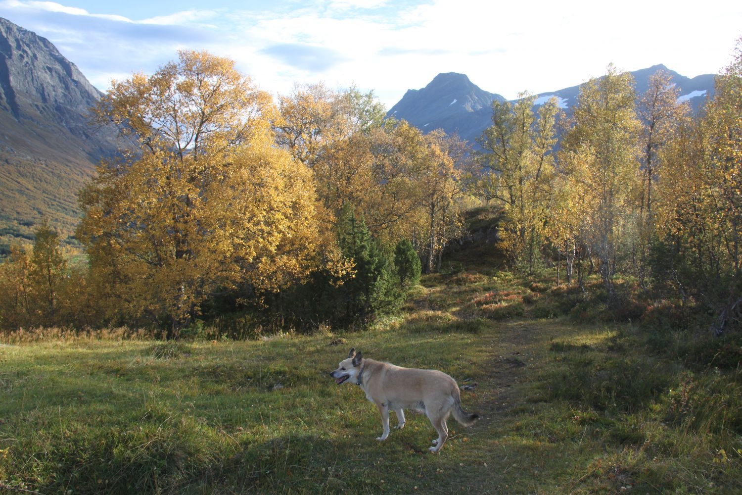
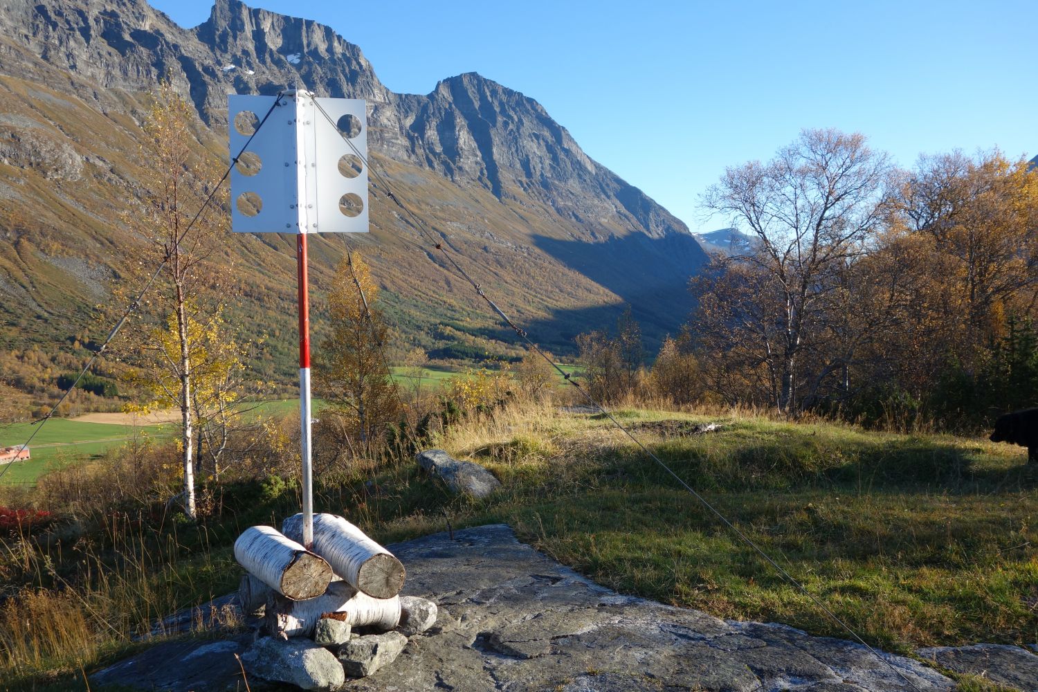
This is a nice trail through the upper part of the Eidsdal valley. The trail starts from Lake Eidsvatnet (425 m a.s.l.) and takes you to the viewing point called Laupen loacted at 631 m a.s.l. It is also possible to start the trail from the clubhouse in Løvoll (550 m a.s.l.) or follow a looped trail. The trail is also waymarked as “Folkesti”, the trail maintained by the National Association for Public Health.The entire looped trail/Folkesti is about 6 km long. About half of this distance is a path through the terrain. The trail is signposted and marked along the way. Once you reach Haugane (in the direction of Eide), you can enjoy the view from two viewing points and use benches to rest on. The view of the cultural landscape by Lake Eidsvatnet is really beautiful. A Sami hut owned by the Eidsdal Sports Association is located at Laupen. Everyone can use the hut and stay here overnight. Please clean the hut after yourself and take the rubbish home with you.A tourist map of this trail has been made by the Outdoor Council for Ålesund and the Surrounding Area. Please see the link below.

Route description

The trail starts from the car park and the rest area of the Norwegian Public Roads Administration. Cross the main road and follow a farm road for a little while before you turn off to the right and walk up through the terrain. Follow the path as it climbs up into the forest and goes along its edge. Keep to the left where the path meets the ski trail. You will find a Stikk Ut checkpoint at Laupen which is the highest point on Haugane, the hillside where the ski trail runs. You will get a view over large parts of the Eidsdal valley from here, as well as a view of the fjord. If you start from the clubhouse, turn off from the road at the sign and follow the path along the ski trail as it takes you south towards Eide. From there, walk up to the Sami hut and the viewing point. The path is signposted from the highest point in the ski trail, and it will take you about 5–10 minutes to walk.

Access and parking

The trail starts from the car park and the rest area at the northern end of Lake Eidsvatnet in Eidsdal (10 km from Eidsdal ferry terminal).

You can park your car at the car park and the rest area owned by the Norwegian Public Roads Administration at the northern end of Lake Eidsvatnet. You will also find an information board where you can learn about the Folkestien trail and other hiking destinations in the area. If you choose to start walking from Løvoll, you can park your car next to the clubhouse.
Hiking route
Green
Elevation
217 m
Duration
2 t. 15 min.
Sesong
Spring, Summer, Autumn
Highest Point
629 masl
Signage
Both signed and marked
Mobile coverage

Map route

Surface type Distance
Asfalt 0,2

Public transport

Take the bus in the direction of Eidsdal/Geiranger. The closest bus stop is called “Eide ved kryss til Kleiva” (“Eide at the junction to Kleiva”). Follow the walkway for about 500 metres from the bus stop back to the car park and the rest area (if you are coming from the centre of Eidsdal). To check the bus routes, please go to http://www.frammr.no or call 177.

Map

Norddal tourist map 1:50 000

Link to route description

Friluftsrådet sitt turkort for Eidsvatnet og Folkestien: https://www.friluftsraadet.no/site/img/200104/Norddal-2.pdf
Driving directions

API endpoints

Route data GeoJSON