Langvatnet lake in Hatle, Hustadvika
Hustadvika
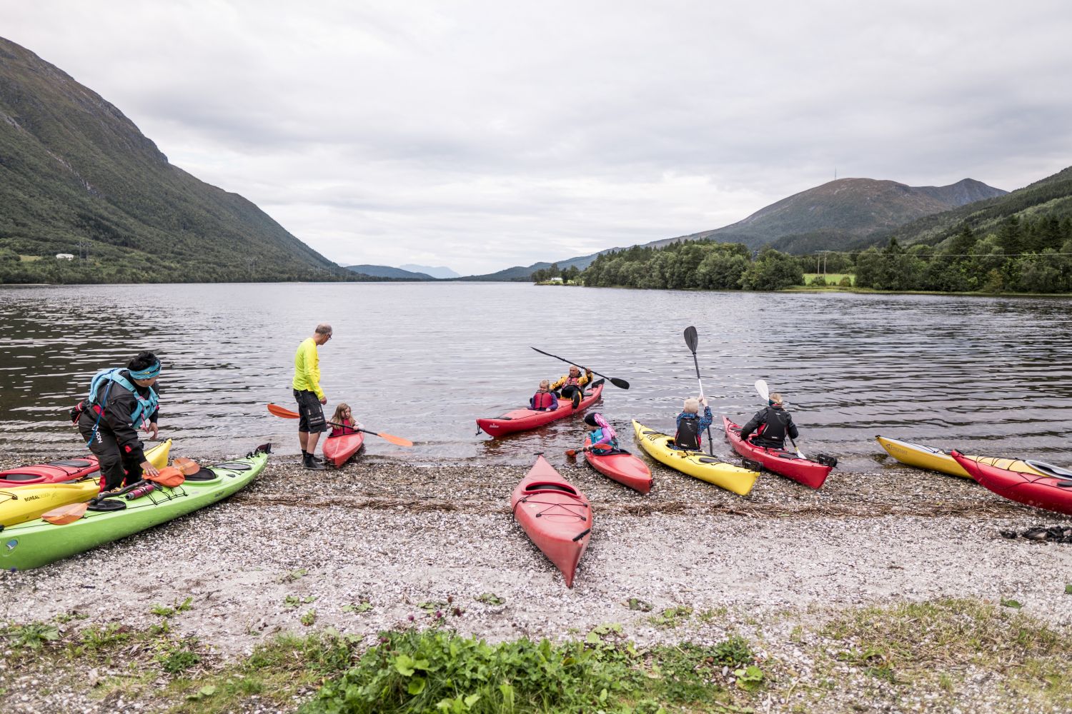
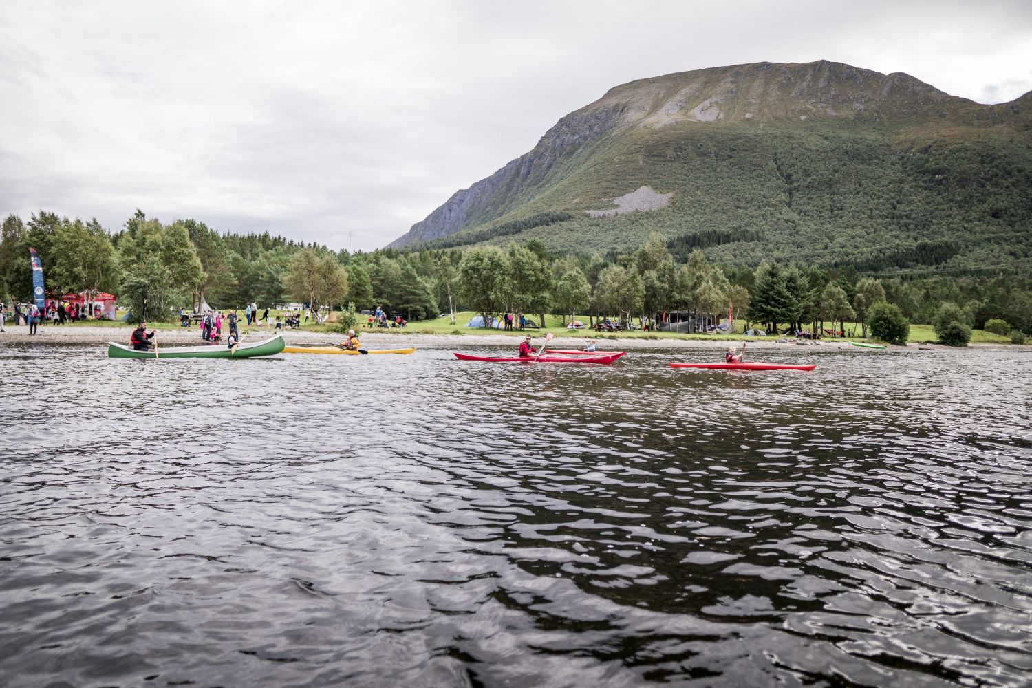
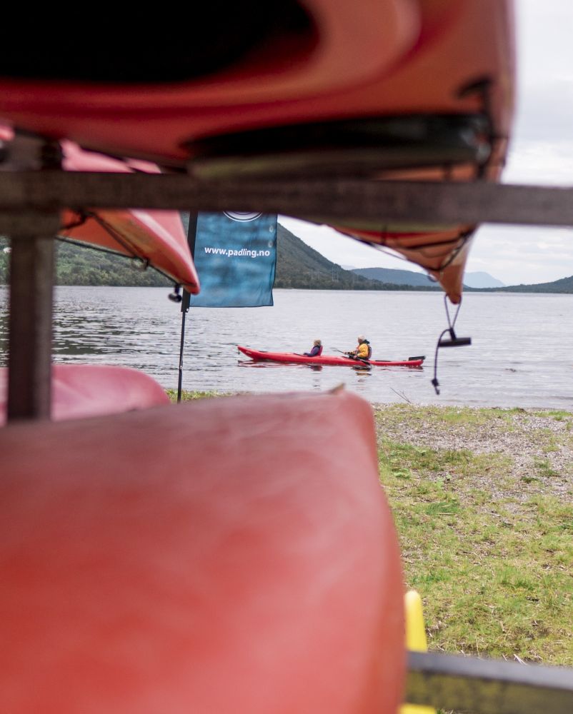
The paddling route around Langvatnet is a nice round trip in calm waters. At the end of the lake is a public recreation area with good facilities, and it is easy to launch from the beach. The paddling route takes about two hours, depending on how long you want to make it. There is an idyllic natural landscape around the lake surrounded by towering mountains and stunning views.
Start the route from the swimming beach and continue around Langvatnet. There is a nice islet halfway around which is a great place for paddling. You can also go ashore here for a break.
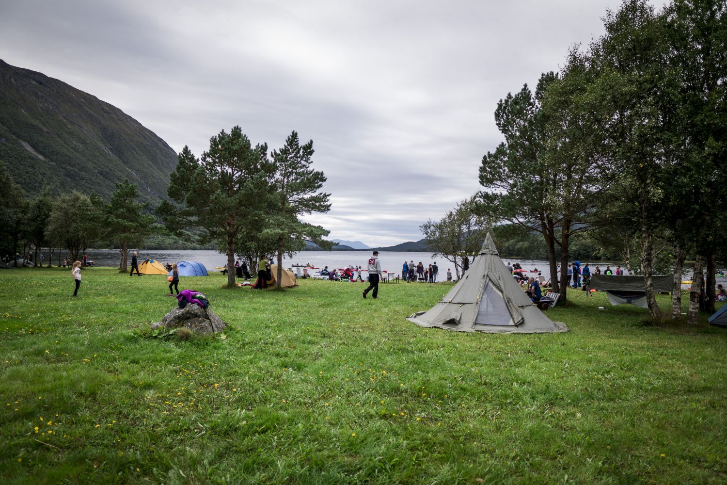
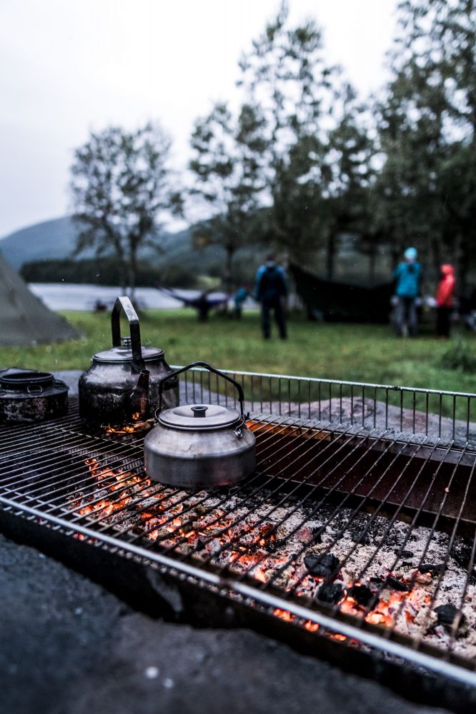
Langvatnet Friluftsområdet is a state-protected public recreation area with facilitated access, free parking and a beach for swimming. The area has a lean-to and campfire pits that everyone can use. Langvatnet is one of the many freshwater lakes in Hustadvassdraget.
Exit to Langvatnet at Hatle near Tverrfjell, from Fv 663, between Elnesvågen and Farstad.
Duration
2 t. 10 min.

Sesong
Spring, Summer, Autumn
There is a bus between Elnesvågen and Farstad. Check fram.no
The route leads through sheltered waters and you can paddle close to land almost the entire way. There are a couple of crossings where you can stay relatively close to land.
 Driving directions
 Route data
GeoJSON