Along Neslandet to Nesøya
Sunndal
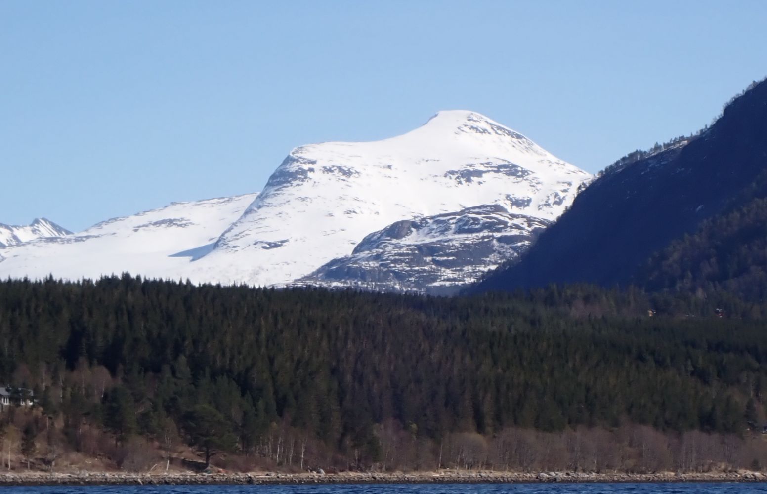
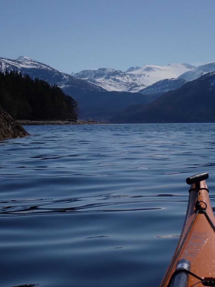
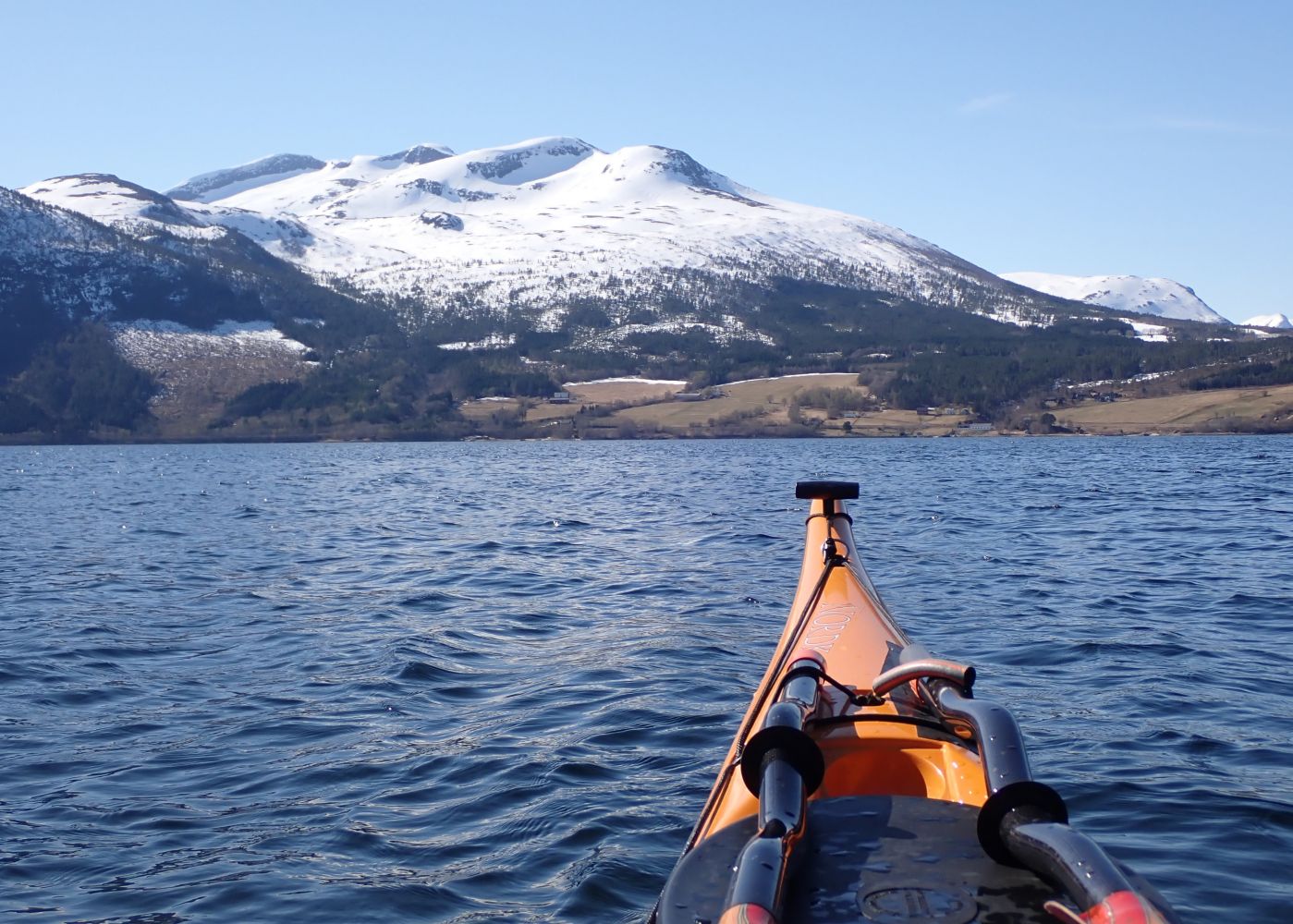
The route leads along idyllic Neslandet with many great places to go ashore. On this route, you will be able to paddle along the shoreline the entire way, and pulling up on land along this route is generally easy. Be cautious of strong winds from the southeast that may cause gusts in Ålvundfjorden. There is also a fair amount of boat traffic.
From the beach by the leisure boat harbour furthest in Ålvundfjord, you will paddle along land in a north-northwest direction. Along the first four kilometres the shoreline is quite populated, but later the houses and cabins are sparser and it will be easier to find undisturbed places to go ashore.
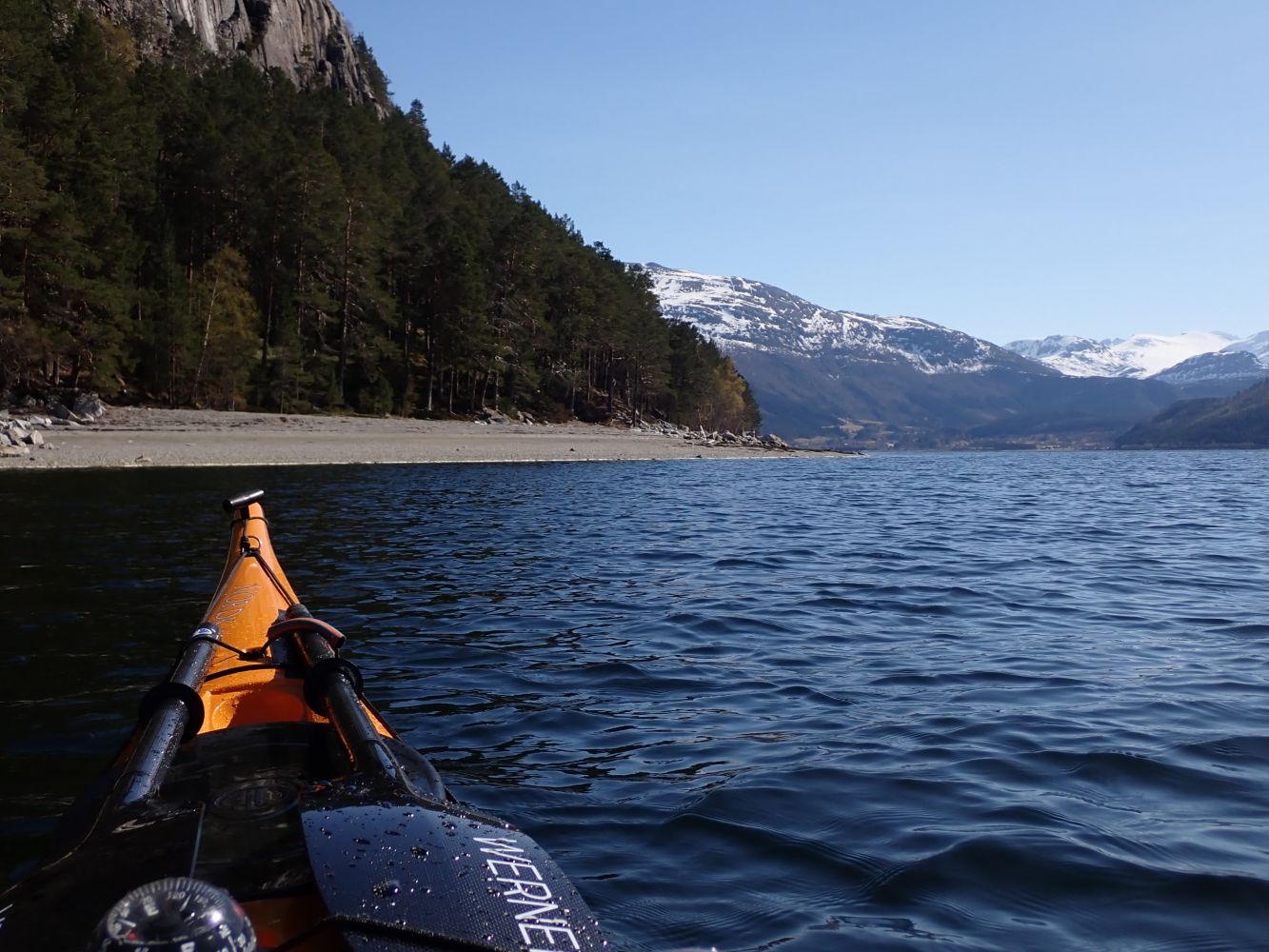
Just before the cabin development in Ørsvikan, there is a nice pebble beach. When you arrive at Nesøya island, you can continue the route around Nesøya if you wish. You can choose to go ashore at the leisure boat harbour on the east side of Nesøya or continue the pleasant route back to the beach by the Ålvundfjord leisure boat harbour.
The route starts at the innermost part of the Ålvundfjord. You can launch your kayak from the beach next to the Ålvundfjord leisure boat harbour. The sports facility located here has plenty of parking space and public toilets. On Nesøya, you can pull your kayak up at the Nesøya Boat Association's facility. Nesøya Boat Association welcomes paddlers but urges them to show consideration when parking.
Duration
5 t. 0 min

Sesong
Spring, Summer, Autumn
In calm weather, this is a route that is suitable for everyone. Be aware of strong winds from the southeast that can cause strong gusts in Ålvundfjord. Also be aware of boat traffic, as this is a popular area for leisure boats.
 Driving directions
 Route data
GeoJSON