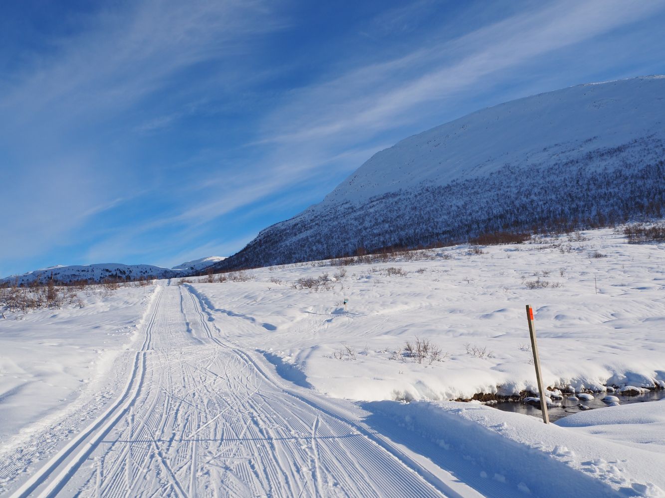
Langdalsosen from Skaret Skisenter
Hustadvika / Molde
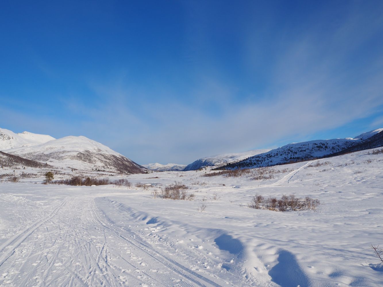
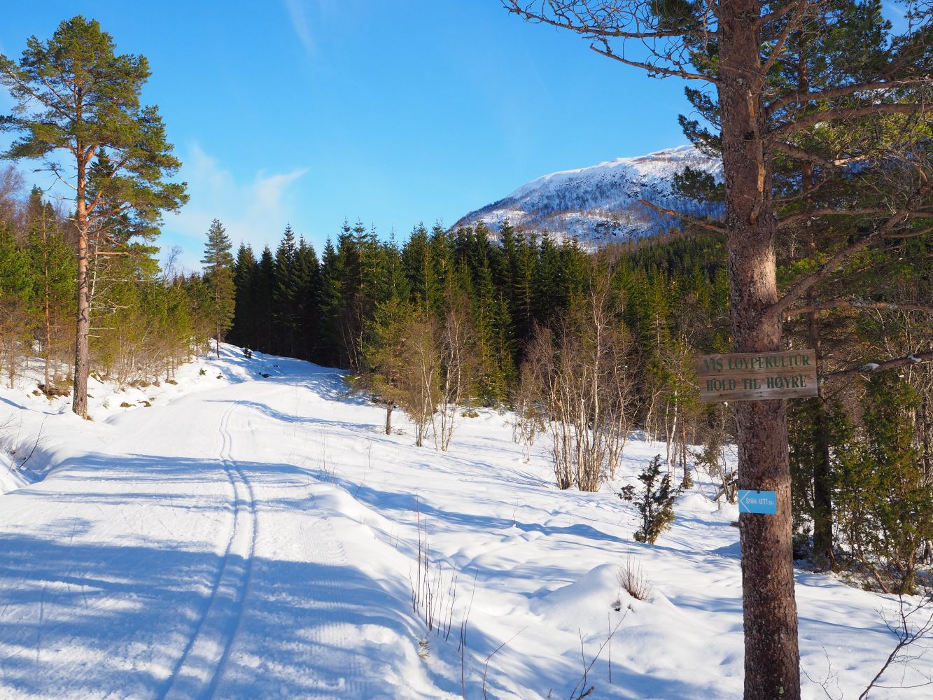
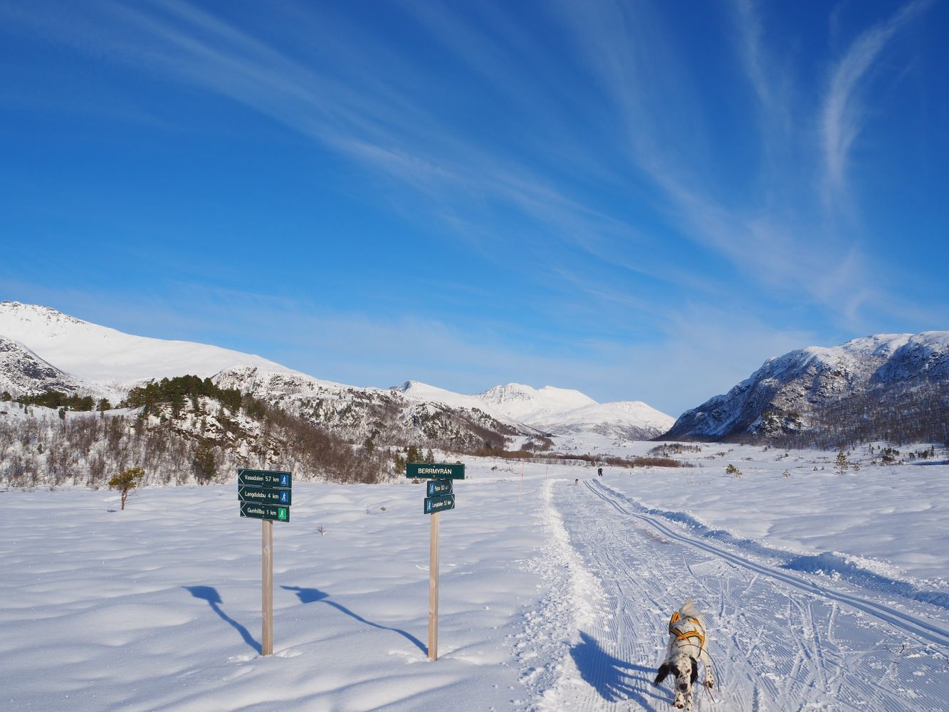
This scenic ski trip covers gentle terrain with groomed ski trails. The ski resort Skaret Skisenter is responsible for ski trail grooming. New trails are groomed at 11:00 a.m. on workdays and 8:00 a.m. on weekends. There are many alternative prepared ski trails with the starting point at the car park by the ski resort. Once you enter the Langdalsosen area, the most common route is either to follow the ski trail up the Vassdalen Valley and the same way back or follow the ski trail on the southern side of Lake Langdalsvannet and return to the initial ski trail in Berrmyrene. These can be two great loop trail alternatives.Intersections of ski trails are well signposted.
The ski trail runs from Skaret Skisenter along the Kordalen Valley up to the marshy area Berrmyrene and continues past Gunnilla and over the Langdalsreset area. From here, go down to Lake Langdalsvannet and follow the ski trail along the lake. You will find the trail postbox at the eastern end of the lake. You have several options for the return route. You can either follow the looped ski trail up the Vassdalen Valley and the same way back or cross the brook that runs from the lake by following the prepared ski trail over the bridge and then to the right along the southern side of Lake Langdalsvannet and Gunnilla until you reach Berrmyran. This is where you will come to a ski trail that leads down to the Kordalen Valley and back to the ski resort. The ski trail covers slightly hilly terrain. All intersections of ski trails are well signposted.
You can take a bus from the town to Skaret and get off at the ski resort Skaret Skisenter.

 Driving directions
 Route data