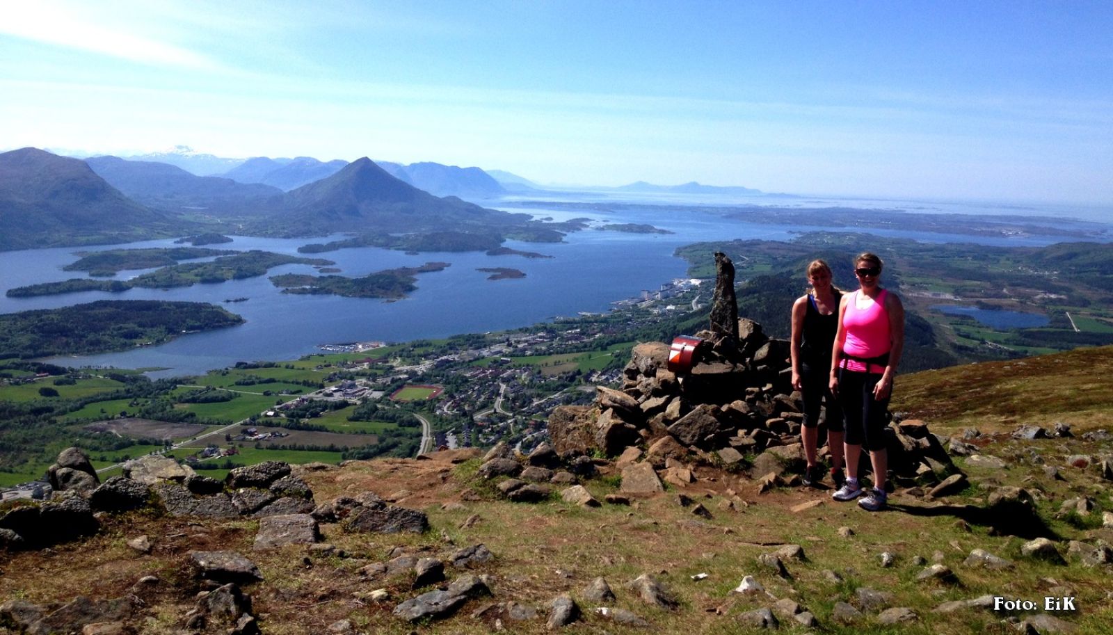
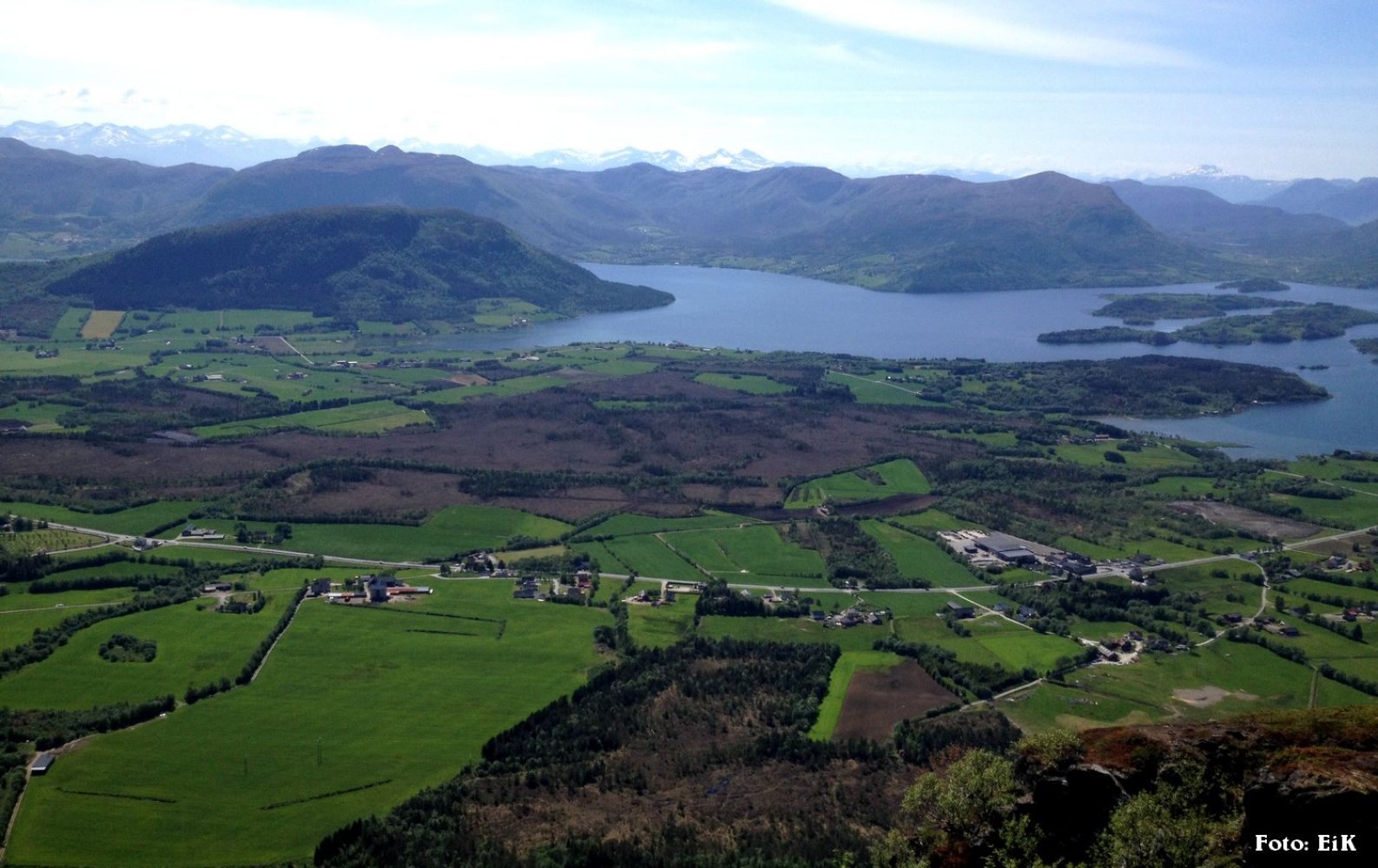
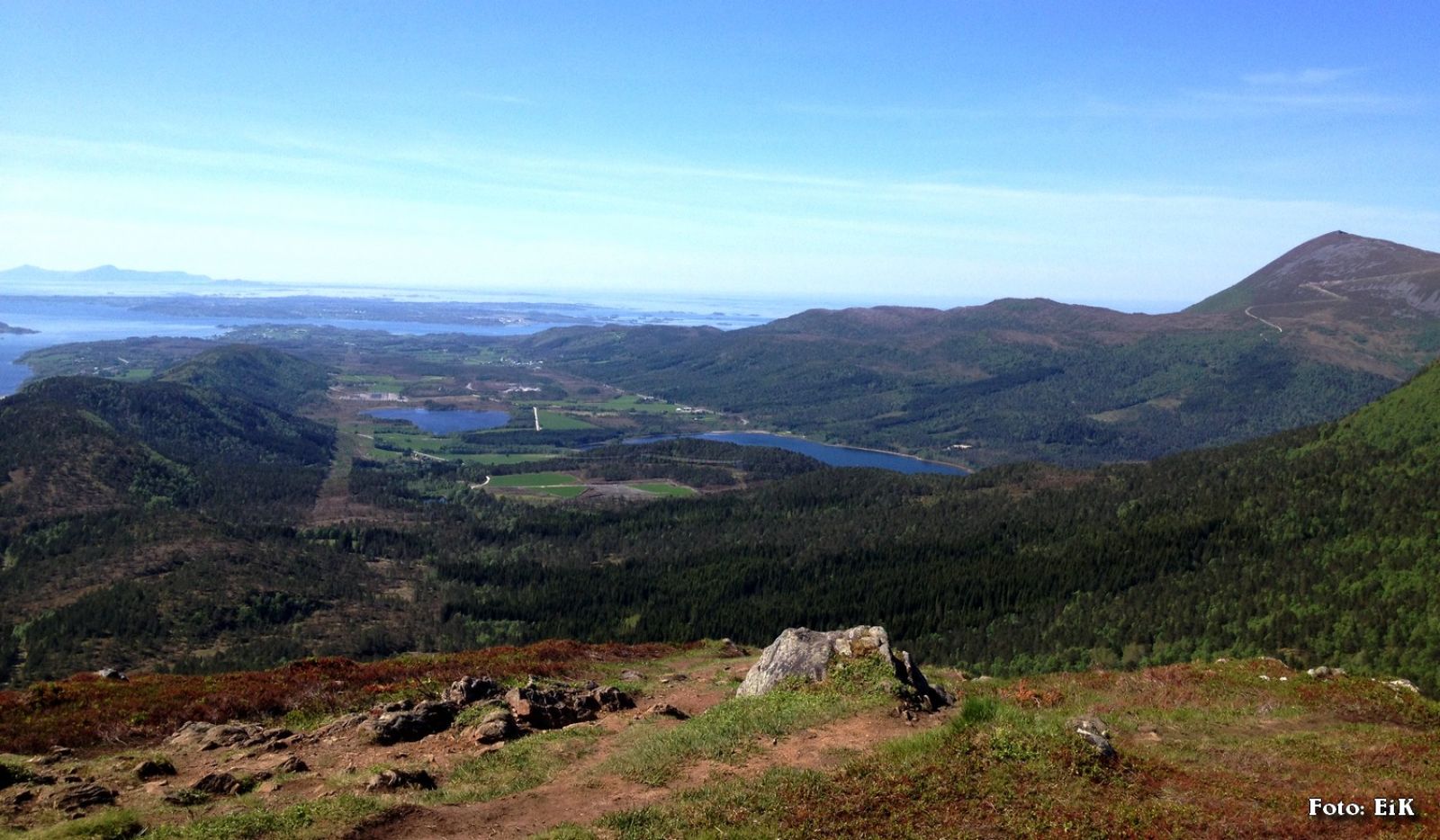
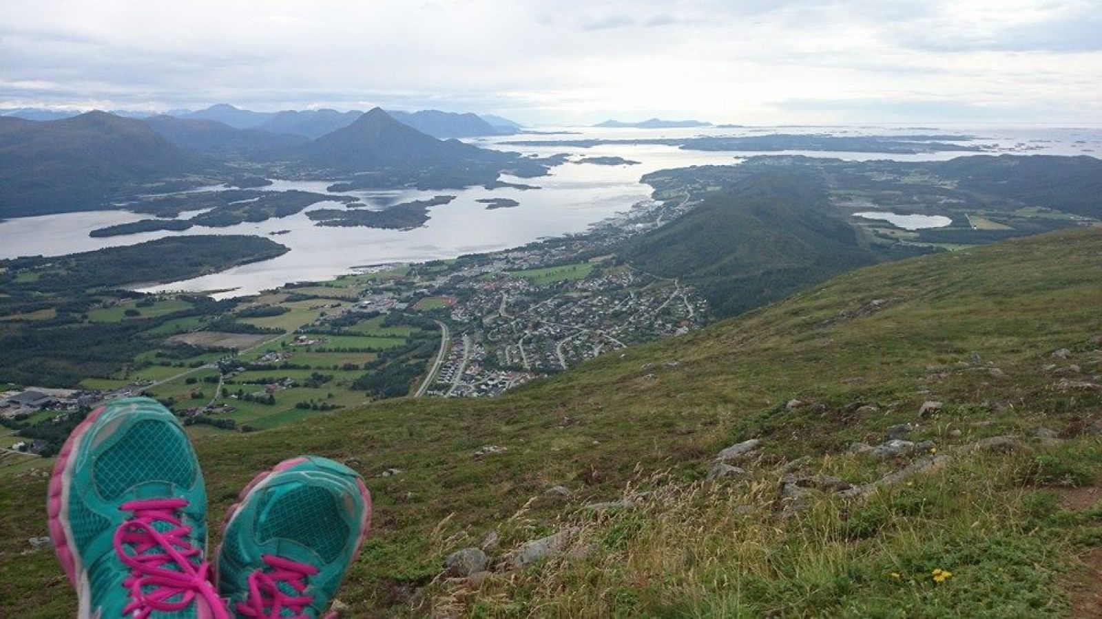
This trail takes you up to the mountain ridge behind Elnesvågen, the administrative centre of Fræna municipality. It offers a great view over Elnesvågen and the Fræna Fjord.
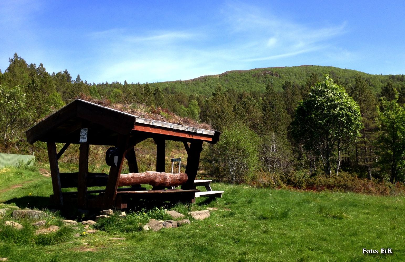
Start walking from the car park, go through the gate up towards the ski trail and follow it until you reach Hukåssetra. From here continue walking to the right of the water plant and up the hillside. Keep to the right while walking up the ridge all the way to the cairn at the top of Lågheia. You will find a cairn and a trail journal here.
Drive to the residential area just up from the centre of Elnesvågen and reach its left part along the Haugliveien road. Turn left onto Øvre Kongefaret and then right up Riddrebakken. The car park will be at the end of this street.
Car park in the upper part of Hauglia, at the end of Ridderbakken street.

 Driving directions
 Route data