Kyrnosa – Route 61
Vanylven
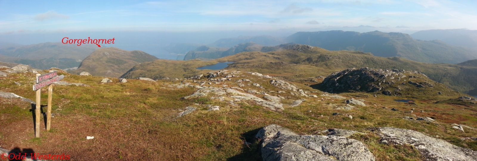
This is a relatively easy hike. Kyrnosa is a mountain peak on the border between the counties Møre og Romsdal and Sogn og Fjordane and a scenic viewing point. This hike can be combined with longer trails, either towards Gorgehornet/Tusentrinnstrappa/Skorge or Vaulsnipa and further towards Nyken and Tusshornet. Bekslevatnet right by the car park is a good fishing lake. The same applies to Lake Mevatna near the trail.
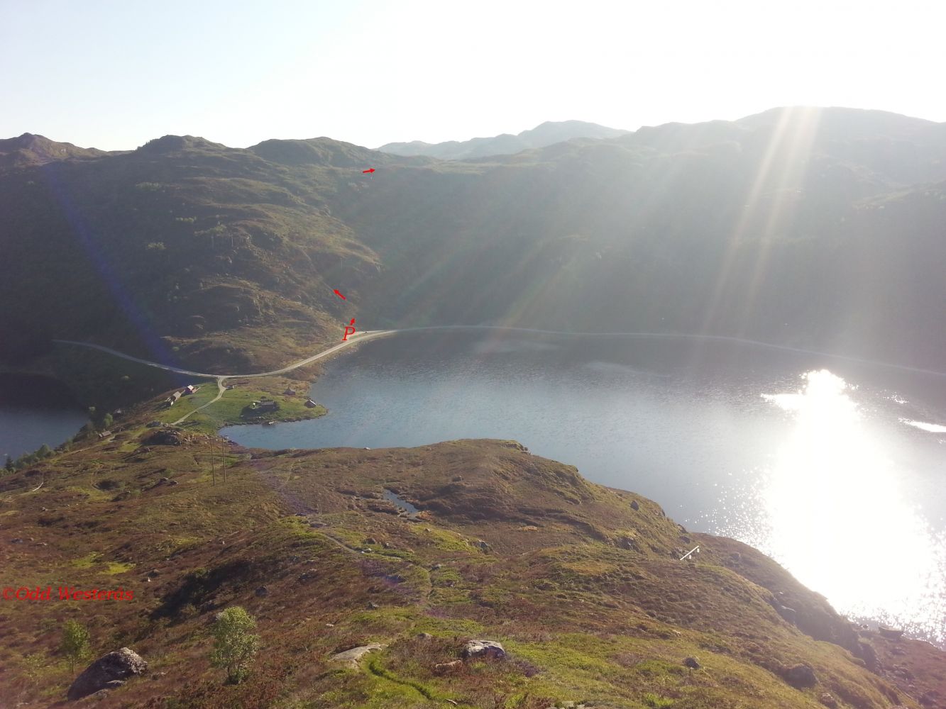
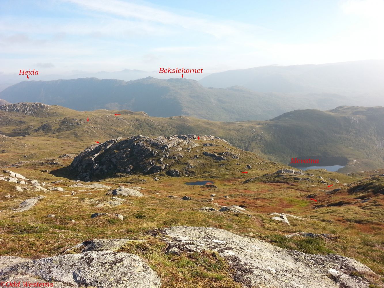
The trail starts from Skitnevika, along FV61 between Åheim and Bryggja/Maurstad. Park your car by the picnic area at the south end of Lake Bekslevatnet. You will see a sign showing the direction from the car park. Just after the start, go left and continue up a slightly steep gorge. The path is clearly seen and well marked. Walk straight up after the gorge and keep a little to the right. You will walk past the north side of Navehornet and Lake Mevatna and above the altitude of 538 m a.s.l. where you will see a sign for Vaulsnipa. Continue west from where you passed the altitude of 538 m a.s.l. and then slightly south before going west again as you ascend the ridge. You will be able to see the peak from the ridge.
From the junction in Åheim, follow County Road 61 (FV61) over the bridge in the direction of Måløy. The car park and the starting point of the trail are in Maurstadeidet, 7.3 km from the junction in Åheim at the south end of Lake Bekslevatnet. Park your car by the picnic area.
The car park at the start of the trail is well-maintained and free to use.
Duration
3 t. 40 min.

Sesong
Spring, Summer, Autumn
Signage
Both signed and marked
| Surface type |
Distance |
| Sti |
4,8 |
Hiking map: På tur i Vanylven (Eng. Hiking in Vanylven) – can be purchased at local shops and petrol stations in Vanylven Municipality.
 Driving directions
 Route data
GeoJSON