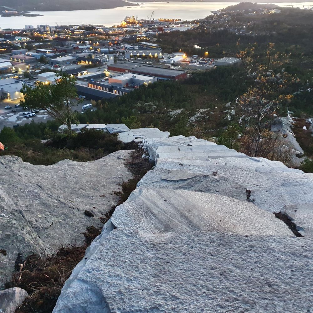
This trail starts from the car park and takes you up to the top of Kvernberget. Kvernberget is located in the outdoor area which is protected by the state. The area is called Røssern — Vollvatnet — Kvennberget. You can learn more about this outdoor area at
http://dnweb12.dirnat.no/nbinnsyn/asp/faktaark.asp?IID=FS00000315
Look for the wooden sign at the start of the trail. Do not walk past the boom gate, but follow the path which starts at the marked sign instead.
There are several route options from the car park. You can walk for 1.7 km to the Kvernberget airport, follow one of the two alternative routes to Torvhaugan, or walk for about 6.5 km around Mount Kvernberget.
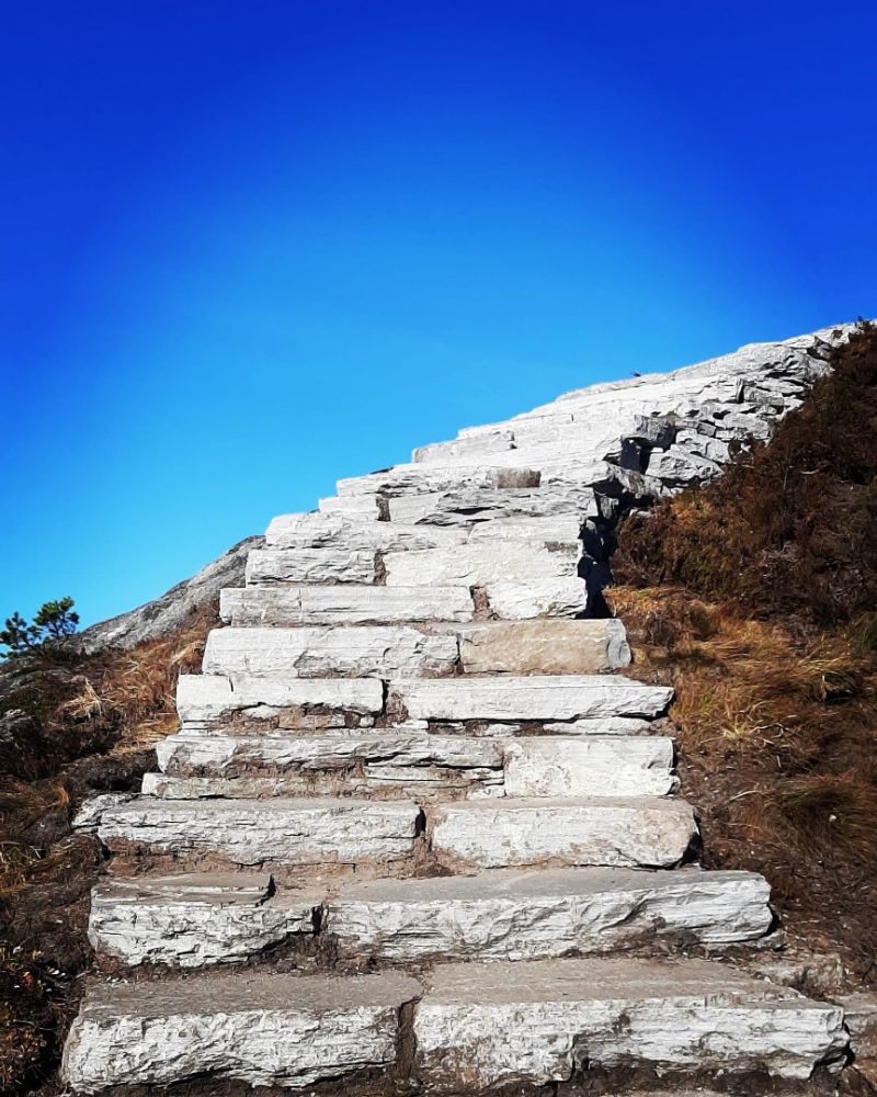
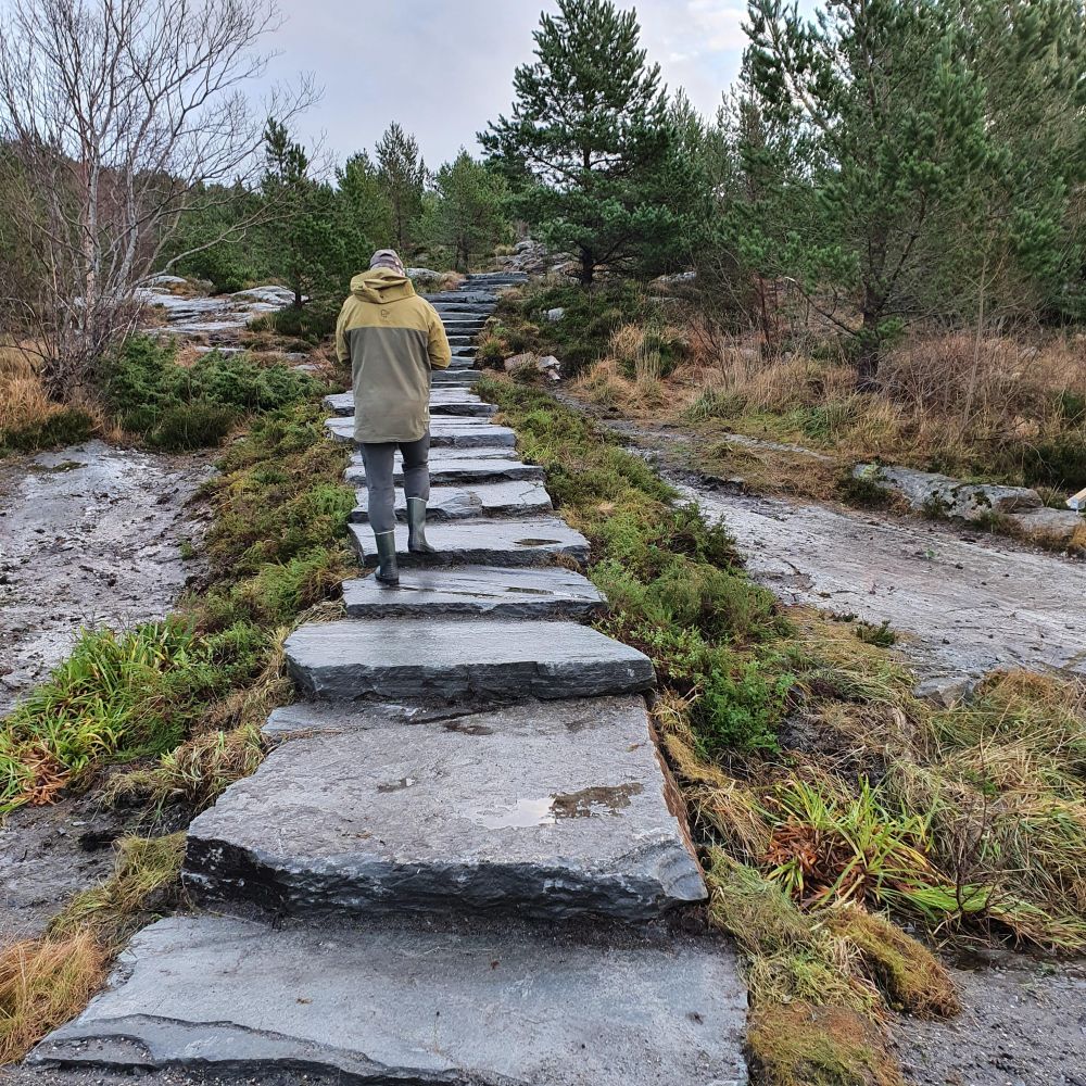
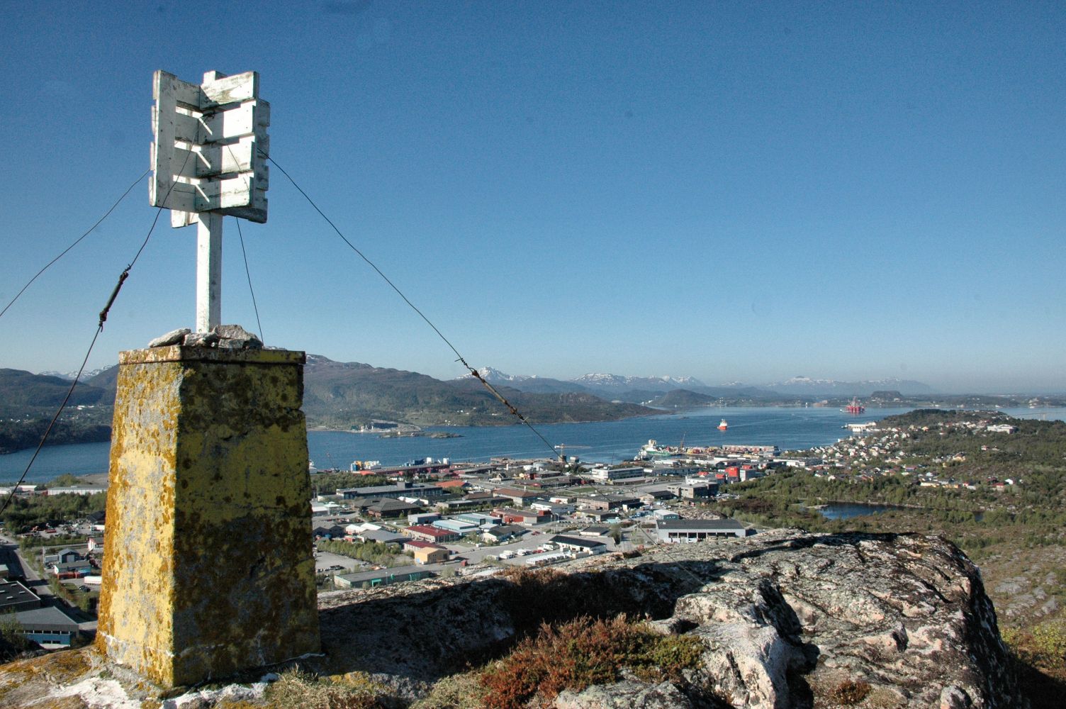
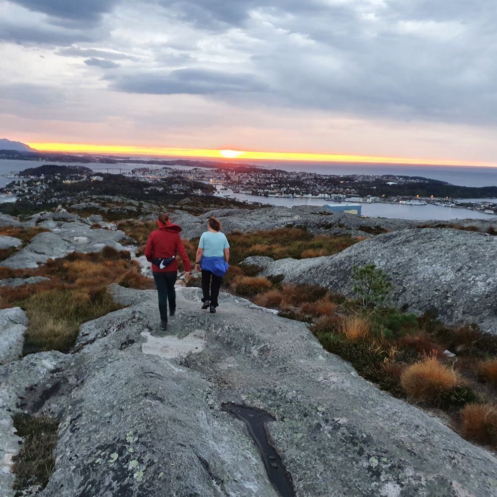
In this trail description you will find the directions for walking straight to the top of Kvernberget. You can see the top of Kvernberget from the starting point, and the well-trodden path is easy to follow all the way to the top. This is an easy hike. Some areas are a bit uneven. The trail is ascending slightly and gradually from the car park and up until the top. You will walk on smooth rock slopes for almost the entire trail. After about 300 metres from the car park, you will come to a fork in the path. Take the turn to the left. There will be some forest patches at the beginning of your walk, but you will soon leave the dense forest behind. As you walk, the city will be behind you, and you will see the top of Kvernberget above the beautiful smooth rock slopes. The top of Kvernberget is 204 m a.s.l. There is a trail postbox up here, so you can write your name in the journal.
National Road 70 (Rv70) is called Nordmørsveien. You are going to turn off from the roundabout at the Futura shopping centre in Løkkemyra. From Nordmørsveien road, turn onto Industriveien road. If you are coming from Kristiansund, this will be the turn to the left from the roundabout. If you are coming from Molde, this will be the turn to the right from the roundabout. Continue driving until the next roundabout and turn to the right. You will still be following Industriveien. Continue driving until the road ends at a T-junction. Take the left turn onto Rørgata street. Follow this street until it ends. You are now at the car park. The car park is at the start of the trail. Please read the description. No parking fee applies.

 Driving directions
 Route data