Norsk

Kvannfjellet

Hustadvika

The trail at a glance

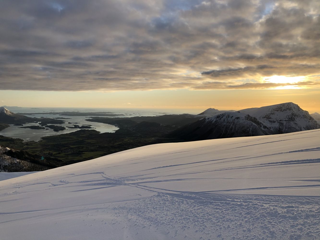
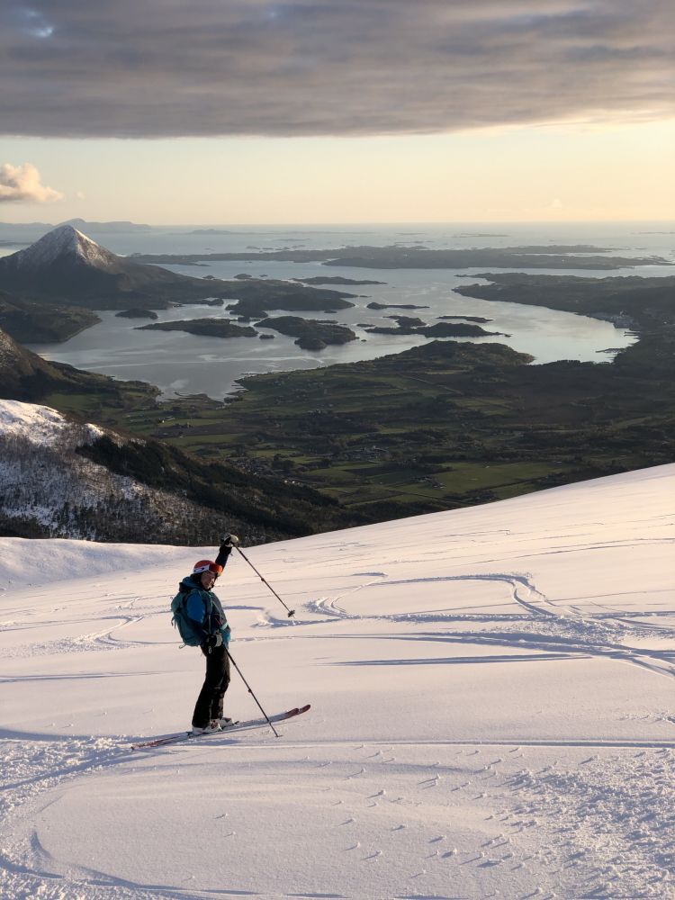
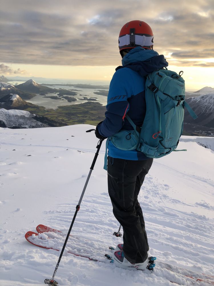
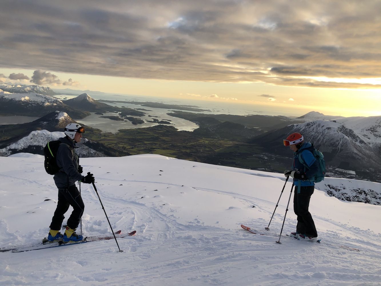
This scenic summit hike is perfect for skiing and offers a view of both the ocean and the Romsdal mountain range.

Route description

Go west/up from the car park. If there is snow, you may ski across the field. If not, please show your respect and move along the edge of the field. Go up between the plantations and curve along the western ridge of the mountain (to the right) until you reach the southwest side of the mountain. From here, the easiest option is to move northeast towards the top. On a day with good visibility, you can also ski towards the west ridge.

Access and parking

Follow national road 64 from Molde or Elnesvågen over Fræneidet in the direction of Eide. Take the right turn up Syltesetervegen Road (left turn if you are driving from Eide). You will see a sign for Syltesetra which is 1 km away. Follow the sign until you reach a large designated car park.
Skiing route
Blue topptur
Distance
8,07 km both ways
Elevation
790 m
Duration
2 t. 55 min.
Sesong
Winter, Spring
Highest Point
958 masl
Signage
No signage or markings

Map route

Driving directions

API endpoints

Route data GeoJSON