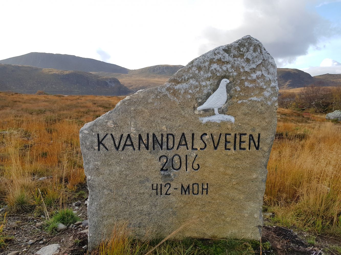
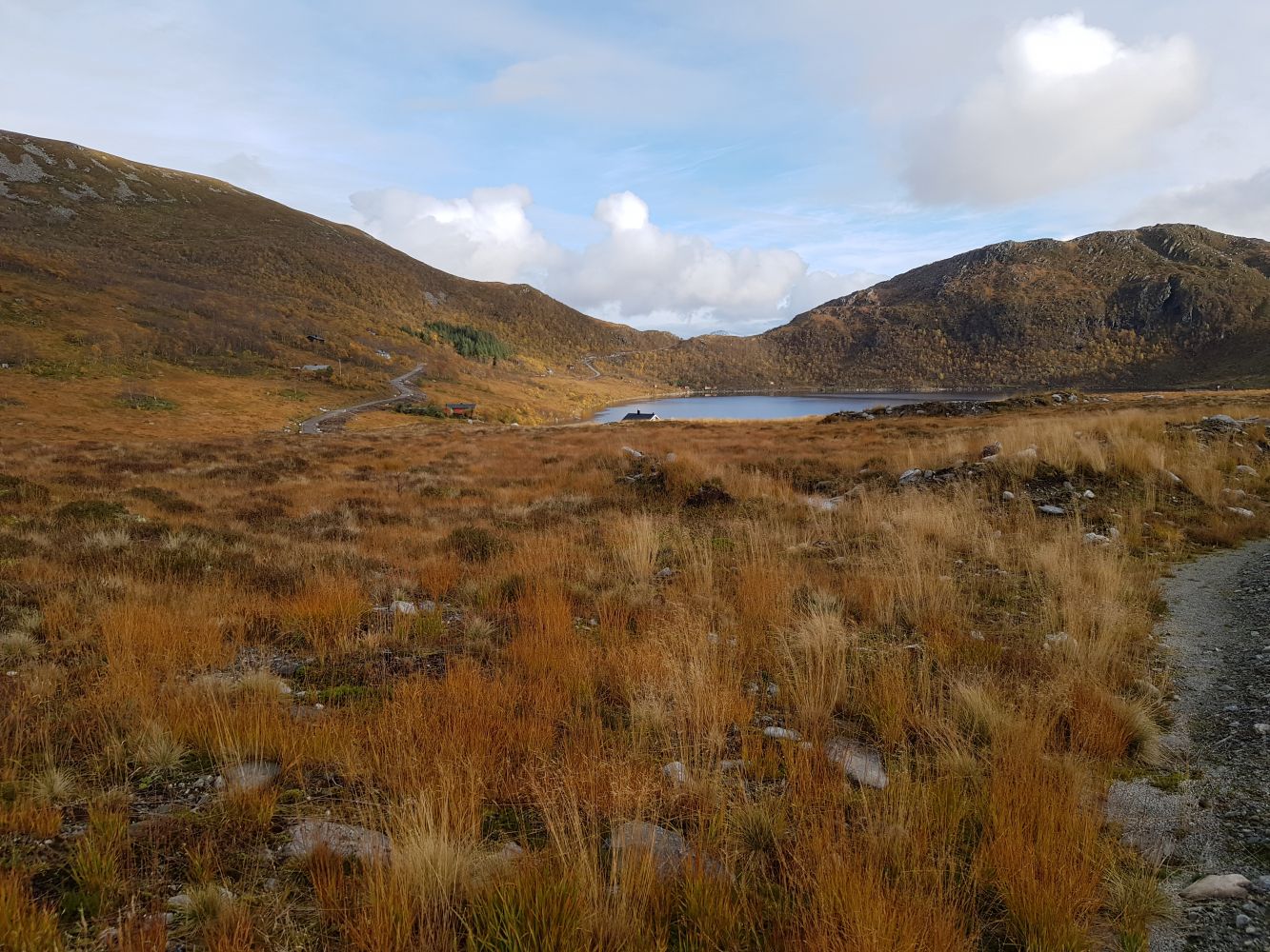
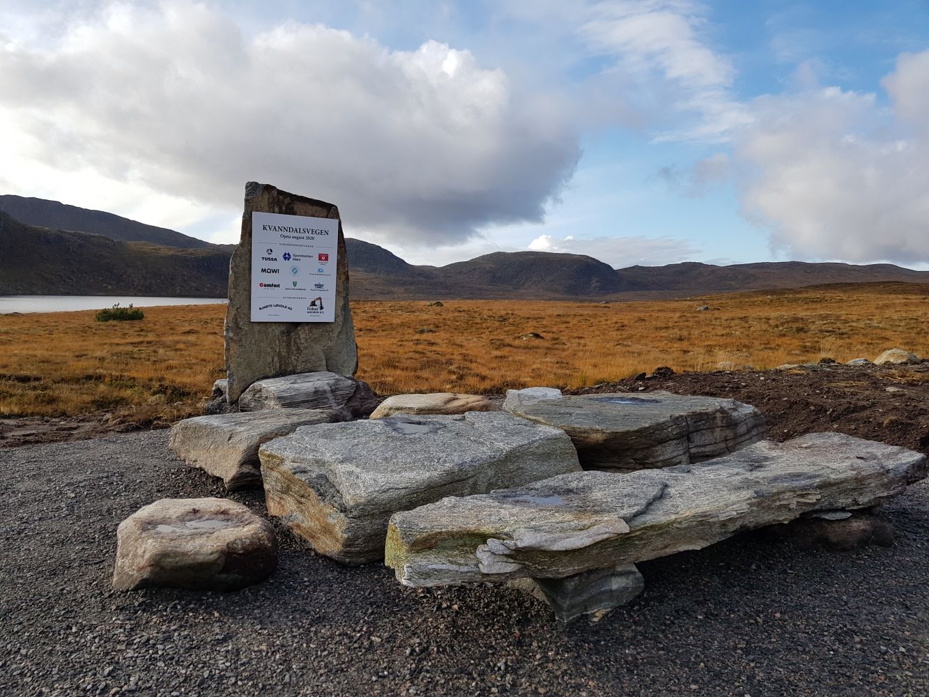
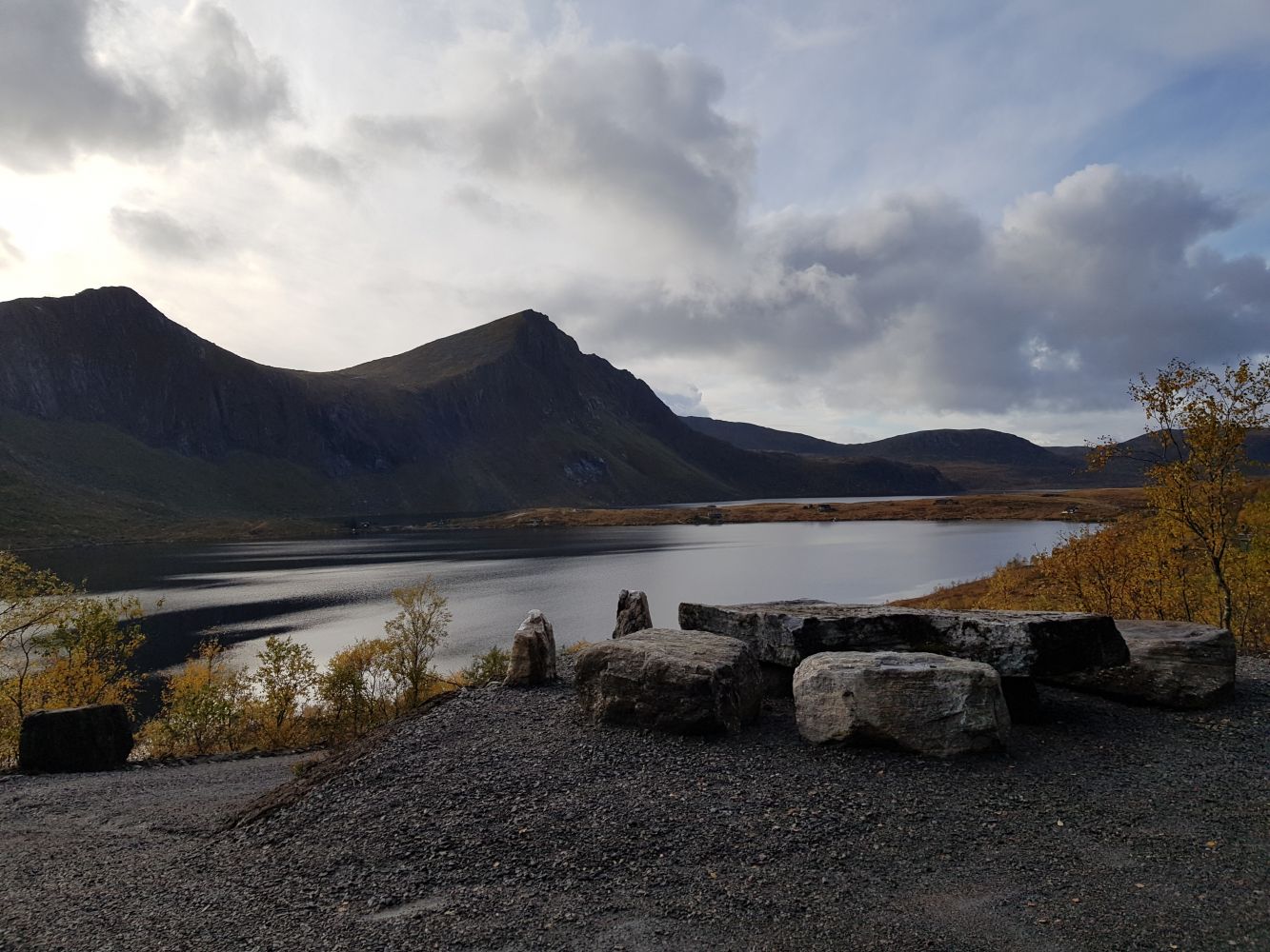
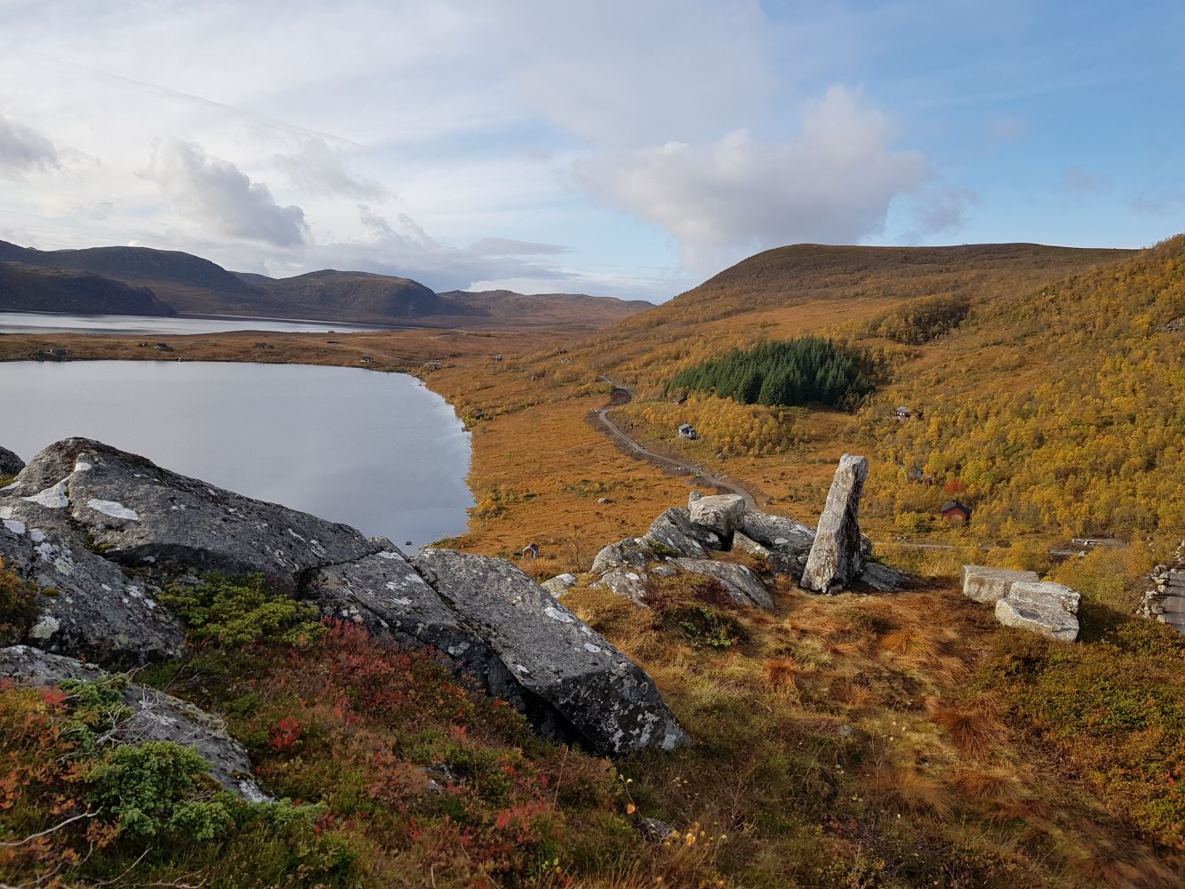
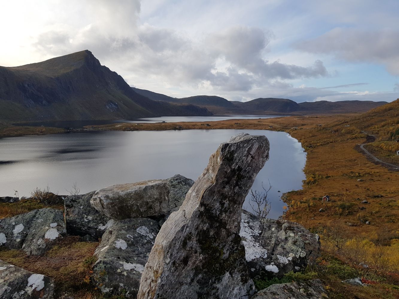
From the car park, the hiking trail runs south along the mountain ridge over Lake Børevatnet. The landscape is a combination of mountains and moorland. It is fairly open, and there are several scenic lakes along the trail. After about 1.6 km, you will come to a junction with a seating area and a sign with the information about who built the road. Here, you have two options. You can continue south for about 600 metres until the hiking trail ends at Trollekoppa, which is a bridge and a river mouth between the two lakes, Kvanndalsvatnet and Børevatnet. Alternatively, you can continue east along the hiking trail that gently ascends past the Ris mountain pasture and up a small steep hill until it reaches Kleivaskaret. The hiking trail ends here, but it is only 10 metres along a good-quality path to the viewing point on Kleivamannen. Here, there are several seating areas along the hiking trail. If you go to Kleivamannen and back, the length of the trail is just a little over what is considered “green” according to the level of difficulty. However, since you can choose for yourself how long you want to walk along the good-quality gravel road, this route is marked green instead of blue.
The area offers plenty of other circular routes or summit hikes that start from the same car park or from this hiking trail.
Drive up the toll road, Brandalsvegen, from Sørbrandal to Lake Børevatnet. You can either park your car near the river mouth in the lake or continue driving up a slightly steep hill until you reach the designated car park.

 Driving directions
 Route data