Kolgrovtua – Øyranakken, route 81
Vanylven
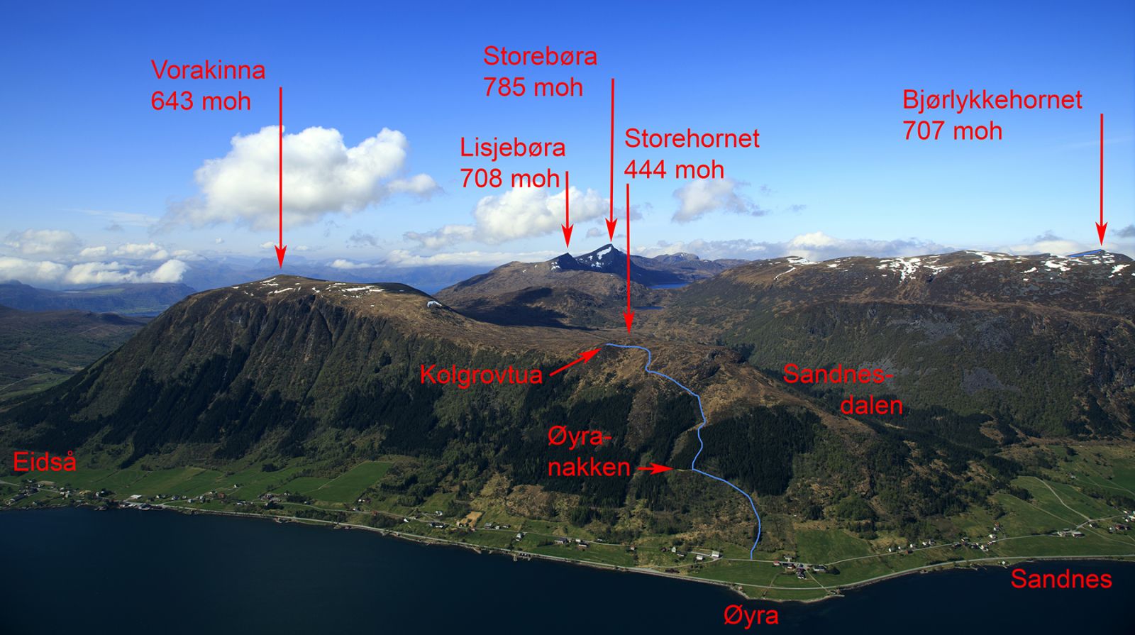
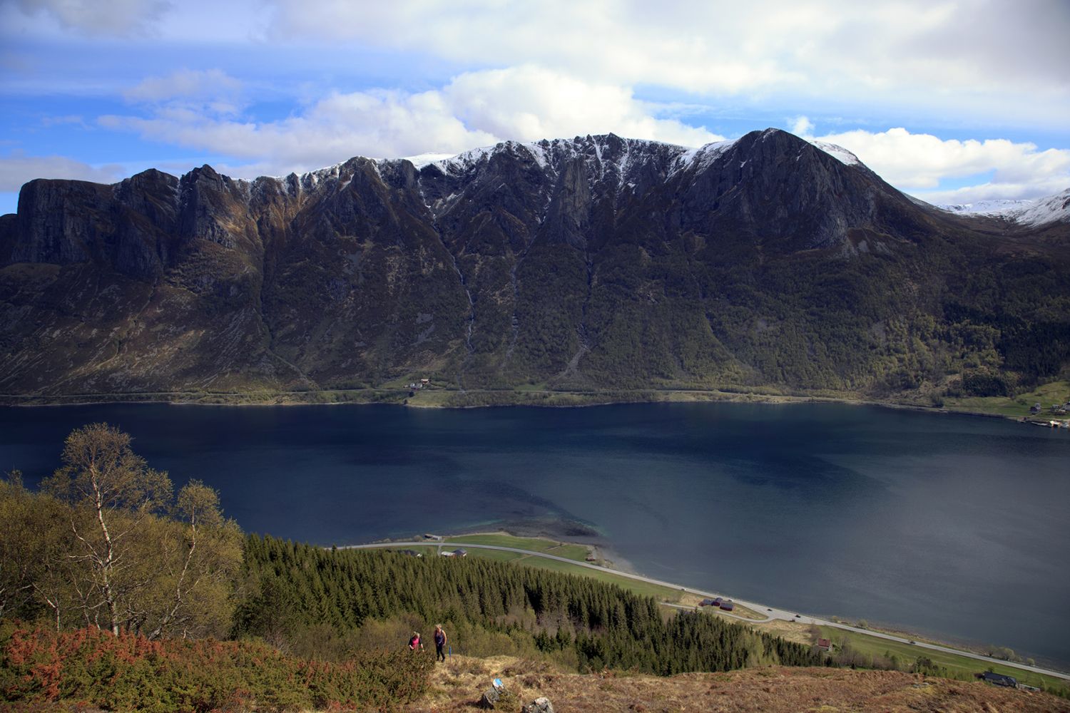
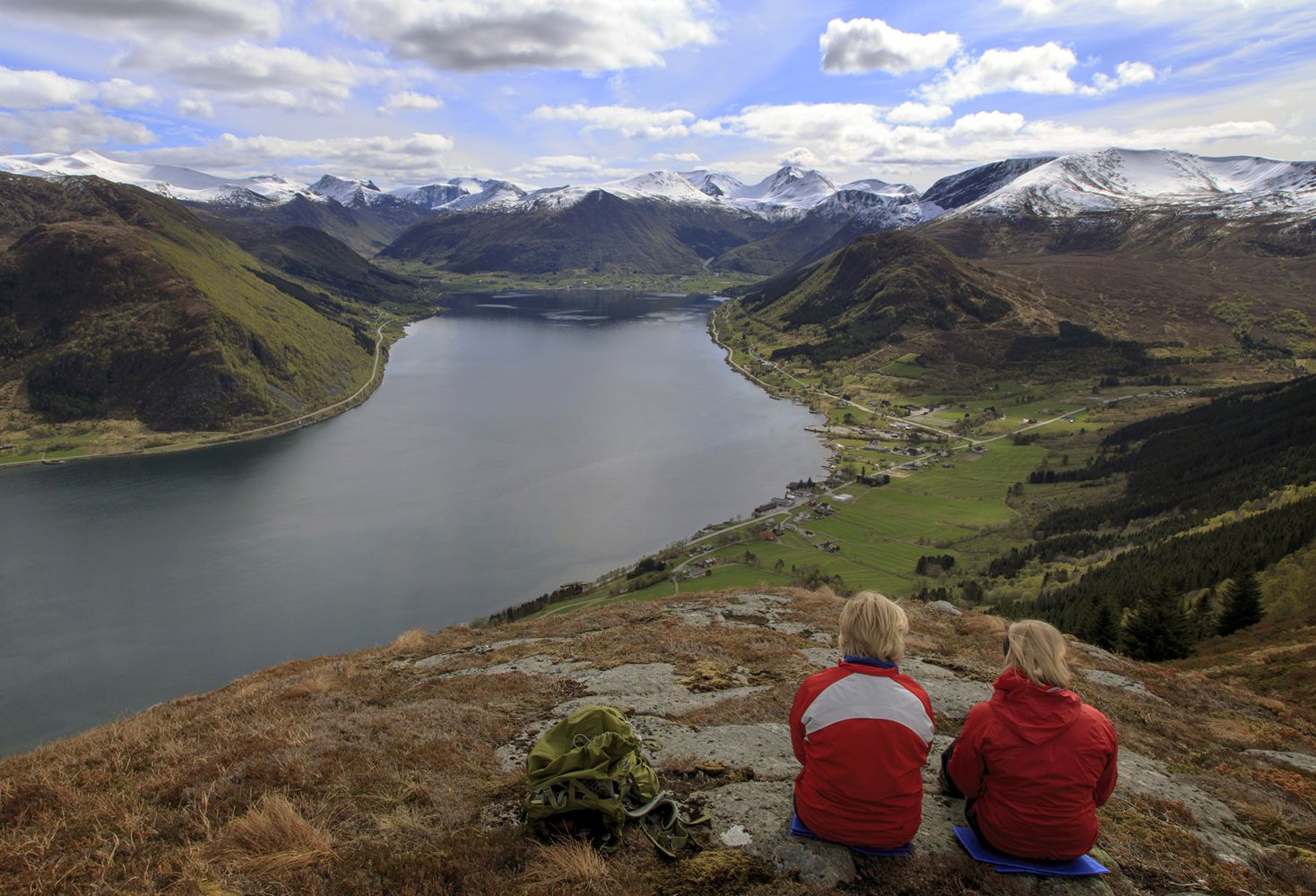
This scenic hiking trail is short and easy to follow. You will reach the first viewing point on Øyranakken already 500 m after the start. The trail covers varied terrain with the areas of mixed forest, open spruce forest, and open landscape. Despite some steep sections, the trail is well suited for families. The trail destination Kolgrovtua is a viewing point located on a plateau of Mount Storehornet which lies right behind it. Instead of walking back down to the starting point, you can continue hiking from Kolgrovtua by going further to Sandnessætra in Sandnesdalen or to Vorakinna.
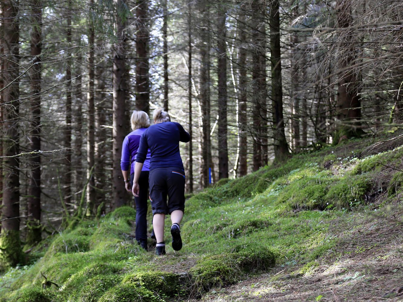
The hike starts with a short section through a cultivated field before you begin walking along a brook in an open spruce forest. Walk through an overgrown grazing field before reaching the first destination on your route which is the viewing point on Øyranakken. After a short section through a relatively open spruce forest, you will come out into open terrain again. This section of open terrain begins with a steep ascent and then becomes more gentle towards the top.
The trail starts about 100 metres away from the old school building in Øyra, Eidså. The starting point is signposted, and the trail is well and clearly marked.
It is usually okay to park near the old school in Øyra.
Duration
1 t. 45 min.

Sesong
Spring, Summer, Autumn
Signage
Both signed and marked
| Surface type |
Distance |
| Sti |
2,8 |
Hiking map: På tur i Vanylven (Eng. Hiking in Vanylven) – can be purchased at local shops and petrol stations in Vanylven Municipality.
 Driving directions
 Route data
GeoJSON