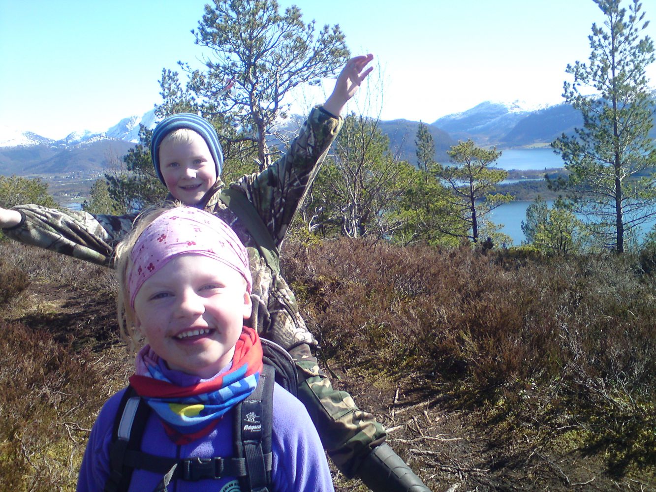
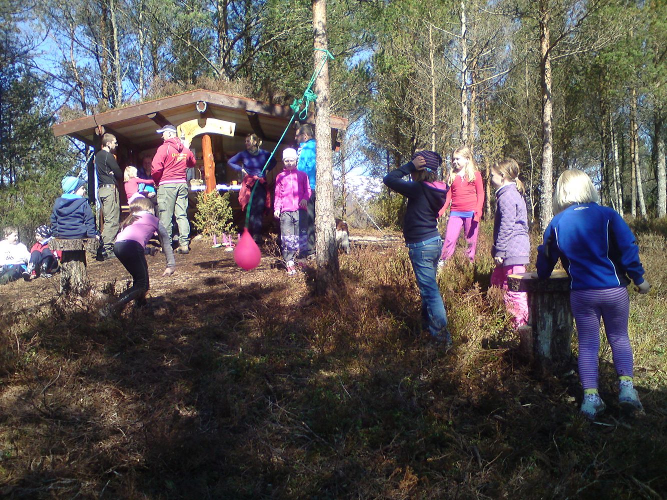
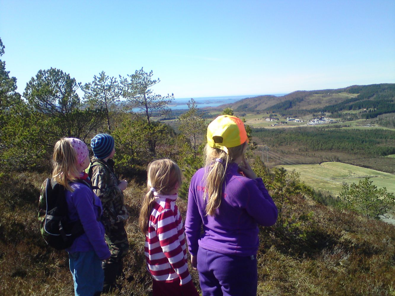
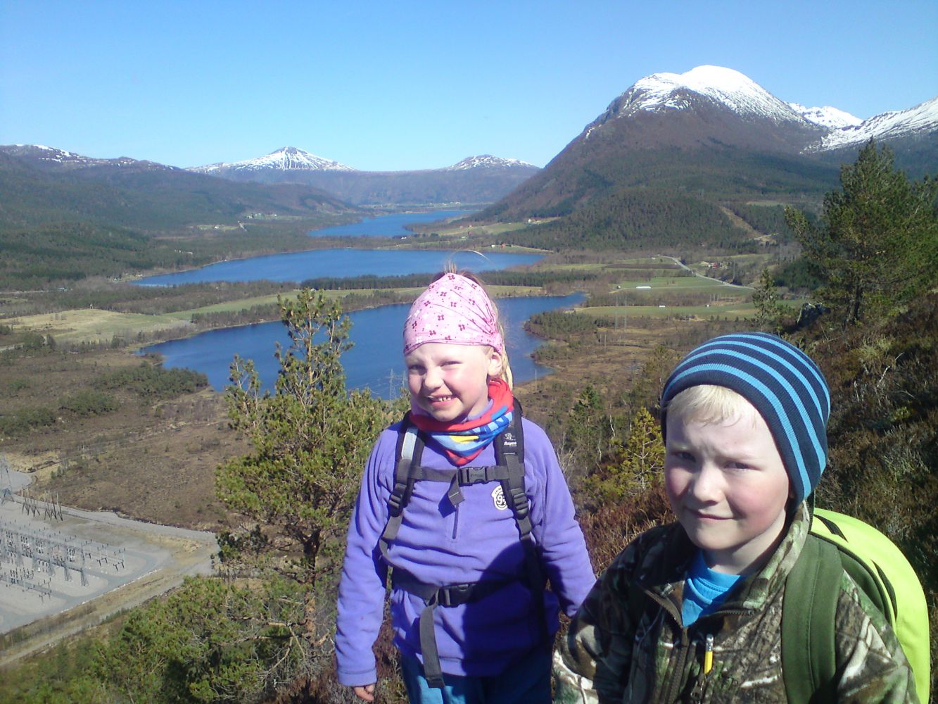
This is a perfect family trail that will quickly take you up to a small hilltop. A couple of hundred metres from the car park are slightly steep, but completely achievable for both children and adults. You will quickly get a view over fjords and mountains! On the hilltop, Klempertåsen, you will first come across a bench with a trail journal. If you walk for a couple of hundred metres further ahead, you will find a gapahuk shelter called Konglebu with a Stikk Ut trail postbox, journal, games, and fun activities for children. This is a great viewing point over the Frænafjorden. You can then choose to follow the same way back or continue hiking either down to Håset or straight ahead to Løset. Both options are well marked. The start and the endpoint are the same.
The trail covers gentle terrain west of Elnesvågen and takes you up a hill. You can park your car next to Helsehuset, the health centre in the western part of Eidem (the former Istad Kraft building). The address is Sethbakken 1, 6440 Elnesvågen. Start by following a fairly steep gravel road for about 400 metres until you reach the height you need for the rest of the hike. Turn left onto a path and walk through the forest and some rocky outcrops. The path from here to the gapahuk shelter runs through some marshy areas. It may be quite muddy here in wet weather. We recommend wearing boots or good-quality mountain shoes. You will first reach the hilltop and see a bench and an information board. The Konglebu gapahuk shelter is about 250 metres further ahead. You can then choose to follow the same way back or continue hiking. From the gapahuk, you can either walk down to Håset or straight ahead to Løset. Both options are well marked. If you want to do a circular walk, turn left in the direction of Elnesvågen as you come down to the footpath and follow it back to the starting point. You could also start the hike from Håset, but the car park there is quite small and you have to contact the landowner Hans Håseth beforehand. He is the one who built the gapahuk shelter and prepared this amazing hiking area.
Park your car next to Helsehuset, the health centre in the western part of Eidem (the former Istad Kraft building). The address is Sethbakken 1, 6440 ELNESVÅGEN.
(Turn off to Hauanvegen Road from FV664 and drive up to Sethbakken 1 for about 100 m.) You will see a trailhead sign here.
You can park your car either in front of the health centre or at the back of the building, next to the storage facility of “Møbelringen – Harald Viken” (the former Istad Kraft building) in the western part of Eidem, Elnesvågen.
Duration
1 t. 15 min.

Sesong
Spring, Summer, Autumn
| Surface type |
Distance |
| Grus |
0,3 |
| Sti |
1,4 |
Take a bus from Molde to Eidem west/Elnesvågen.
All hiking maps/maps of Fræna/Molde
 Driving directions
 Route data
GeoJSON