Norsk

Kjerkjeberget 611 m a.s.l.

Tingvoll

The trail at a glance

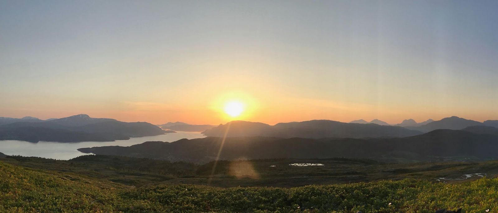
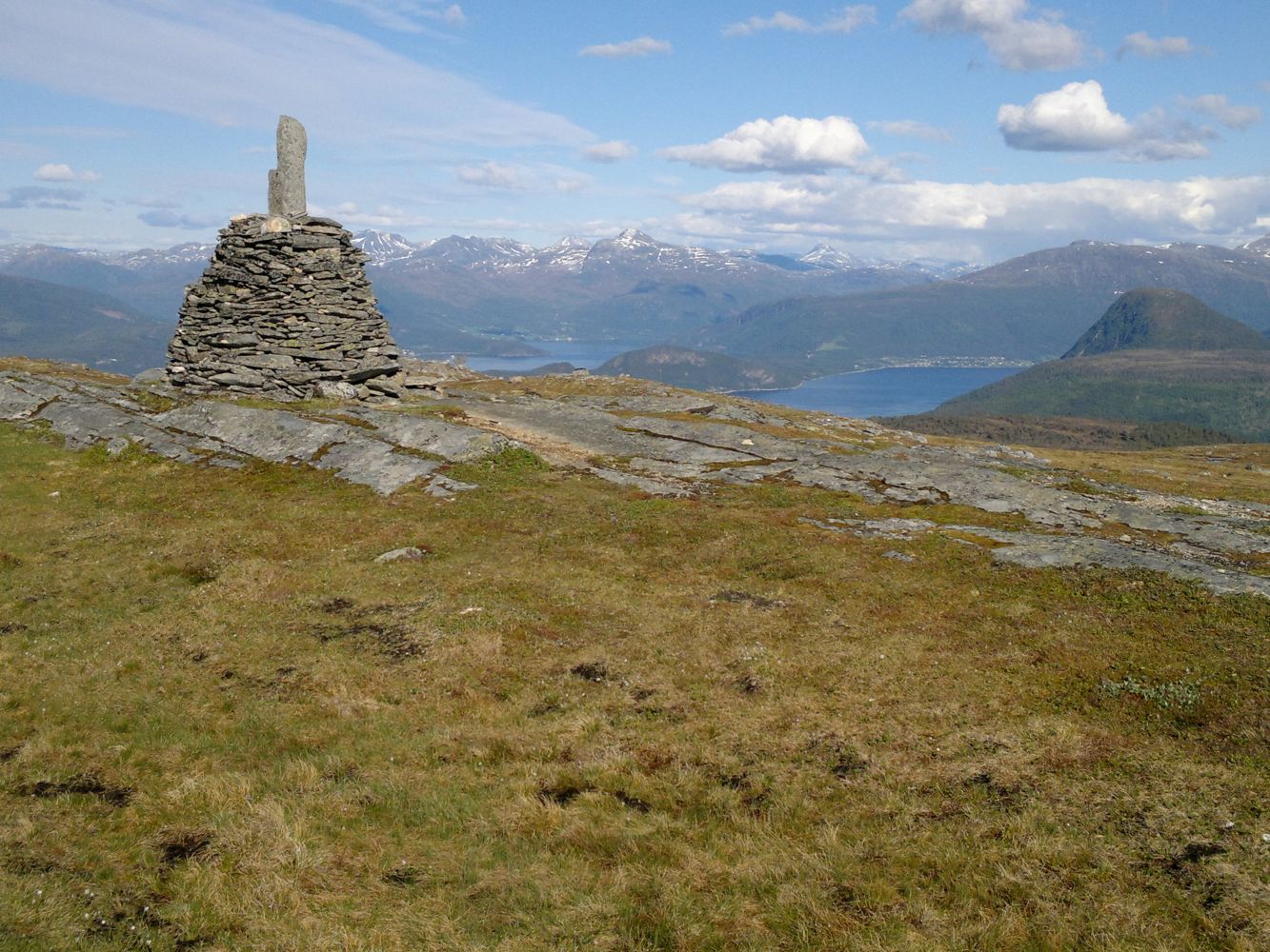
Once you pass the forest, the terrain opens up and offers a great view for the most part of the hike. On your way up, you will see the centre of Tingvoll Municipality and Tingvollfjord. A fantastic view in all directions is waiting for you at the top. There is also a cairn with a copper board and an arrow attached to it where all the mountains you see are embossed. With the help of the arrow you can aim at many famous mountains.

Route description

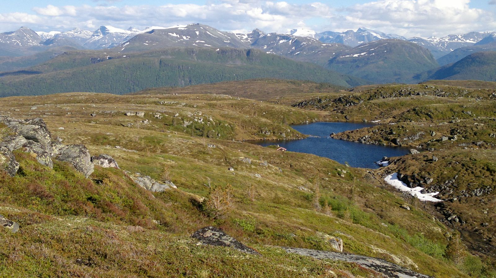
Use the car park of the Sellanrå Community Centre. Follow the marked path from the car park. There is a short section with no clear path when you walk up the marshy area. Do not follow the path towards the cabin that you will see on your right, but walk the path in the middle of the marsh instead. As you walk further, the path swings left (west) and you will follow a solid path up to the top.GPS coordinates UTM: 32V 0461899 6974731

Arrival and parking

The hike starts from the Sellanrå Community Centre. Drive to Tingvoll and continue in the direction of Meisingset. As you drive uphill facing Saghøgda (from Tingvollvågen), turn off the road to the left and follow the sign for the Community Centre (“Grendahus”). Park your car outside the Community Centre. Follow the marked path from the car park. You can park your car outside the Sellanrå Community Centre. GPS coordinates of the car park (decimal degrees): 62.90.477 008.20.793
Hiking route
Blue
Distance
3,65 km one way
Elevation
551 m
Duration
3 t. 15 min.
Highest Point
596 masl

Map route

Surface type Distance
Sti 7,4

Public transport

The bus between Kristiansund and Oppdal passes the starting point of the trail. Get off the bus near the shops called Tingvoll Radio & TV, Tingvoll Sports, and Haugen and walk a few meters back towards the centre of Tingvoll. You will see a sign for the Community Centre (“Grendahus”). http://www.177mr.no

Map

Tingvoll tourist map 1:50 000 or 1320 I Tingvoll and 1420 IV Stangvik
Driving directions

API endpoints

Route data GeoJSON