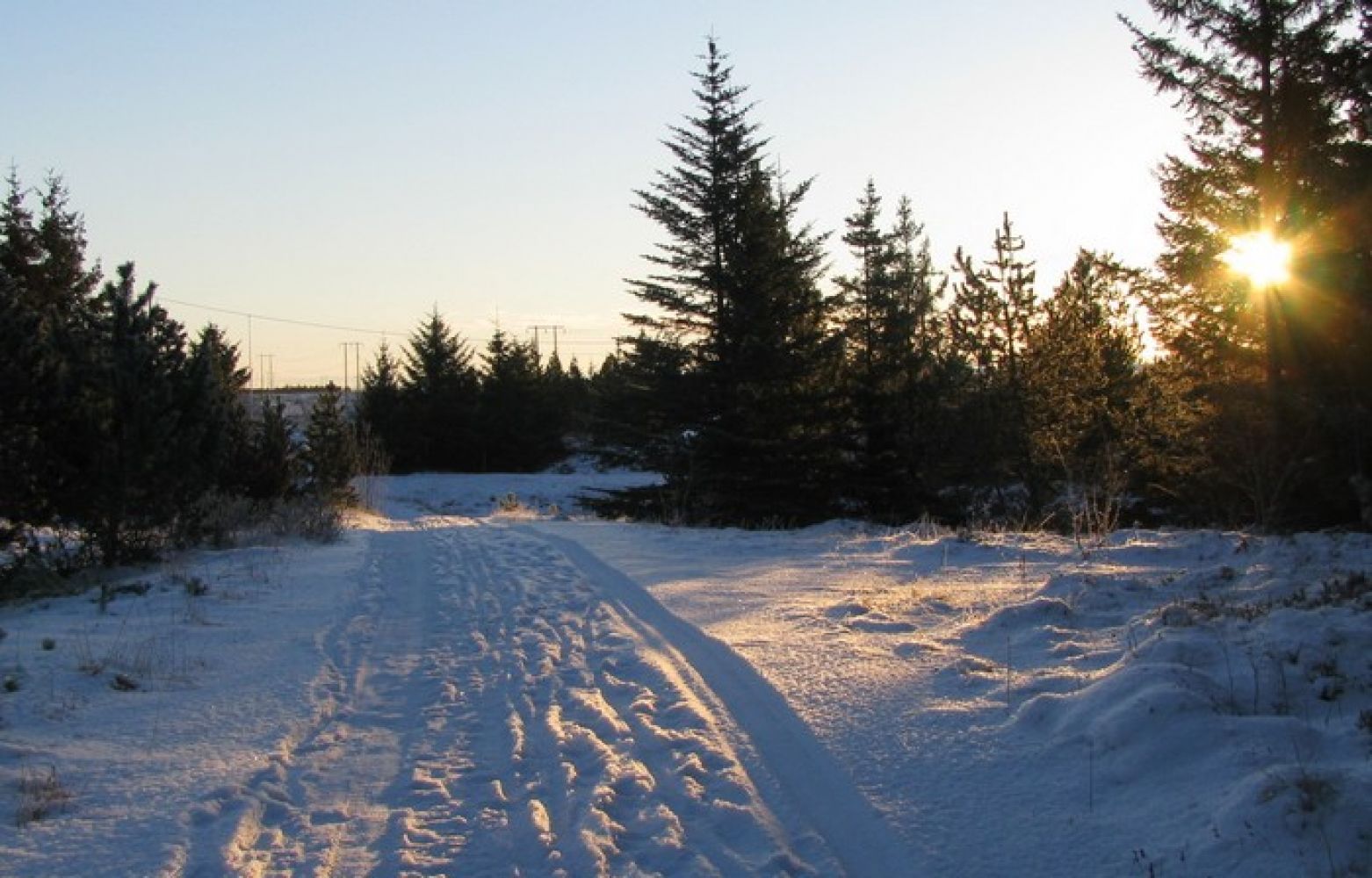
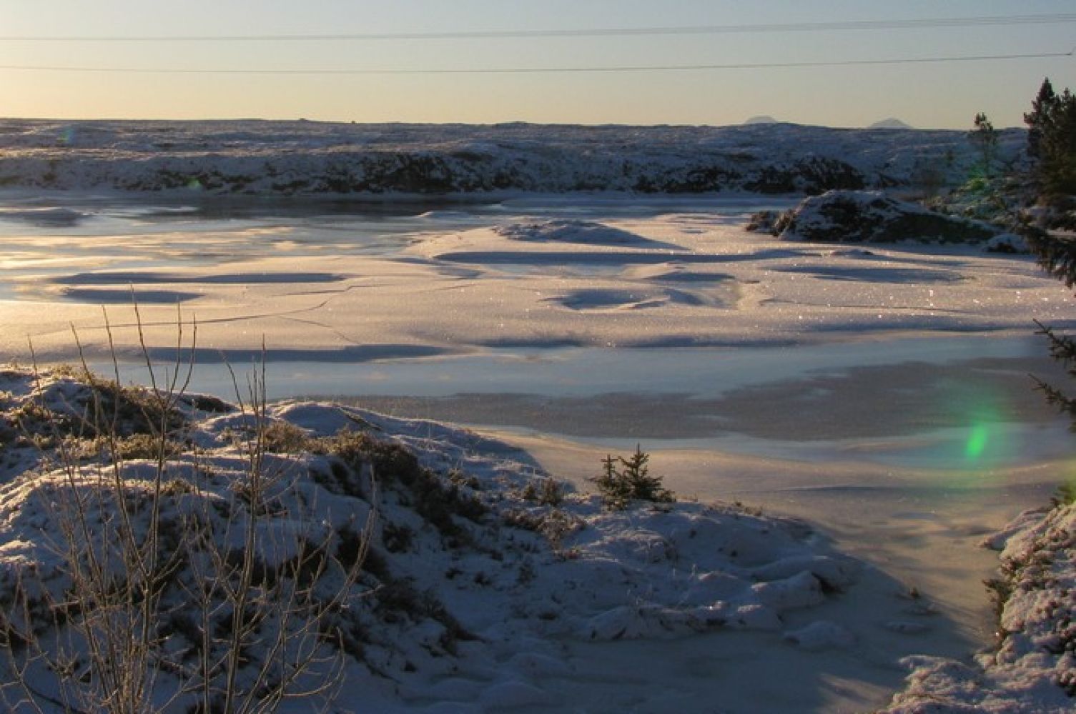
This trail is best enjoyed as a looped trail. If you are fit enough, you can do several rounds or maybe put on your running shoes and go for a run. You can also take several hikes here. It is up to you to decide whether your efforts are worth making several records in the trail journal, even if the time interval between each hike was only a few minutes.
Route description
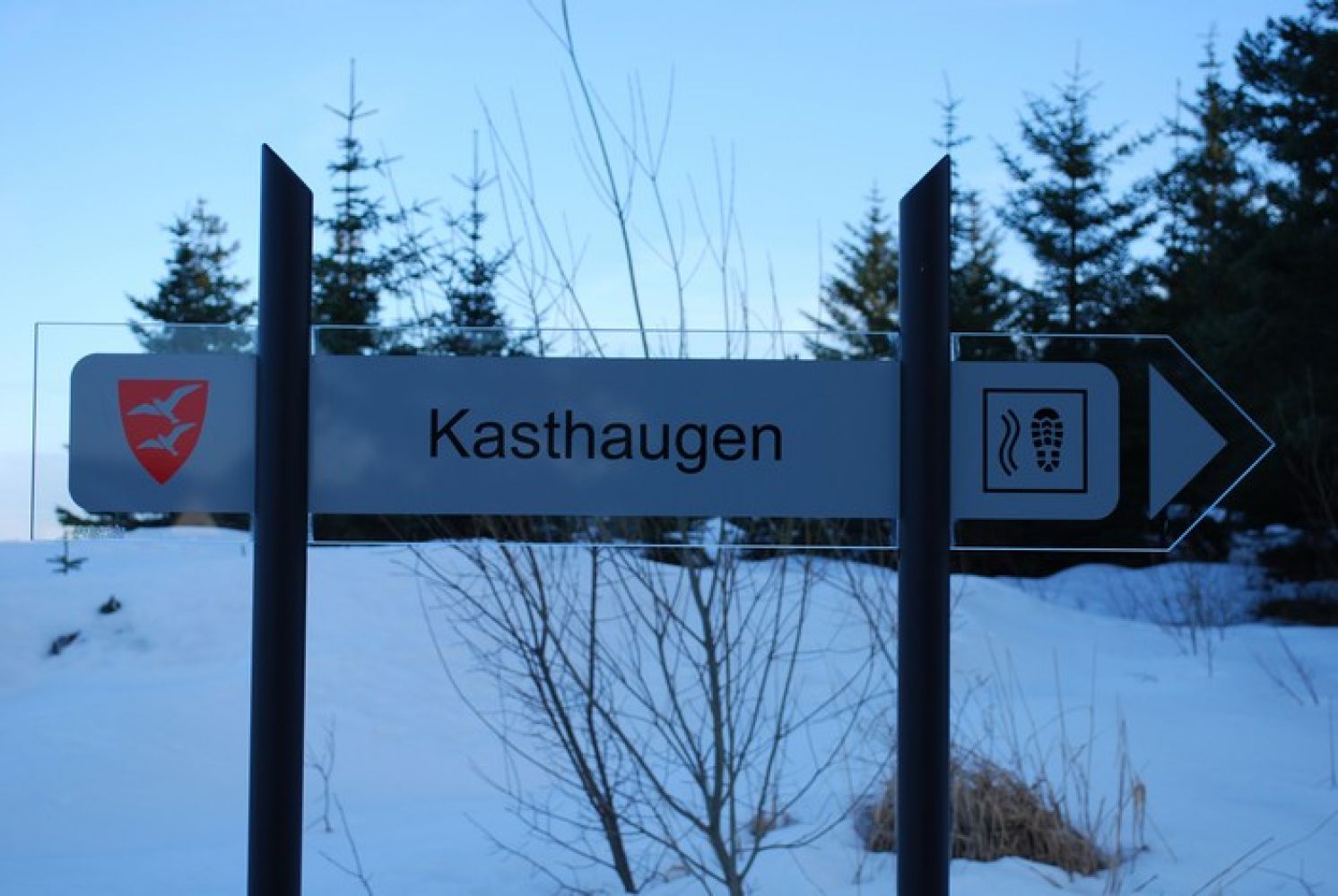
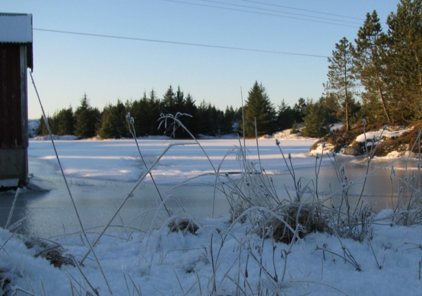
We recommend that you either park your car in the area around Hopen Brygge or next to the business centre. From there, walk along the national road until you reach the junction with a sign to Veiholmen. Take a look at the other side of the road. You will see a sign there. Follow the road south as it takes you up the hill and walk past the meeting hall of a local youth association. Continue walking along the gravel road until you reach a small pump house down by the lake. This is where you will find the trail postbox. Alternatively, you can walk in the opposite direction along the national road and turn onto the side road near the small bridge across the Hopaelva river. Follow the gravel road past the large white house that stands between the road and the river. Continue walking until you get to the area where the river is a little wider and creates a pool down by a residential house. You will find the trail postbox on your way to the small pump house.
Arrival and parking
The trail starts once you arrive at the island of Edøya/Smøla. County Road 669 goes around the island of Smøla. From Edøya, drive for 8 km until you reach a junction. You can turn to either right or left at the junction to get to Hopen where this trail destination is located. We recommend that you take the turn to the right. Follow the road for 6 km until you reach Nelvika. Turn off to the left at the junction and drive up in the direction of Frostadheia. This road takes you right across the island of Smøla. Drive straight ahead until you come to a junction and see a petrol station/kiosk on your left. Turn off to the left and continue driving until you reach the centre of Hopen where you can see both the Smølahallen Sports Hall, the City Hall (Rådhuset) and the business centre. Before you enter Hopen, you will come across a junction with a sign to Veiholmen. You will see a side road leading up to the meeting hall of the Nordsmøla Youth Association. There is quite a lot of forest in the area, so the meeting hall is not visible from the road. But the sign on the hill points to the trail.
You can park your car in the area around Hopen Brygge or next to the business centre.
Hiking route
Green
Distance
1,40 km one way
Elevation
6 m
Duration
20 min.
Sesong
Winter, Spring, Summer, Autumn
Highest Point
8 masl
Signage
Both signed and marked
Mobile coverage
Map route
Surface type
Distance
Asfalt
0,4
Sti
1
Public transport
It is possible to take a bus.
Other
The trail is evenly shaped and accessible for everyone.

 Driving directions
 Route data