Around Karihavet
Tingvoll
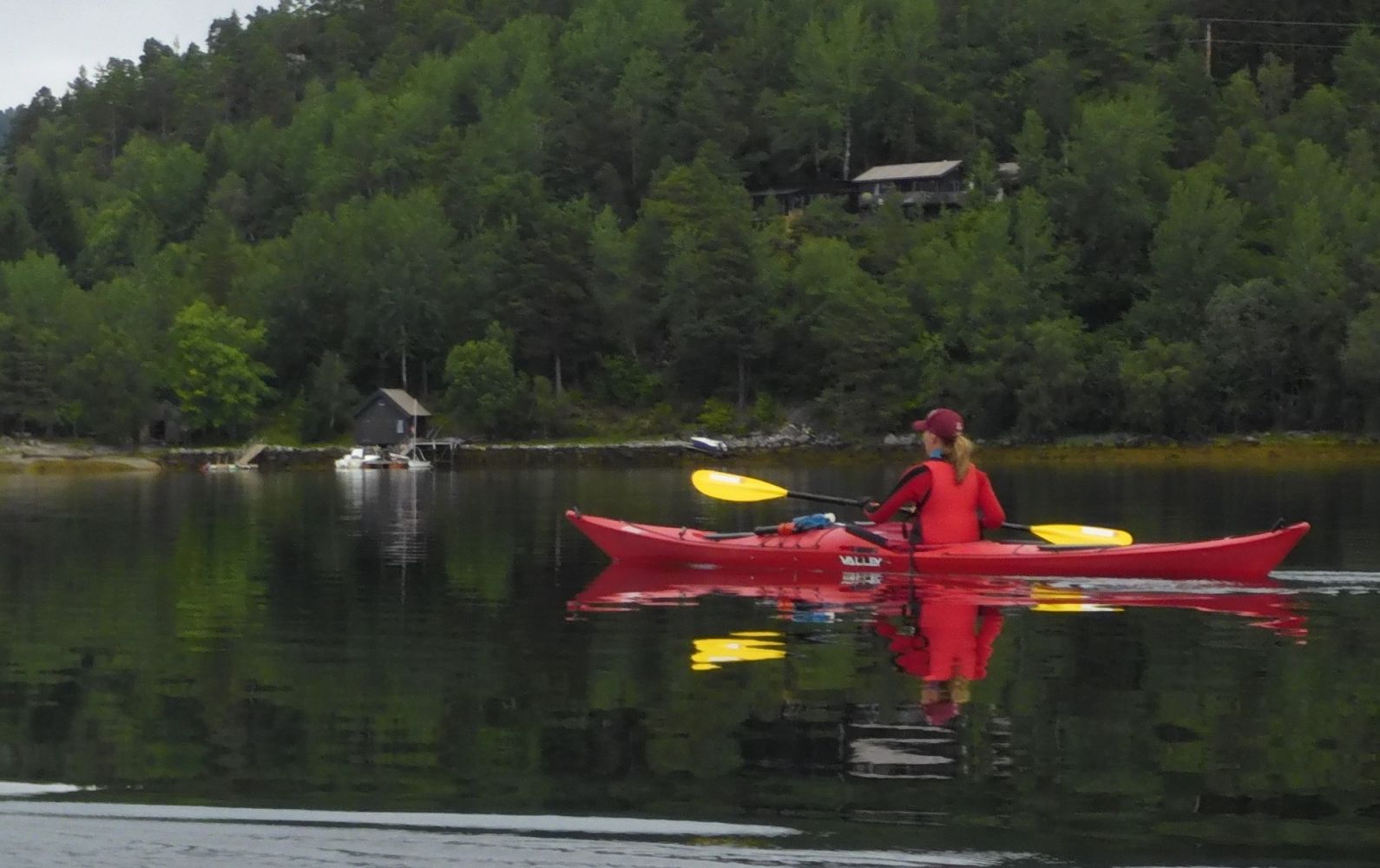
This is a paddling route in a beautiful area where you'll pass forests with both pine trees and deciduous trees, sheltered bays and beaches near the sound of Nålsund. The name comes from an era when trolls and wights were thought to have governed Norway. Legend has it that the troll in Frei sought to pull the Vettafjellet mountain towards him from the opposite side of the fjord. This created Karihavet, a large bay, which is a good place for paddling as it is sheltered from the wind in most directions.
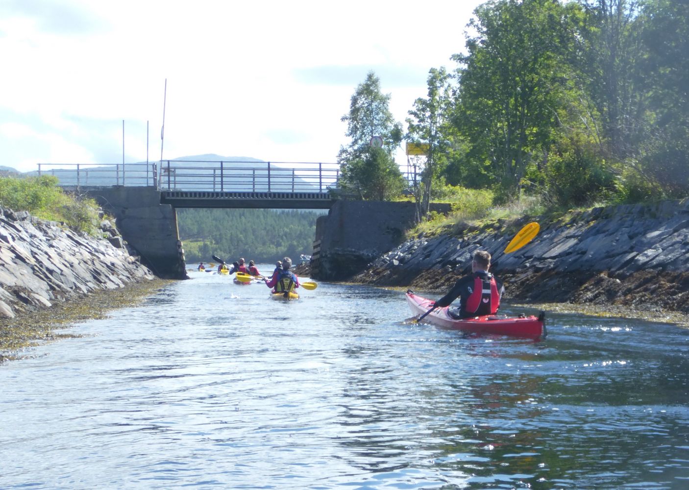
There are several good places to launch a kayak along the Nålsund channel. You can launch from the boat slip on the west side of the channel, but you can also start your trip on one of the two nice beaches on the east of the channel. One of the beaches is on the south side of Nålsund, and the other is on the north side. The beach on the south side is sheltered from northerly winds. If winds are from the south, the northern beach is best.
The shortest route south of the launch leads directly across Nålsund sound and over to Børkjeneset. If you want to make this crossing shorter (approx. 350 metres), take the first route via Nastadholmen before crossing over to Børkjeneset.
From Børkjeneset, you will be entering the Langsetvågen sound. If you have calculated the tides properly, the tide should be ebbing and you can ride the current down toward the boating association building. The current may be not that strong, so you should be able to paddle against it, especially if you stay close to land. The premises of the boating association is a good place to go ashore for a break. This is also a good alternative starting point if you want to start your journey from the south and paddle north towards the Nålsund channel. Make sure you don't block the boat slip when parking. Use the large parking area on the south side of the boating association's premises.
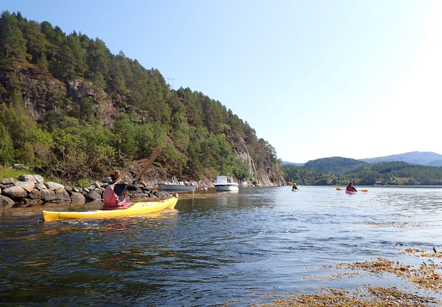
On the way home, you may want to take the route along the east side of Langsetvågen, which is a sheltered area with cabins dotting the shore and smaller islands. After about 2 km of paddling along Langsetvågen, you will reach Skjerneset. Here, Karihavet opens again in all its glory. If you want to extend the route back to the Nålsund channel a bit, you can paddle southwest and in through the idyllic Faksvågen and continue along land northeast up to the Nålsund channel. Those who want to paddle further can follow the narrow Nålsund channel out to the open sea. In northerly winds, it may be fun to paddle out through the channel and test the waves that form in these winds.
A good place to start this route is in the Nålsund channel, north of Karihavet. Parking has been approved by the landowner. However, they do ask paddlers not to block boat slips. The parking area is west of the channel on the north side of the road, and there are spaces for 3-4 cars.
Distance
10,38 km one way
Duration
2 t. 40 min.

Sesong
Spring, Summer, Autumn
Signage
No signage or markings
This route leads through sheltered areas. There may be some current in Langsetvågen, but these are not challenging.
 Driving directions
 Route data
GeoJSON