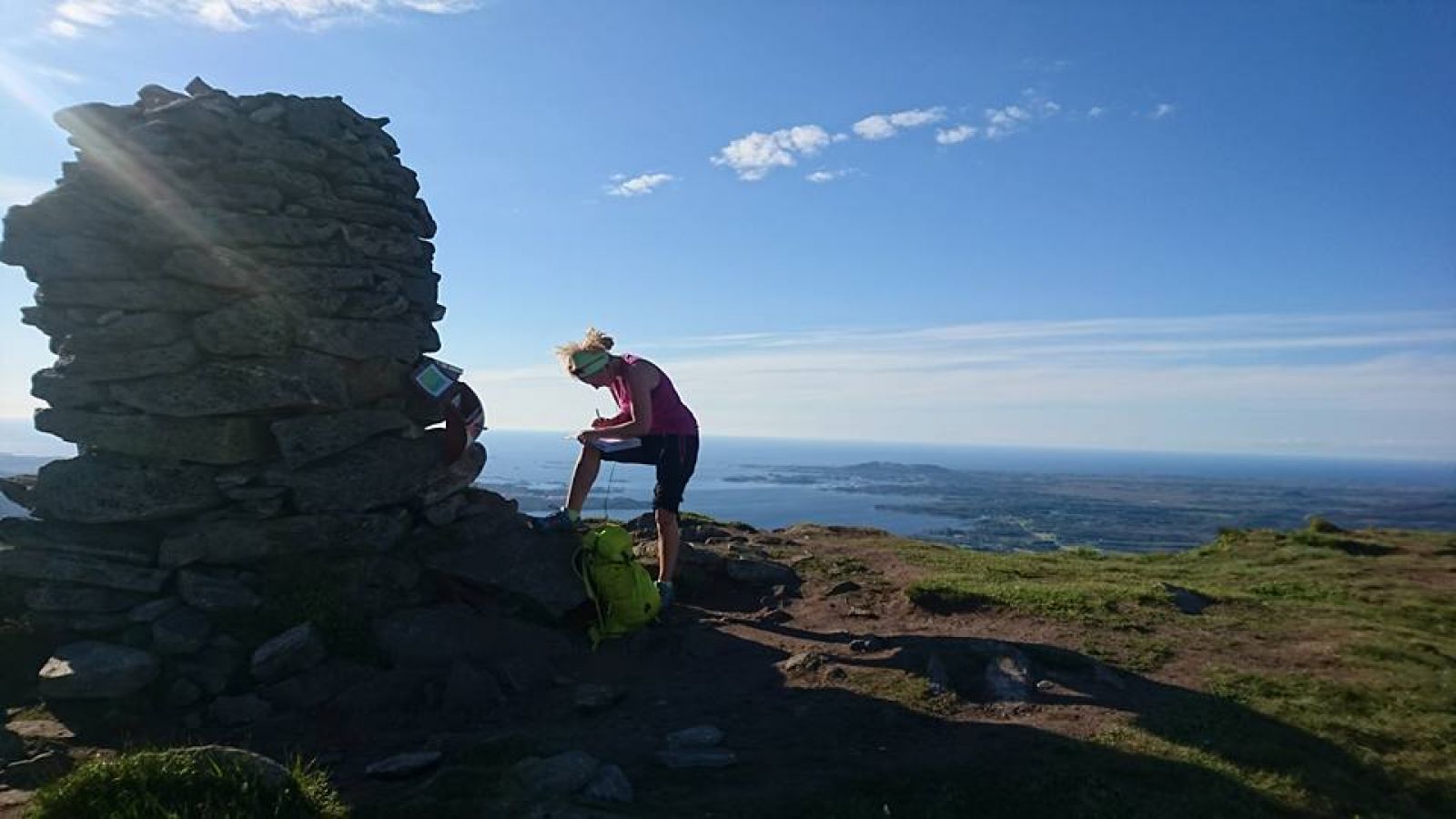
Jendemsfjellet from Jendem
Hustadvika
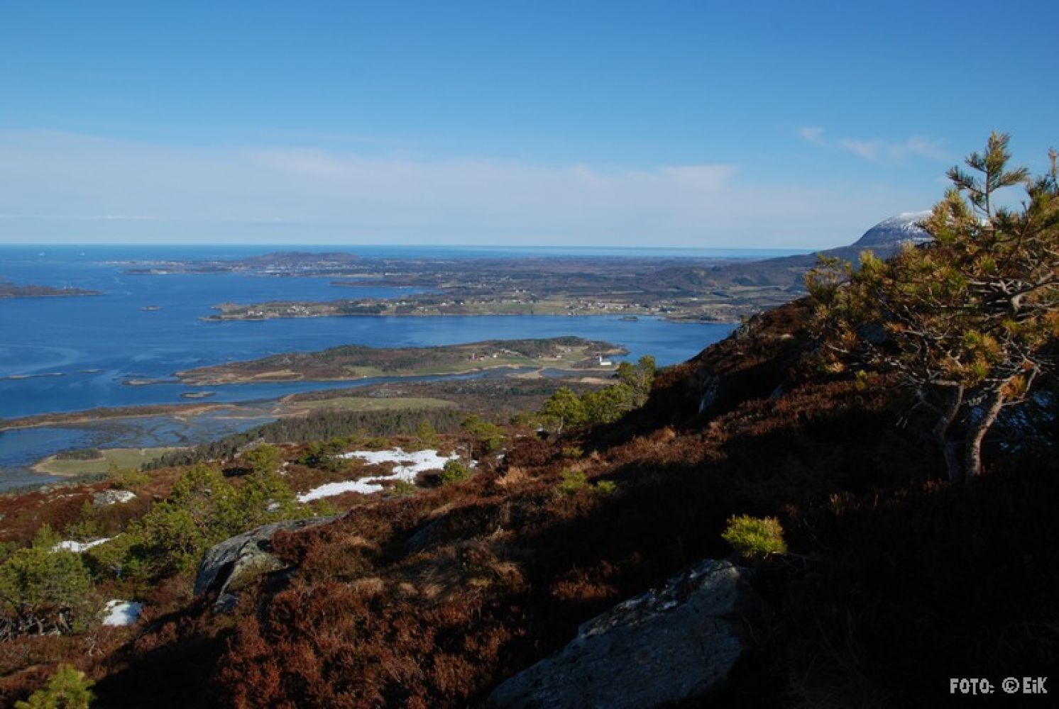
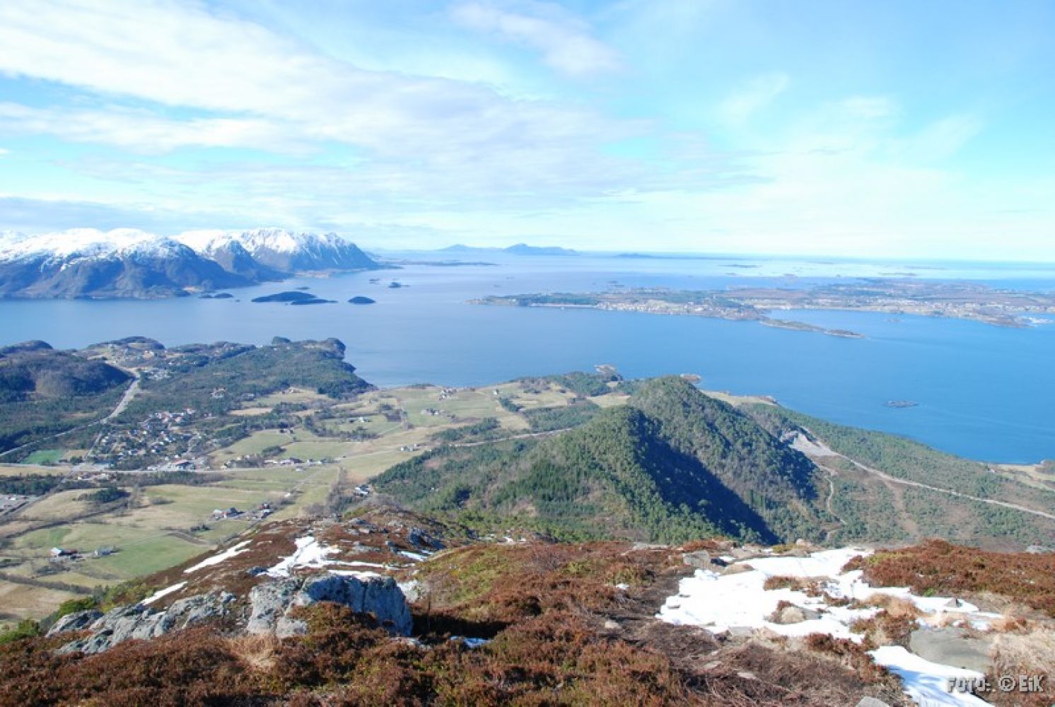
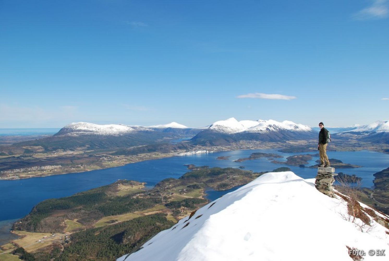
This trail offers a great view both on your way up and from the mountaintop. It is one of the most visited hiking destinations in Fræna, especially popular among the residents of Molde. Enjoy the fantastic view from the top of Mount Jendemsfjellet!
This scenic trail takes you to the top of Mount Jendemsfjellet in the southern part of the former Fræna Municipality.
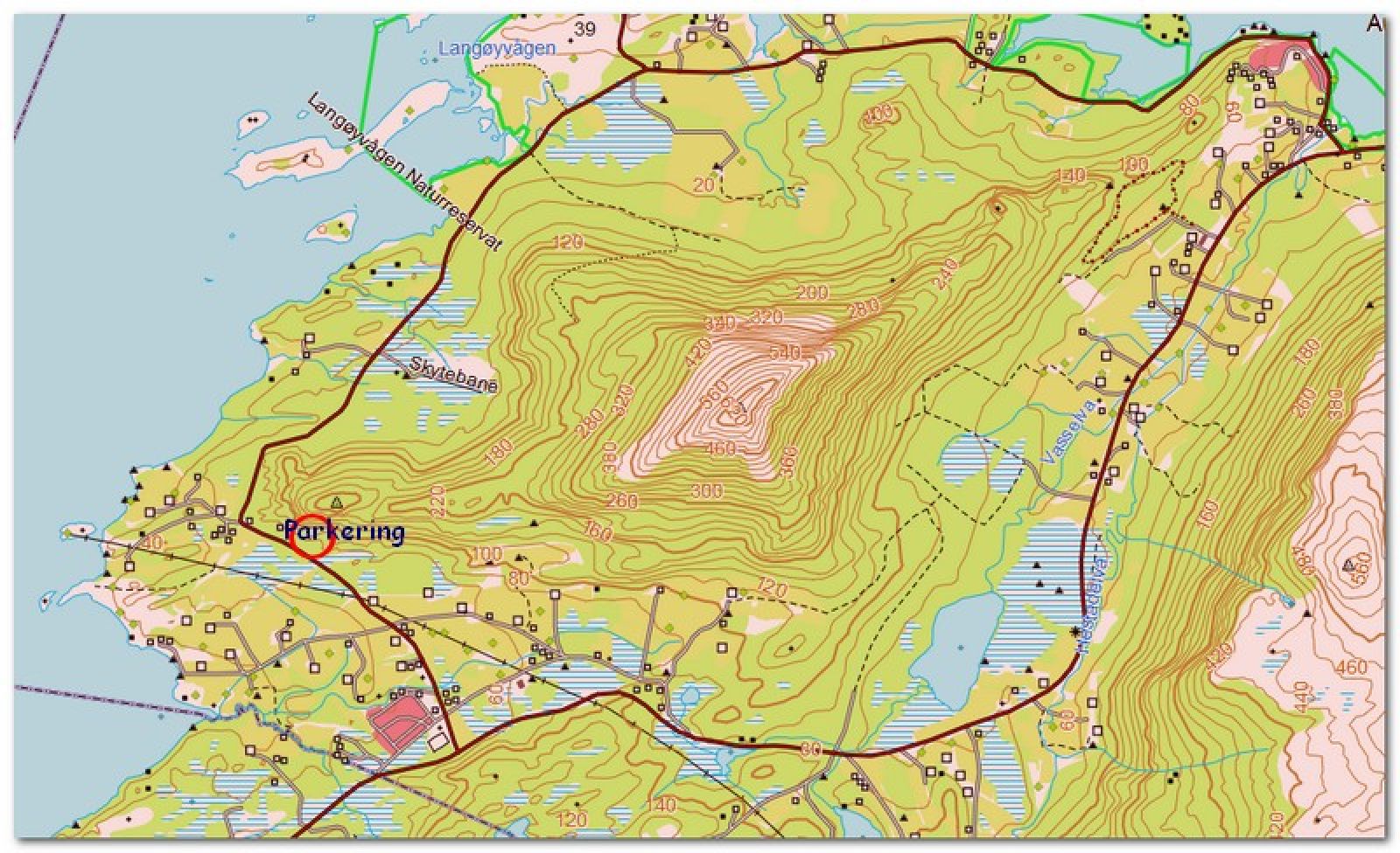
A new hiking trail runs from the car park along the mountain ridge. Wet sections are now covered with wooden footpaths. After about 20 minutes of walking, you will reach a forest road (the old way up) before taking the right turn onto a path that climbs up to the mountaintop. You might see the top, or what you think is a top, several times before actually reaching it. Motivate children by saying the main top is even better! There is also an information board on your way up.
This is a popular hiking destination with a fantastic view in all directions. The hiking path covers some rough terrain with a number of steep sections.
It is possible to return by walking down the other side of the mountain to the Aureosen hiking trail. (It is almost completed, but not marked yet.) If you choose this option, you will have to arrange transportation between the old Aureosen school and the hiking car park in Jendem.
Follow the sign that reads “Jendemsfjellet” from Jendem. Drive for about 1 km until you reach a signposted car park next to the road around Jendemsfjellet. A well marked hiking trail starts from the car park.
If you drive from Molde/Julsundet, turn off towards Vågøy in Jendem. Drive for about 1 km in that direction. Take the exit road next to the artificial grass football pitch in Jendem.
Duration
2 t. 40 min.

Sesong
Spring, Summer, Autumn
Signage
Both signed and marked
| Surface type |
Distance |
| Sti |
5 |
You can take a bus to Jendem and walk from the artificial grass football pitch. In that case, you will first walk along an asphalt road before reaching the hiking car park.
Molde and Fræna hiking map
 Driving directions
 Route data
GeoJSON